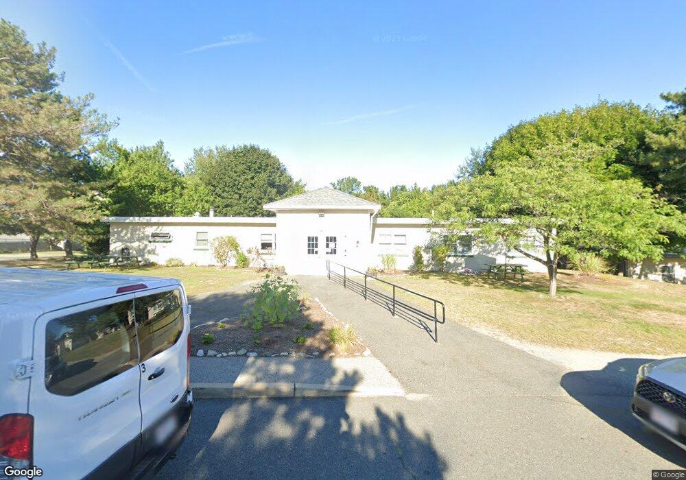
64 Broad Reach Unit 107 Weymouth, MA 02191
North Weymouth NeighborhoodEstimated Value: $508,556 - $627,000
2
Beds
2
Baths
1,563
Sq Ft
$354/Sq Ft
Est. Value
About This Home
This home is located at 64 Broad Reach Unit 107, Weymouth, MA 02191 and is currently estimated at $553,639, approximately $354 per square foot. 64 Broad Reach Unit 107 is a home located in Norfolk County with nearby schools including Wessagusset Elementary School, Abigail Adams Middle School, and Weymouth Middle School Chapman.
Ownership History
Date
Name
Owned For
Owner Type
Purchase Details
Closed on
Aug 5, 2005
Sold by
East Bay At Weym Corp
Bought by
Fitzpatrick Gary J
Current Estimated Value
Home Financials for this Owner
Home Financials are based on the most recent Mortgage that was taken out on this home.
Original Mortgage
$261,000
Outstanding Balance
$136,842
Interest Rate
5.63%
Mortgage Type
Purchase Money Mortgage
Estimated Equity
$416,797
Create a Home Valuation Report for This Property
The Home Valuation Report is an in-depth analysis detailing your home's value as well as a comparison with similar homes in the area
Home Values in the Area
Average Home Value in this Area
Purchase History
| Date | Buyer | Sale Price | Title Company |
|---|---|---|---|
| Fitzpatrick Gary J | $290,000 | -- |
Source: Public Records
Mortgage History
| Date | Status | Borrower | Loan Amount |
|---|---|---|---|
| Open | Fitzpatrick Gary J | $261,000 |
Source: Public Records
Tax History Compared to Growth
Tax History
| Year | Tax Paid | Tax Assessment Tax Assessment Total Assessment is a certain percentage of the fair market value that is determined by local assessors to be the total taxable value of land and additions on the property. | Land | Improvement |
|---|---|---|---|---|
| 2025 | $4,820 | $477,200 | $0 | $477,200 |
| 2024 | $4,689 | $456,600 | $0 | $456,600 |
| 2023 | $4,381 | $419,200 | $0 | $419,200 |
| 2022 | $4,333 | $378,100 | $0 | $378,100 |
| 2021 | $4,170 | $355,200 | $0 | $355,200 |
| 2020 | $4,141 | $347,400 | $0 | $347,400 |
| 2019 | $3,974 | $327,900 | $0 | $327,900 |
| 2018 | $3,851 | $308,100 | $0 | $308,100 |
| 2017 | $3,855 | $300,900 | $0 | $300,900 |
| 2016 | $3,396 | $265,300 | $0 | $265,300 |
| 2015 | $3,275 | $253,900 | $0 | $253,900 |
| 2014 | $3,251 | $244,400 | $0 | $244,400 |
Source: Public Records
Map
Nearby Homes
- 51 Broad Reach Unit T23A
- 130 Broad Reach Unit 506
- 130 Broad Reach Unit 206
- 73 Broad Reach Unit M36C
- 73 Broad Reach Unit M21C
- 10 Shipyard Dr Unit 313
- 16 Caldwell St
- 125 Halsted Dr Unit 125
- 81 Kimball Beach Rd
- 93 Kimball Beach Rd
- 16 Foley Beach Rd
- 69 Great Hill Dr
- 15 Bayberry Rd
- 16 Beal's Cove Rd Unit E
- 10 Beals Cove Rd Unit C
- 504 Tuckers Ln
- 53 Bel Air Rd
- 53 Bel Air Rd - To Be Built
- 5 Beals Cove Rd Unit E
- 17 Paige St
- 64 Broad Reach Unit 410
- 64 Broad Reach Unit 210
- 64 Broad Reach Unit 308
- 64 Broad Reach Unit 510
- 64 Broad Reach Unit 501
- 64 Broad Reach Unit 508
- 64 Broad Reach Unit 512
- 64 Broad Reach Unit 309
- 64 Broad Reach Unit 209
- 64 Broad Reach Unit 112
- 64 Broad Reach Unit 212
- 64 Broad Reach Unit 607
- 64 Broad Reach Unit 111
- 64 Broad Reach Unit 612-A
- 64 Broad Reach Unit 408
- 64 Broad Reach Unit 411A
- 64 Broad Reach Unit 511
- 64 Broad Reach Unit 611
- 64 Broad Reach Unit 507
- 64 Broad Reach Unit 307