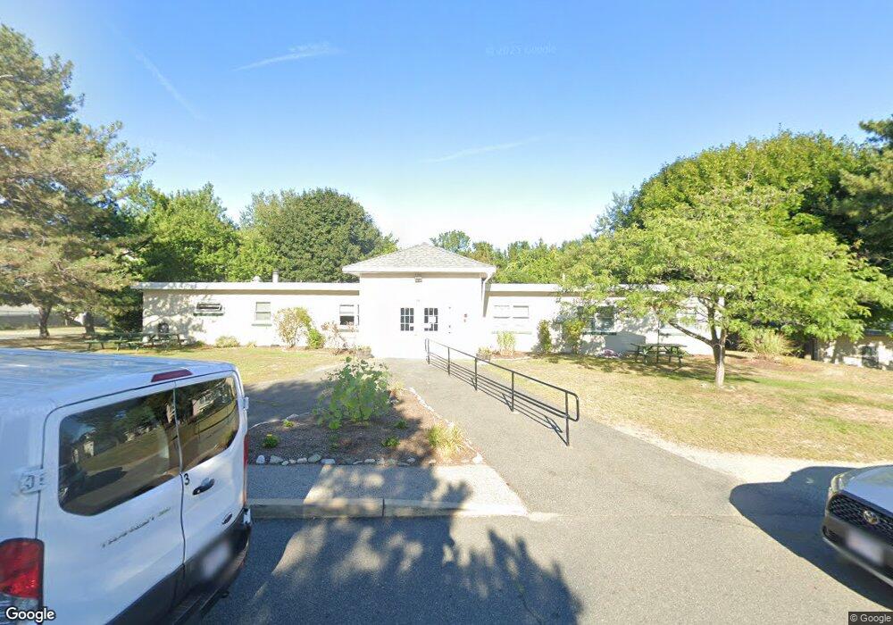
64 Broad Reach Unit 307 Weymouth, MA 02191
North Weymouth NeighborhoodEstimated Value: $604,000 - $687,000
2
Beds
2
Baths
1,563
Sq Ft
$411/Sq Ft
Est. Value
About This Home
This home is located at 64 Broad Reach Unit 307, Weymouth, MA 02191 and is currently estimated at $642,474, approximately $411 per square foot. 64 Broad Reach Unit 307 is a home located in Norfolk County with nearby schools including Wessagusset Elementary School, Abigail Adams Middle School, and Weymouth Middle School Chapman.
Ownership History
Date
Name
Owned For
Owner Type
Purchase Details
Closed on
Nov 15, 2021
Sold by
Labrecque Patricia H
Bought by
Labrecque Rt
Current Estimated Value
Purchase Details
Closed on
Oct 20, 2015
Sold by
Elizabeth D Forsyth Ft
Bought by
Labrecque James R and Labrecque Patricia H
Purchase Details
Closed on
Apr 20, 2012
Sold by
Elizabeth D Forsyth T
Bought by
Elizabeth D Forsyth Ft
Purchase Details
Closed on
Mar 10, 2011
Sold by
Forsyth Elizabeth D
Bought by
Elizabeth D Forsyth T
Purchase Details
Closed on
Dec 28, 1987
Sold by
Weymthport East Bay
Bought by
Cairns Natalie M
Home Financials for this Owner
Home Financials are based on the most recent Mortgage that was taken out on this home.
Original Mortgage
$247,500
Interest Rate
10.67%
Mortgage Type
Purchase Money Mortgage
Create a Home Valuation Report for This Property
The Home Valuation Report is an in-depth analysis detailing your home's value as well as a comparison with similar homes in the area
Home Values in the Area
Average Home Value in this Area
Purchase History
| Date | Buyer | Sale Price | Title Company |
|---|---|---|---|
| Labrecque Rt | -- | None Available | |
| Labrecque James R | $336,500 | -- | |
| Elizabeth D Forsyth Ft | -- | -- | |
| Elizabeth D Forsyth T | -- | -- | |
| Cairns Natalie M | $275,000 | -- |
Source: Public Records
Mortgage History
| Date | Status | Borrower | Loan Amount |
|---|---|---|---|
| Previous Owner | Cairns Natalie M | $247,500 |
Source: Public Records
Tax History
| Year | Tax Paid | Tax Assessment Tax Assessment Total Assessment is a certain percentage of the fair market value that is determined by local assessors to be the total taxable value of land and additions on the property. | Land | Improvement |
|---|---|---|---|---|
| 2025 | $6,342 | $627,900 | $0 | $627,900 |
| 2024 | $6,165 | $600,300 | $0 | $600,300 |
| 2023 | $5,760 | $551,200 | $0 | $551,200 |
| 2022 | $5,698 | $497,200 | $0 | $497,200 |
| 2021 | $5,479 | $466,700 | $0 | $466,700 |
| 2020 | $5,438 | $456,200 | $0 | $456,200 |
| 2019 | $5,429 | $447,900 | $0 | $447,900 |
| 2018 | $5,256 | $420,500 | $0 | $420,500 |
| 2017 | $5,004 | $390,600 | $0 | $390,600 |
| 2016 | $4,407 | $344,300 | $0 | $344,300 |
| 2015 | $4,251 | $329,500 | $0 | $329,500 |
| 2014 | $3,973 | $298,700 | $0 | $298,700 |
Source: Public Records
Map
Nearby Homes
- 54 Broad Reach Unit 104
- 51 Broad Reach Unit T23A
- 300 River St Unit 12
- 130 Broad Reach Unit 206
- 73 Broad Reach Unit M36C
- 73 Broad Reach Unit M21C
- 23 Shipyard Dr Unit 206
- 16 Caldwell St
- 132 Hms Stayner Dr Unit 132
- 151 Stayner Dr Unit 151
- 2 Beach Ln
- 81 Kimball Beach Rd
- 16 Foley Beach Rd
- 53 Bel Air Rd - To Be Built
- 17 Paige St
- 12 Daley Rd
- 109 Merryknoll Rd
- 92 Doris Dr
- 55 Blackstone Rd
- 137 Wessagussett Rd
- 64 Broad Reach Unit 410
- 64 Broad Reach Unit 210
- 64 Broad Reach Unit 308
- 64 Broad Reach Unit 510
- 64 Broad Reach Unit 501
- 64 Broad Reach Unit 508
- 64 Broad Reach Unit 512
- 64 Broad Reach Unit 309
- 64 Broad Reach Unit 209
- 64 Broad Reach Unit 112
- 64 Broad Reach Unit 212
- 64 Broad Reach Unit 607
- 64 Broad Reach Unit 111
- 64 Broad Reach Unit 612-A
- 64 Broad Reach Unit 408
- 64 Broad Reach Unit 411A
- 64 Broad Reach Unit 511
- 64 Broad Reach Unit 611
- 64 Broad Reach Unit 107
- 64 Broad Reach Unit 507