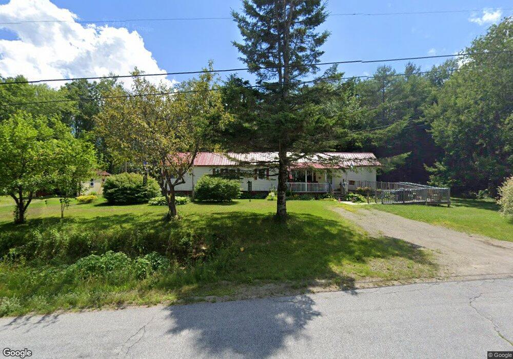
64 Brock Rd Searsport, ME 04974
Estimated Value: $80,859 - $267,000
--
Bed
--
Bath
630
Sq Ft
$225/Sq Ft
Est. Value
About This Home
This home is located at 64 Brock Rd, Searsport, ME 04974 and is currently estimated at $141,965, approximately $225 per square foot. 64 Brock Rd is a home.
Create a Home Valuation Report for This Property
The Home Valuation Report is an in-depth analysis detailing your home's value as well as a comparison with similar homes in the area
Home Values in the Area
Average Home Value in this Area
Tax History Compared to Growth
Tax History
| Year | Tax Paid | Tax Assessment Tax Assessment Total Assessment is a certain percentage of the fair market value that is determined by local assessors to be the total taxable value of land and additions on the property. | Land | Improvement |
|---|---|---|---|---|
| 2024 | $1,223 | $53,400 | $31,200 | $22,200 |
| 2023 | $1,079 | $53,400 | $31,200 | $22,200 |
| 2022 | $1,031 | $53,400 | $31,200 | $22,200 |
| 2021 | $1,009 | $53,400 | $31,200 | $22,200 |
| 2020 | $999 | $53,400 | $31,200 | $22,200 |
| 2019 | $988 | $53,400 | $31,200 | $22,200 |
| 2018 | $711 | $53,400 | $31,200 | $22,200 |
| 2017 | $887 | $50,300 | $21,600 | $28,700 |
| 2016 | $861 | $50,300 | $21,600 | $28,700 |
| 2015 | $1,192 | $50,300 | $21,600 | $28,700 |
| 2014 | $1,142 | $50,300 | $21,600 | $28,700 |
| 2013 | $1,081 | $50,300 | $21,600 | $28,700 |
Source: Public Records
Map
Nearby Homes
- 73 Heritage Dr
- 177 Mount Ephraim Rd
- 4 Bowen Rd
- Lot 69 Campground Rd
- 6 Otis St
- 21 Knox Bros Ave
- 10 Mosman St
- 37 & 39 E Main St
- 15 Norris St
- 00 Elm St
- 00 Back Searsport Rd
- 71 E Main St
- 90 E Main St
- 164 W Main St
- 101 E Main St
- 10 Serenity Ln
- Mp 1 Lt 43 Our Way
- 41 Sandy Ridge Ln
- 39 Sandy Ridge Ln
- 40 Sandy Ridge Ln