64 Browning Pond Rd Spencer, MA 01562
Estimated Value: $477,582 - $639,000
3
Beds
3
Baths
2,430
Sq Ft
$230/Sq Ft
Est. Value
About This Home
This home is located at 64 Browning Pond Rd, Spencer, MA 01562 and is currently estimated at $557,896, approximately $229 per square foot. 64 Browning Pond Rd is a home located in Worcester County with nearby schools including David Prouty High School.
Ownership History
Date
Name
Owned For
Owner Type
Purchase Details
Closed on
Jul 18, 1983
Bought by
Hunter Todd W and Hunter Julianne S
Current Estimated Value
Create a Home Valuation Report for This Property
The Home Valuation Report is an in-depth analysis detailing your home's value as well as a comparison with similar homes in the area
Home Values in the Area
Average Home Value in this Area
Purchase History
| Date | Buyer | Sale Price | Title Company |
|---|---|---|---|
| Hunter Todd W | -- | -- |
Source: Public Records
Mortgage History
| Date | Status | Borrower | Loan Amount |
|---|---|---|---|
| Open | Hunter Todd W | $159,250 | |
| Closed | Hunter Todd W | $136,500 | |
| Closed | Hunter Todd W | $150,000 |
Source: Public Records
Tax History Compared to Growth
Tax History
| Year | Tax Paid | Tax Assessment Tax Assessment Total Assessment is a certain percentage of the fair market value that is determined by local assessors to be the total taxable value of land and additions on the property. | Land | Improvement |
|---|---|---|---|---|
| 2025 | $57 | $481,400 | $92,700 | $388,700 |
| 2024 | $5,149 | $450,100 | $92,700 | $357,400 |
| 2023 | $4,936 | $409,300 | $92,700 | $316,600 |
| 2022 | $4,778 | $363,100 | $84,300 | $278,800 |
| 2021 | $4,754 | $338,600 | $84,300 | $254,300 |
| 2020 | $4,616 | $326,900 | $84,300 | $242,600 |
| 2019 | $4,162 | $300,300 | $64,600 | $235,700 |
| 2018 | $3,838 | $286,000 | $82,300 | $203,700 |
| 2017 | $3,931 | $281,200 | $78,400 | $202,800 |
| 2016 | $3,910 | $273,600 | $78,400 | $195,200 |
| 2015 | $3,866 | $282,800 | $89,800 | $193,000 |
| 2014 | $3,719 | $282,800 | $89,800 | $193,000 |
Source: Public Records
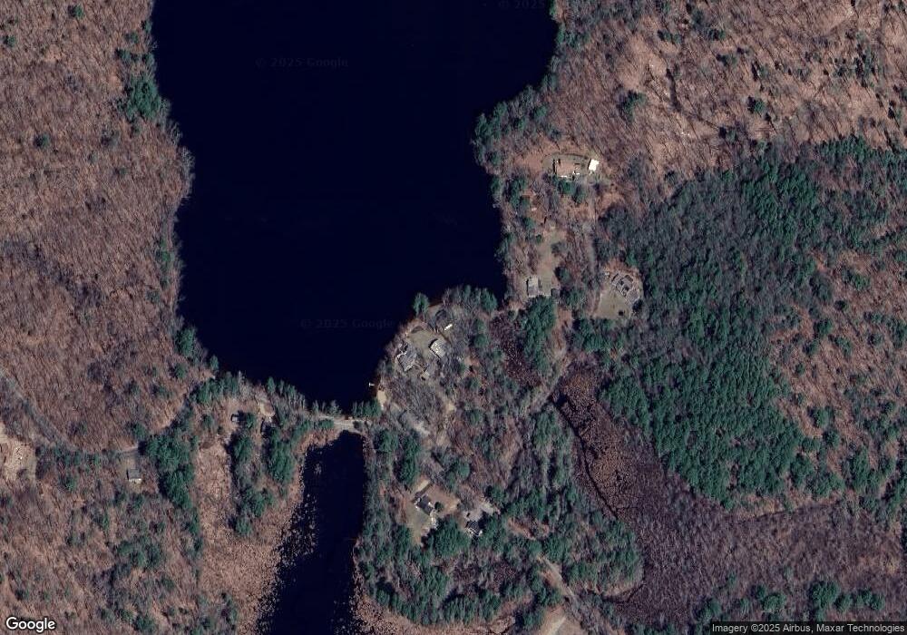
Map
Nearby Homes
- 196 N Spencer Rd
- 47 Lakeshore Dr
- 18 Shore Dr
- 21 Wildbrook Dr
- 17 Shore Dr
- 18 B N Spencer Rd
- 4 Black Hill Rd
- 111 Northwest Rd
- 252 Pleasantdale Rd
- 13 Washburn Terrace
- 230 West St
- 11 Brigham Rd
- LOT 8 Pierre Cir
- 64 Prospect St
- 140 Paxton Rd
- 19 Keep Ave
- 130 Paxton Rd
- 108 Paxton Rd
- 76 N Brookfield Rd
- 43 Lambs Grove
- 66 Browning Pond Rd
- 68 Browning Pond Rd
- 58 Browning Pond Rd
- 70 Browning Pond Rd
- 56 Browning Pond Cir
- 54 Browning Pond Cir
- 52 Browning Pond Cir
- 46 Browning Pond Cir
- 0 Browning Pond Rd
- 61 Browning Pond Rd
- 50 Browning Pond Cir
- 50 Browning Pond Cir Unit A
- 57 Browning Pond Rd
- 75 Browning Pond Rd
- 33 Browning Pond Rd
- 79 Browning Pond Rd
- 31 Browning Pond Rd
- 29 Browning Pond Rd
- 25 Browning Pond Rd
- 83 Browning Pond Rd