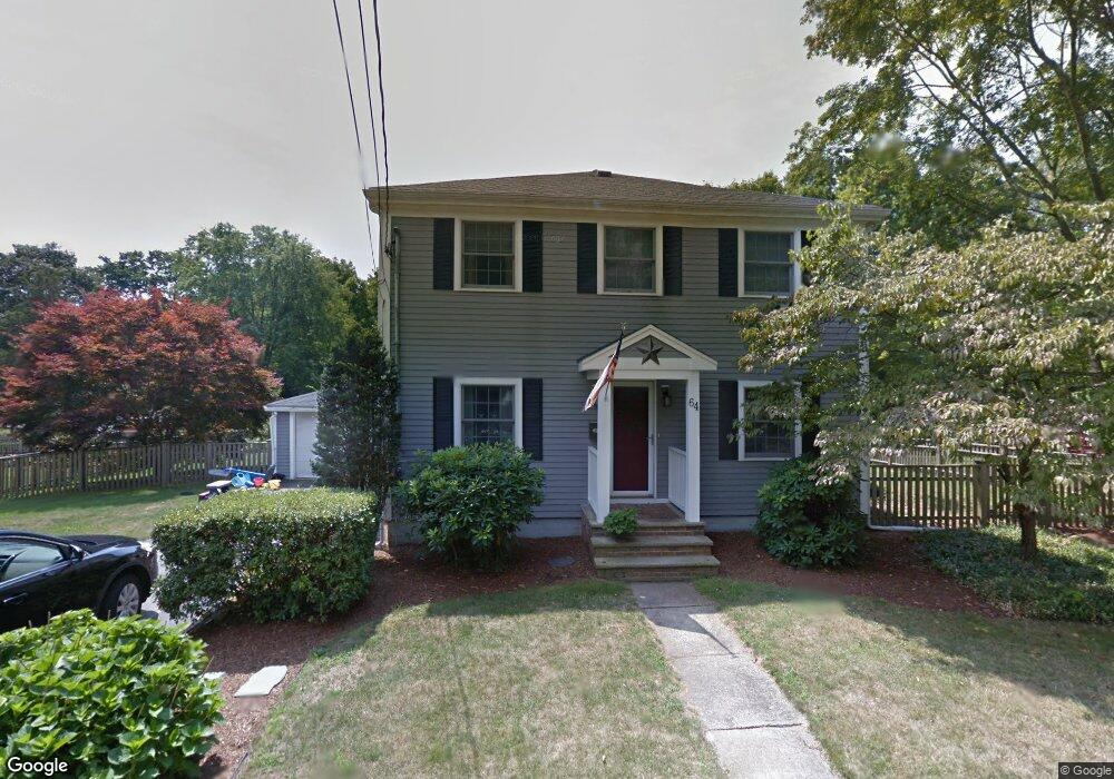
64 Campbell St Mansfield, MA 02048
Estimated Value: $456,000 - $798,000
3
Beds
3
Baths
2,400
Sq Ft
$280/Sq Ft
Est. Value
About This Home
This home is located at 64 Campbell St, Mansfield, MA 02048 and is currently estimated at $671,106, approximately $279 per square foot. 64 Campbell St is a home located in Bristol County with nearby schools including Everett W. Robinson Elementary School, Jordan/Jackson Elementary School, and Harold L. Qualters Middle School.
Ownership History
Date
Name
Owned For
Owner Type
Purchase Details
Closed on
Jul 27, 2001
Sold by
Meikle Gregory B
Bought by
Keefe Matthew T and Keefe Christine H
Current Estimated Value
Home Financials for this Owner
Home Financials are based on the most recent Mortgage that was taken out on this home.
Original Mortgage
$190,000
Interest Rate
7.18%
Mortgage Type
Purchase Money Mortgage
Purchase Details
Closed on
Apr 29, 1999
Sold by
Prohodsky Olive M
Bought by
Meikle Gregory B
Create a Home Valuation Report for This Property
The Home Valuation Report is an in-depth analysis detailing your home's value as well as a comparison with similar homes in the area
Home Values in the Area
Average Home Value in this Area
Purchase History
| Date | Buyer | Sale Price | Title Company |
|---|---|---|---|
| Keefe Matthew T | $216,000 | -- | |
| Meikle Gregory B | $168,000 | -- |
Source: Public Records
Mortgage History
| Date | Status | Borrower | Loan Amount |
|---|---|---|---|
| Open | Meikle Gregory B | $256,000 | |
| Closed | Meikle Gregory B | $258,000 | |
| Closed | Meikle Gregory B | $190,000 | |
| Closed | Meikle Gregory B | $190,000 |
Source: Public Records
Tax History Compared to Growth
Tax History
| Year | Tax Paid | Tax Assessment Tax Assessment Total Assessment is a certain percentage of the fair market value that is determined by local assessors to be the total taxable value of land and additions on the property. | Land | Improvement |
|---|---|---|---|---|
| 2025 | $8,250 | $626,400 | $224,900 | $401,500 |
| 2024 | $7,992 | $592,000 | $224,900 | $367,100 |
| 2023 | $7,685 | $545,400 | $224,900 | $320,500 |
| 2022 | $7,367 | $485,600 | $208,200 | $277,400 |
| 2021 | $5,269 | $466,300 | $182,200 | $284,100 |
| 2020 | $6,912 | $450,000 | $173,500 | $276,500 |
| 2019 | $6,447 | $423,600 | $144,600 | $279,000 |
| 2018 | $4,675 | $411,800 | $137,800 | $274,000 |
| 2017 | $6,013 | $400,300 | $133,800 | $266,500 |
| 2016 | $5,806 | $376,800 | $127,400 | $249,400 |
| 2015 | $5,642 | $364,000 | $127,400 | $236,600 |
Source: Public Records
Map
Nearby Homes
- 450 West St
- 150 Rumford Ave Unit 222
- 241-243 N Main St
- 22 Pleasant St Unit B
- 22 Pleasant St Unit A
- 28 Court St
- 28 Court St Unit 4
- 38 Court St
- 16 East St Unit 2
- 21 East St Unit 1D
- 132 S High St
- 72 Court St Unit B
- 76 Samoset Ave
- 99 Pleasant St
- 356 Central St
- 12 Wilson Place
- 28 Angell St
- 60 King St
- 82 Brook St
- 115 S High St
- 58 Campbell St
- 68 Campbell St
- 71 Campbell St
- 61 Campbell St
- 54 Campbell St
- 55 Campbell St
- 71 Fowler St Unit 73
- 73 Campbell St
- 67 Fowler St Unit 69
- 67 Fowler St Unit 69
- 67-69 Fowler St Unit 69
- 51 Campbell St
- 70 Fowler St
- 46 Henry St
- 41 Campbell St
- 52 Henry St
- 55 Fowler St
- 28 Henry St
- 28 Henry St Unit 1
- 311 West St