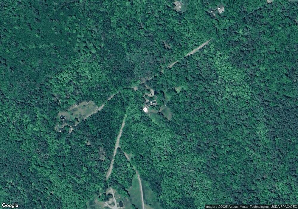
64 Cobb Rd Belfast, ME 04915
Estimated Value: $365,000 - $483,760
2
Beds
2
Baths
1,333
Sq Ft
$325/Sq Ft
Est. Value
About This Home
This home is located at 64 Cobb Rd, Belfast, ME 04915 and is currently estimated at $433,190, approximately $324 per square foot. 64 Cobb Rd is a home located in Waldo County with nearby schools including Cornerspring Children's House and The School At Sweetser - Belfast.
Ownership History
Date
Name
Owned For
Owner Type
Purchase Details
Closed on
Sep 22, 2020
Sold by
Jones Harold J and Jones Constance J
Bought by
Jones Larry J and Jones Sharon R
Current Estimated Value
Home Financials for this Owner
Home Financials are based on the most recent Mortgage that was taken out on this home.
Original Mortgage
$180,000
Outstanding Balance
$159,738
Interest Rate
2.9%
Mortgage Type
Stand Alone Refi Refinance Of Original Loan
Estimated Equity
$273,452
Create a Home Valuation Report for This Property
The Home Valuation Report is an in-depth analysis detailing your home's value as well as a comparison with similar homes in the area
Home Values in the Area
Average Home Value in this Area
Purchase History
| Date | Buyer | Sale Price | Title Company |
|---|---|---|---|
| Jones Larry J | -- | None Available | |
| Jones Larry J | -- | None Available |
Source: Public Records
Mortgage History
| Date | Status | Borrower | Loan Amount |
|---|---|---|---|
| Open | Jones Larry J | $180,000 | |
| Closed | Jones Larry J | $180,000 |
Source: Public Records
Tax History Compared to Growth
Tax History
| Year | Tax Paid | Tax Assessment Tax Assessment Total Assessment is a certain percentage of the fair market value that is determined by local assessors to be the total taxable value of land and additions on the property. | Land | Improvement |
|---|---|---|---|---|
| 2024 | $4,840 | $314,300 | $90,200 | $224,100 |
| 2023 | $4,368 | $217,300 | $74,100 | $143,200 |
| 2022 | $4,481 | $209,400 | $74,100 | $135,300 |
| 2021 | $4,607 | $209,400 | $74,100 | $135,300 |
| 2020 | $4,714 | $202,300 | $77,100 | $125,200 |
| 2019 | $4,278 | $186,800 | $62,100 | $124,700 |
| 2018 | $3,650 | $186,800 | $62,100 | $124,700 |
| 2017 | $4,091 | $186,800 | $62,100 | $124,700 |
| 2016 | $4,214 | $184,000 | $59,300 | $124,700 |
| 2015 | $4,122 | $184,000 | $59,300 | $124,700 |
| 2014 | $3,984 | $184,000 | $59,300 | $124,700 |
| 2013 | $3,827 | $184,000 | $59,300 | $124,700 |
Source: Public Records
Map
Nearby Homes
- 1145 Moosewood Ln
- 11 Bowling Green Ln
- 27 Bowling Green Ln
- 139 Prescott Hill Rd
- L 58 Part Horse Jockey Ln
- 5 Whitetail St
- 6 Whitetail St
- 7 Whitetail St
- Lot 26 Mariners Watch Rd
- 285 Northport Ave
- 5 Freedom Ln
- 21 Dream Ln
- 4 R W MacLeod Ln
- 13 R W MacLeod Ln
- 95 Bayside Rd
- 11 Tozier St
- 208 Congress St
- 173 Bog Rd
- 49 Bayside Rd
- 18 Bayside Dr
- 63 Cobb Rd
- 58 Cobb Rd
- 10 Groening Dr
- 5 Groening Dr
- 28 Wood Haven Way
- 32 Bowling Green Ln
- 24 Bowling Green Ln
- 291 Rocky Rd
- 35 Cobb Rd
- 00 Bowling Green Ln
- 220 Rocky Rd
- 20 Bowling Green Ln
- 1 Bowling Green Ln
- 11 Hunter Ln
- 10 Hunter Ln
- 48 Fox Hollow Ln
- 10 Bowling Green Ln
- 27 Cobb Rd
- 104 Prescott Hill Rd
- 8 Bowling Green Ln
