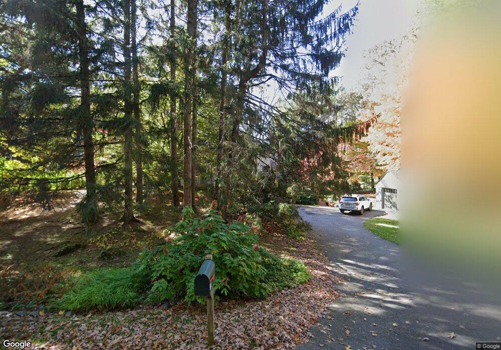
64 Coburn Rd Weston, MA 02493
Estimated Value: $1,492,689 - $1,966,000
4
Beds
2
Baths
2,220
Sq Ft
$772/Sq Ft
Est. Value
About This Home
This home is located at 64 Coburn Rd, Weston, MA 02493 and is currently estimated at $1,713,922, approximately $772 per square foot. 64 Coburn Rd is a home located in Middlesex County with nearby schools including Country Elementary School, Woodland Elementary School, and Field Elementary School.
Ownership History
Date
Name
Owned For
Owner Type
Purchase Details
Closed on
Oct 20, 2023
Sold by
Pepper Audrey and Oppenheimer Stephen
Bought by
Oppenheimer Pepper Ft and Pepper
Current Estimated Value
Purchase Details
Closed on
Jul 22, 1997
Sold by
Coburn Rd Rt and Minervino Eleanor S
Bought by
Pepper Audrey and Oppenheimer Stephen
Create a Home Valuation Report for This Property
The Home Valuation Report is an in-depth analysis detailing your home's value as well as a comparison with similar homes in the area
Home Values in the Area
Average Home Value in this Area
Purchase History
| Date | Buyer | Sale Price | Title Company |
|---|---|---|---|
| Oppenheimer Pepper Ft | -- | None Available | |
| Pepper Audrey | $576,700 | -- | |
| Pepper Audrey | $576,700 | -- |
Source: Public Records
Mortgage History
| Date | Status | Borrower | Loan Amount |
|---|---|---|---|
| Previous Owner | Pepper Audrey | $417,000 | |
| Previous Owner | Pepper Audrey | $16,600 | |
| Previous Owner | Pepper Audrey | $330,000 |
Source: Public Records
Tax History
| Year | Tax Paid | Tax Assessment Tax Assessment Total Assessment is a certain percentage of the fair market value that is determined by local assessors to be the total taxable value of land and additions on the property. | Land | Improvement |
|---|---|---|---|---|
| 2025 | $13,450 | $1,211,700 | $830,000 | $381,700 |
| 2024 | $13,291 | $1,195,200 | $830,000 | $365,200 |
| 2023 | $13,062 | $1,103,200 | $830,300 | $272,900 |
| 2022 | $12,953 | $1,011,200 | $780,800 | $230,400 |
| 2021 | $10,189 | $963,400 | $743,600 | $219,800 |
| 2020 | $12,147 | $946,800 | $743,600 | $203,200 |
| 2019 | $11,298 | $897,400 | $696,700 | $200,700 |
| 2018 | $11,226 | $897,400 | $696,700 | $200,700 |
| 2017 | $11,128 | $897,400 | $696,700 | $200,700 |
| 2016 | $10,912 | $897,400 | $696,700 | $200,700 |
| 2015 | $10,552 | $859,300 | $663,400 | $195,900 |
Source: Public Records
Map
Nearby Homes
Your Personal Tour Guide
Ask me questions while you tour the home.