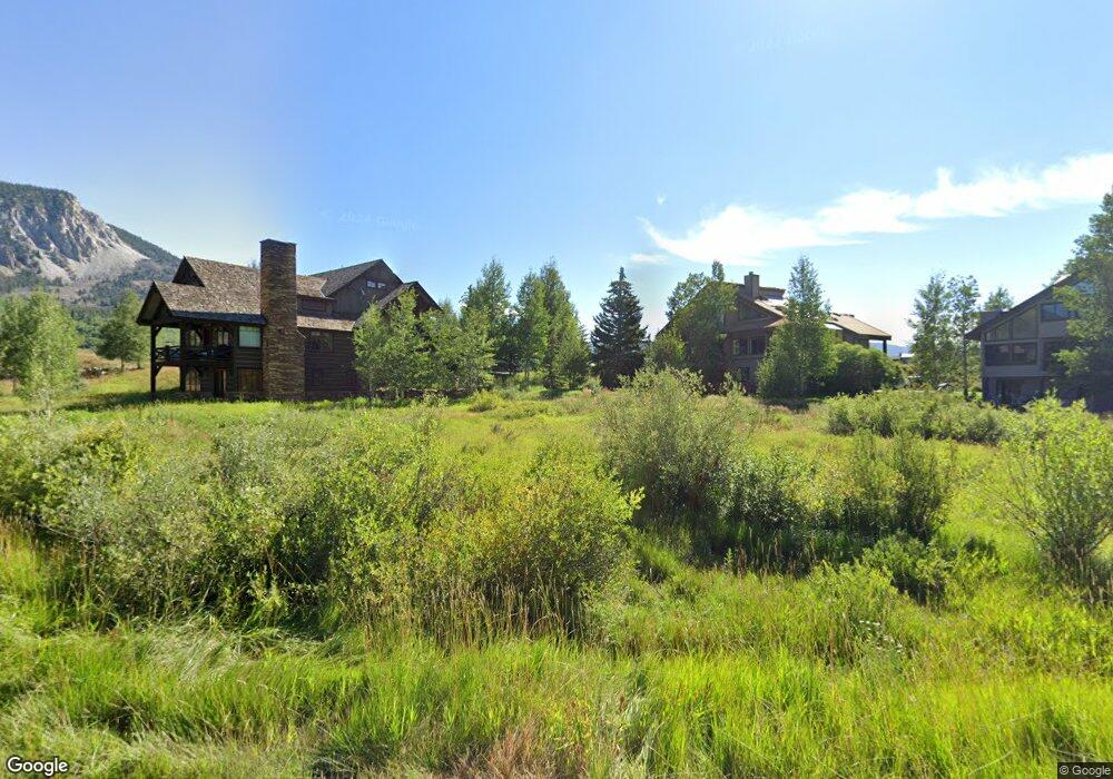
64 Coyote Cir Crested Butte, CO 81224
Estimated Value: $283,913
--
Bed
--
Bath
--
Sq Ft
0.44
Acres
About This Home
This home is located at 64 Coyote Cir, Crested Butte, CO 81224 and is currently estimated at $283,913. 64 Coyote Cir is a home located in Gunnison County with nearby schools including Gunnison Elementary School, Crested Butte Community School, and Gunnison Middle School.
Ownership History
Date
Name
Owned For
Owner Type
Purchase Details
Closed on
Dec 18, 2019
Sold by
Smith Elizabeth Bell and Smith Donald Lee
Bought by
Wetlands Owners Association
Current Estimated Value
Purchase Details
Closed on
Apr 21, 2017
Sold by
Huntington Land L L C
Bought by
Smith Elizabeth Bell and Smith Donald Lee
Home Financials for this Owner
Home Financials are based on the most recent Mortgage that was taken out on this home.
Original Mortgage
$72,100
Interest Rate
4.21%
Mortgage Type
Commercial
Purchase Details
Closed on
Jan 12, 2006
Sold by
Whetstone Builders Llc
Bought by
Huntington Land Llc
Purchase Details
Closed on
Aug 30, 2001
Sold by
Hoover Ronald Gary
Bought by
Whetstone Builders Llc
Purchase Details
Closed on
Mar 24, 2000
Sold by
Moore Terry
Bought by
Whetstone Builders Llc
Create a Home Valuation Report for This Property
The Home Valuation Report is an in-depth analysis detailing your home's value as well as a comparison with similar homes in the area
Home Values in the Area
Average Home Value in this Area
Purchase History
| Date | Buyer | Sale Price | Title Company |
|---|---|---|---|
| Wetlands Owners Association | $200,000 | Land Title Guaranty Company | |
| Smith Elizabeth Bell | $103,000 | Land Title Guarantee Co | |
| Huntington Land Llc | $247,500 | None Available | |
| Whetstone Builders Llc | $100,000 | -- | |
| Whetstone Builders Llc | $135,000 | -- |
Source: Public Records
Mortgage History
| Date | Status | Borrower | Loan Amount |
|---|---|---|---|
| Previous Owner | Smith Elizabeth Bell | $72,100 |
Source: Public Records
Tax History Compared to Growth
Tax History
| Year | Tax Paid | Tax Assessment Tax Assessment Total Assessment is a certain percentage of the fair market value that is determined by local assessors to be the total taxable value of land and additions on the property. | Land | Improvement |
|---|---|---|---|---|
| 2024 | $858 | $11,240 | $11,240 | $0 |
| 2023 | $858 | $11,240 | $11,240 | $0 |
| 2022 | $549 | $6,150 | $6,150 | $0 |
| 2021 | $491 | $6,150 | $6,150 | $0 |
| 2020 | $322 | $3,830 | $3,830 | $0 |
| 2019 | $3,178 | $38,280 | $38,280 | $0 |
| 2018 | $1,435 | $15,950 | $15,950 | $0 |
| 2017 | $1,444 | $15,950 | $15,950 | $0 |
Source: Public Records
Map
Nearby Homes
- 166 & 168 Coyote Cir
- 402 Eagle Ln
- 115 Larkspur Loop
- 64 Vista Ct
- 140 Alpine Ct
- 88 Vista Ct
- 262 Larkspur Loop
- 365 Larkspur Loop
- 429 Larkspur Loop
- 179 Aspen Ln
- 491 Slate River Dr
- 315 Par Ln
- 38 Slate Ln
- 350 Country Club Dr Unit 217A
- 350 Country Club Dr Unit 218A
- 350 Country Club Dr Unit 402A
- 17 Short Dr
- 322 Wapiti
- 168 W Silver Sage Dr
- 376 Wapiti Ln
- 34 Coyote Cir
- 49 Powderview Dr Unit 5 Powderview To
- 49 Powderview Dr
- 35 Powderview Dr Unit 4
- 7 Powderview Dr
- 89 Coyote Cir
- 89 Coyote Cir Unit 10B
- 87 Coyote Cir
- 94 Coyote Cir
- 94 Coyote Cir
- 0 Powderview Dr Unit 3 Powderview at
- 0 Powderview Dr Unit 5 Powderview To
- 0 Powderview Dr Unit 6 | Powderview
- 0 Powderview Dr Unit 11555
- 0 Powderview Dr Unit Townhome C2 13966
- 0 Powderview Dr
- 96 Coyote Cir
- 84 Powderview Dr
- 175 Coyote Cir
- 98 Powderview Dr