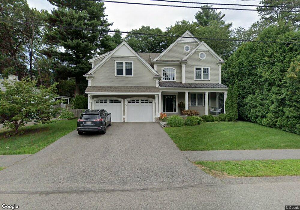
64 Dartmouth Ave Needham Heights, MA 02494
Estimated Value: $2,462,000 - $2,968,000
5
Beds
6
Baths
2,070
Sq Ft
$1,265/Sq Ft
Est. Value
About This Home
This home is located at 64 Dartmouth Ave, Needham Heights, MA 02494 and is currently estimated at $2,619,009, approximately $1,265 per square foot. 64 Dartmouth Ave is a home with nearby schools including Mitchell Elementary School, High Rock Middle School, and Pollard Middle School.
Ownership History
Date
Name
Owned For
Owner Type
Purchase Details
Closed on
May 22, 2009
Sold by
Feeney Leona D and Schaller Colleen F
Bought by
Guttilla Nicholas J and Guttilla Carolyn C
Current Estimated Value
Home Financials for this Owner
Home Financials are based on the most recent Mortgage that was taken out on this home.
Original Mortgage
$1,020,000
Interest Rate
4.93%
Mortgage Type
Purchase Money Mortgage
Create a Home Valuation Report for This Property
The Home Valuation Report is an in-depth analysis detailing your home's value as well as a comparison with similar homes in the area
Home Values in the Area
Average Home Value in this Area
Purchase History
| Date | Buyer | Sale Price | Title Company |
|---|---|---|---|
| Guttilla Nicholas J | $535,000 | -- | |
| Guttilla Nicholas J | $535,000 | -- |
Source: Public Records
Mortgage History
| Date | Status | Borrower | Loan Amount |
|---|---|---|---|
| Open | Guttilla Nicholas J | $990,000 | |
| Closed | Guttilla Nicholas J | $1,020,000 |
Source: Public Records
Tax History Compared to Growth
Tax History
| Year | Tax Paid | Tax Assessment Tax Assessment Total Assessment is a certain percentage of the fair market value that is determined by local assessors to be the total taxable value of land and additions on the property. | Land | Improvement |
|---|---|---|---|---|
| 2025 | $25,540 | $2,409,400 | $776,200 | $1,633,200 |
| 2024 | $23,319 | $1,862,500 | $554,400 | $1,308,100 |
| 2023 | $22,789 | $1,747,600 | $554,400 | $1,193,200 |
| 2022 | $21,754 | $1,627,100 | $486,600 | $1,140,500 |
| 2021 | $21,201 | $1,627,100 | $486,600 | $1,140,500 |
| 2020 | $20,159 | $1,614,000 | $486,600 | $1,127,400 |
| 2019 | $19,276 | $1,555,800 | $442,600 | $1,113,200 |
| 2018 | $18,483 | $1,555,800 | $442,600 | $1,113,200 |
| 2017 | $16,777 | $1,411,000 | $442,600 | $968,400 |
| 2016 | $16,283 | $1,411,000 | $442,600 | $968,400 |
| 2015 | $15,930 | $1,411,000 | $442,600 | $968,400 |
| 2014 | $15,414 | $1,324,200 | $402,600 | $921,600 |
Source: Public Records
Map
Nearby Homes
- 556 Webster St
- 23 Cheney St
- 9 Jayne Rd
- 143 Hunting Rd
- 62 Washington Ave
- 39 Mark Lee Rd
- 40 Otis St Unit L
- 36 Davenport Rd
- 42 Otis St Unit R
- 445 Hillside Ave
- 3 Crescent Rd
- 8 Wilshire Park
- 100 Rosemary Way Unit 129
- 100 Rosemary Way Unit 324
- 400 Hunnewell St Unit 103
- 26 Pinewood Rd
- 379 Hunnewell St Unit 379
- 7 Avery St
- 154 Warren St
- 193 Garden St
- 58 Dartmouth Ave
- 51 Lindbergh Ave
- 67 Dartmouth Ave
- 167 Tower Ave
- 48 Dartmouth Ave
- 41 Lindbergh Ave
- 59 Dartmouth Ave
- 159 Tower Ave
- 53 Dartmouth Ave
- 71 Lindbergh Ave
- 56 Lindbergh Ave
- 44 Dartmouth Ave
- 52 Lindbergh Ave
- 47 Dartmouth Ave
- 153 Tower Ave
- 44 Lindbergh Ave
- LOT 44 Lindbergh Ave
- 44 Lindbergh Ave
- 77 Lindbergh Ave
- 180 Tower Ave