64 Dings Rd New Hartford, CT 06057
Estimated Value: $391,000 - $550,000
2
Beds
3
Baths
1,453
Sq Ft
$329/Sq Ft
Est. Value
About This Home
This home is located at 64 Dings Rd, New Hartford, CT 06057 and is currently estimated at $477,794, approximately $328 per square foot. 64 Dings Rd is a home located in Litchfield County with nearby schools including Ann Antolini School, Northwestern Regional Middle School, and Northwestern Regional High School.
Ownership History
Date
Name
Owned For
Owner Type
Purchase Details
Closed on
Jun 30, 1993
Sold by
Herig Paul G
Bought by
Theriault Mark A
Current Estimated Value
Home Financials for this Owner
Home Financials are based on the most recent Mortgage that was taken out on this home.
Original Mortgage
$202,200
Interest Rate
6.75%
Mortgage Type
Unknown
Create a Home Valuation Report for This Property
The Home Valuation Report is an in-depth analysis detailing your home's value as well as a comparison with similar homes in the area
Home Values in the Area
Average Home Value in this Area
Purchase History
| Date | Buyer | Sale Price | Title Company |
|---|---|---|---|
| Theriault Mark A | $254,000 | -- |
Source: Public Records
Mortgage History
| Date | Status | Borrower | Loan Amount |
|---|---|---|---|
| Closed | Theriault Mark A | $202,200 |
Source: Public Records
Tax History Compared to Growth
Tax History
| Year | Tax Paid | Tax Assessment Tax Assessment Total Assessment is a certain percentage of the fair market value that is determined by local assessors to be the total taxable value of land and additions on the property. | Land | Improvement |
|---|---|---|---|---|
| 2025 | $8,259 | $298,480 | $123,480 | $175,000 |
| 2024 | $7,862 | $298,480 | $123,480 | $175,000 |
| 2023 | $8,061 | $251,370 | $123,060 | $128,310 |
| 2022 | $7,933 | $251,370 | $123,060 | $128,310 |
| 2021 | $7,963 | $251,370 | $123,060 | $128,310 |
| 2020 | $7,850 | $251,370 | $123,060 | $128,310 |
| 2019 | $7,755 | $251,370 | $123,060 | $128,310 |
| 2018 | $7,700 | $245,840 | $122,640 | $123,200 |
| 2017 | $7,454 | $245,840 | $122,640 | $123,200 |
| 2016 | $7,405 | $245,840 | $122,640 | $123,200 |
| 2015 | $7,410 | $245,840 | $122,640 | $123,200 |
| 2014 | $6,952 | $245,840 | $122,640 | $123,200 |
Source: Public Records
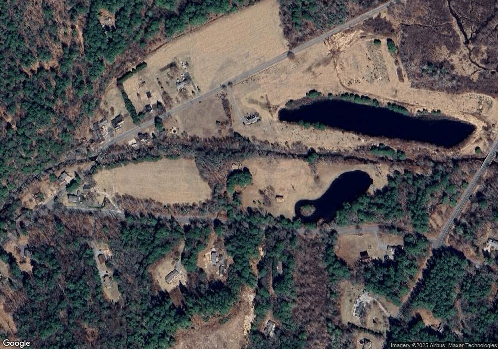
Map
Nearby Homes
- 71 Wickett St
- 595 Town Hill Rd
- 295 Stub Hollow Rd
- 6 Windsor Ln
- 70 Lair Rd
- 555 Town Hill Rd
- 22B Hoppen Rd
- 37 Hidden Hill Rd
- 208 South Rd
- 22A Hoppen Rd
- 290 Gillette Rd
- 302 Gillette Rd
- 57 Henderson Rd
- 1480 Litchfield Turnpike
- 480 W Hill Rd
- 408 A Niles Rd
- 138 Harrison Rd
- 67 Wysteria Ct
- 66 Harrison Rd
- 38 Auburn Way
- 210 Maple Hollow Rd
- 33 Dings Rd
- 166 Maple Hollow Rd
- 193 Maple Hollow Rd
- 57 Dings Rd
- 25 Dings Rd
- 161 Maple Hollow Rd
- 151 Maple Hollow Rd
- 53 Dings Rd
- 13 Dings Rd
- 885 Town Hill Rd
- 79 Dings Rd
- 145 Maple Hollow Rd
- 153 Maple Hollow Rd
- 133 Maple Hollow Rd
- 895 Town Hill Rd
- 130 Maple Hollow Rd
- 57 Country Ln
- 149 Maple Hollow Rd
- 116 Maple Hollow Rd