64 E 1st St Burnside, PA 15721
Estimated Value: $42,000 - $147,000
Studio
--
Bath
--
Sq Ft
12,632
Sq Ft Lot
About This Home
This home is located at 64 E 1st St, Burnside, PA 15721 and is currently estimated at $110,059. 64 E 1st St is a home with nearby schools including Purchase Line Elementary School and Purchase Line Junior/Senior High School.
Ownership History
Date
Name
Owned For
Owner Type
Purchase Details
Closed on
Jul 19, 2024
Sold by
Tax Claim Bureau Of Clearfield County Pe
Bought by
Garber Rose and Garber Eugene
Current Estimated Value
Purchase Details
Closed on
Mar 6, 2010
Sold by
Greene Carson and Greene Rosalind
Bought by
Greene Carson and Greene Rosalind
Home Financials for this Owner
Home Financials are based on the most recent Mortgage that was taken out on this home.
Original Mortgage
$67,700
Interest Rate
5.05%
Mortgage Type
New Conventional
Purchase Details
Closed on
Jan 8, 2007
Sold by
Dee Roger W and Dee Colleen
Bought by
Greene Arson
Create a Home Valuation Report for This Property
The Home Valuation Report is an in-depth analysis detailing your home's value as well as a comparison with similar homes in the area
Purchase History
| Date | Buyer | Sale Price | Title Company |
|---|---|---|---|
| Garber Rose | $5,000 | None Listed On Document | |
| Greene Carson | -- | None Available | |
| Greene Arson | $69,900 | None Available |
Source: Public Records
Mortgage History
| Date | Status | Borrower | Loan Amount |
|---|---|---|---|
| Previous Owner | Greene Carson | $67,700 |
Source: Public Records
Tax History
| Year | Tax Paid | Tax Assessment Tax Assessment Total Assessment is a certain percentage of the fair market value that is determined by local assessors to be the total taxable value of land and additions on the property. | Land | Improvement |
|---|---|---|---|---|
| 2025 | $1,989 | $30,450 | $1,450 | $29,000 |
| 2024 | $381 | $15,225 | $725 | $14,500 |
| 2023 | $1,768 | $15,225 | $725 | $14,500 |
| 2022 | $1,680 | $15,225 | $725 | $14,500 |
| 2021 | $1,643 | $15,225 | $725 | $14,500 |
| 2020 | $1,643 | $15,225 | $725 | $14,500 |
| 2019 | $1,648 | $15,225 | $725 | $14,500 |
| 2018 | $1,543 | $15,225 | $725 | $14,500 |
| 2017 | $1,596 | $15,225 | $725 | $14,500 |
| 2016 | -- | $15,225 | $725 | $14,500 |
| 2015 | -- | $15,225 | $725 | $14,500 |
| 2014 | -- | $15,225 | $725 | $14,500 |
Source: Public Records
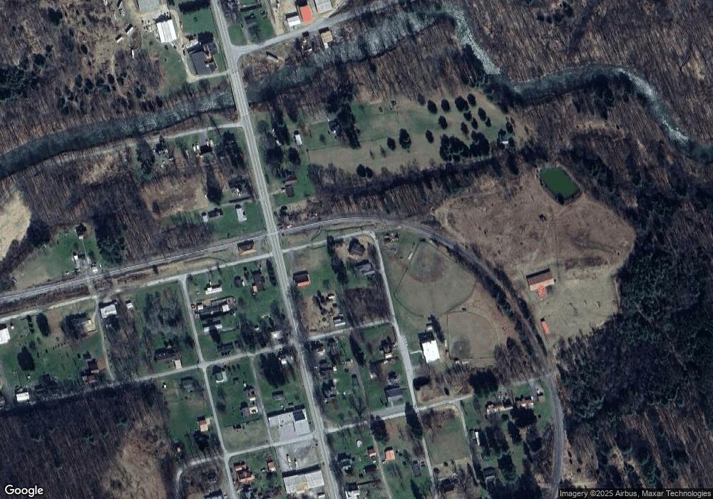
Map
Nearby Homes
- 6861 Main St
- 68 Maple St
- 83 Ankney Ln
- 7157 Ridge Rd
- 1527 Deer Run Rd
- 189 Josh Dr
- 00 Glen Campbell Rd
- 1448 Patchin Hwy
- 0 Owens Rd
- 222 E Main St
- 0 Pennsylvania 36
- 161.22 Acres Mahaffey Grampian Hwy
- 327.9 Acres Mahaffey Grampian Hwy
- 166.68 Acres Mahaffey Grampian Hwy
- 709 Westover Rd
- 1311 Westover Rd
- 19425 Pennsylvania 286
- 0 Wilgus Rd Unit 1738436
- 19189 Rte 286 Hwy E
- 121 N Main St
Your Personal Tour Guide
Ask me questions while you tour the home.