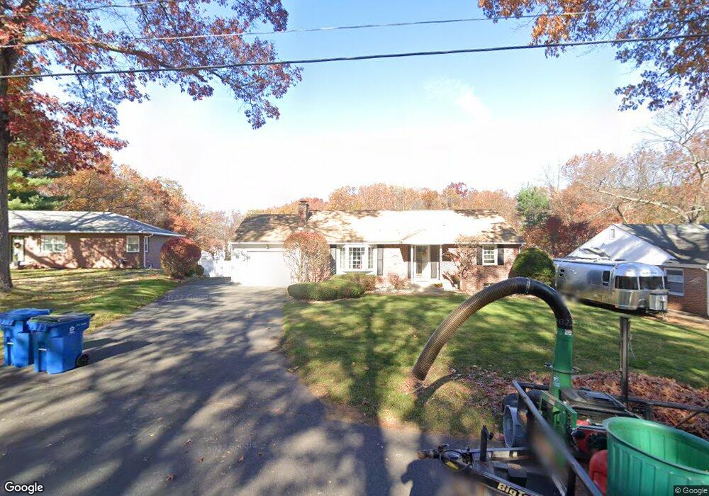
64 E Gooseberry Rd West Springfield, MA 01089
Estimated Value: $375,800 - $443,000
3
Beds
2
Baths
1,296
Sq Ft
$309/Sq Ft
Est. Value
About This Home
This home is located at 64 E Gooseberry Rd, West Springfield, MA 01089 and is currently estimated at $399,950, approximately $308 per square foot. 64 E Gooseberry Rd is a home located in Hampden County with nearby schools including West Springfield High School, Hampden Charter School of Science West, and St Thomas The Apostle School.
Ownership History
Date
Name
Owned For
Owner Type
Purchase Details
Closed on
Jan 25, 1999
Sold by
Brosseau David J and Brosseau Kristan
Bought by
Miller Michael J and Miller Susan H
Current Estimated Value
Home Financials for this Owner
Home Financials are based on the most recent Mortgage that was taken out on this home.
Original Mortgage
$129,600
Outstanding Balance
$30,570
Interest Rate
6.7%
Mortgage Type
Purchase Money Mortgage
Estimated Equity
$369,380
Purchase Details
Closed on
Mar 29, 1989
Sold by
Nadeau Roger F
Bought by
Brosseau David J
Home Financials for this Owner
Home Financials are based on the most recent Mortgage that was taken out on this home.
Original Mortgage
$134,400
Interest Rate
10.63%
Mortgage Type
Purchase Money Mortgage
Create a Home Valuation Report for This Property
The Home Valuation Report is an in-depth analysis detailing your home's value as well as a comparison with similar homes in the area
Home Values in the Area
Average Home Value in this Area
Purchase History
| Date | Buyer | Sale Price | Title Company |
|---|---|---|---|
| Miller Michael J | $162,000 | -- | |
| Brosseau David J | $168,000 | -- |
Source: Public Records
Mortgage History
| Date | Status | Borrower | Loan Amount |
|---|---|---|---|
| Open | Brosseau David J | $129,600 | |
| Previous Owner | Brosseau David J | $134,500 | |
| Previous Owner | Brosseau David J | $139,530 | |
| Previous Owner | Brosseau David J | $134,400 |
Source: Public Records
Tax History
| Year | Tax Paid | Tax Assessment Tax Assessment Total Assessment is a certain percentage of the fair market value that is determined by local assessors to be the total taxable value of land and additions on the property. | Land | Improvement |
|---|---|---|---|---|
| 2025 | $5,438 | $365,700 | $125,600 | $240,100 |
| 2024 | $5,363 | $362,100 | $125,600 | $236,500 |
| 2023 | $5,013 | $322,600 | $125,600 | $197,000 |
| 2022 | $4,544 | $288,300 | $113,800 | $174,500 |
| 2021 | $4,377 | $259,000 | $105,900 | $153,100 |
| 2020 | $4,310 | $253,700 | $105,900 | $147,800 |
| 2019 | $4,303 | $253,700 | $105,900 | $147,800 |
| 2018 | $4,326 | $253,700 | $105,900 | $147,800 |
| 2017 | $4,326 | $253,700 | $105,900 | $147,800 |
| 2016 | $4,304 | $253,300 | $101,900 | $151,400 |
| 2015 | $4,219 | $248,300 | $99,800 | $148,500 |
| 2014 | $1,025 | $248,300 | $99,800 | $148,500 |
Source: Public Records
Map
Nearby Homes
- 72 E Gooseberry Rd
- 56 E Gooseberry Rd
- 25 Sagamore Rd
- 39 Sagamore Rd
- 82 E Gooseberry Rd
- 50 E Gooseberry Rd
- 15 Sagamore Rd
- 361 Massachusetts Ave
- 69 E Gooseberry Rd
- 61 E Gooseberry Rd
- 357 Massachusetts Ave
- 365 Massachusetts Ave
- 92 E Gooseberry Rd
- 81 E Gooseberry Rd
- 91 E Gooseberry Rd
- 49 E Gooseberry Rd
- 375 Massachusetts Ave
- 349 Massachusetts Ave
- 34 Sagamore Rd
- 26 Sagamore Rd
Your Personal Tour Guide
Ask me questions while you tour the home.