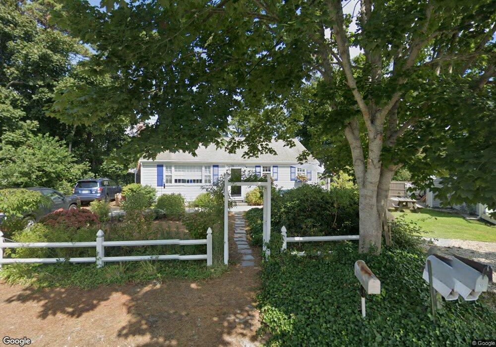
64 Easy St Dennis Port, MA 02639
Dennis Port NeighborhoodEstimated Value: $561,000 - $650,775
2
Beds
1
Bath
1,139
Sq Ft
$543/Sq Ft
Est. Value
About This Home
This home is located at 64 Easy St, Dennis Port, MA 02639 and is currently estimated at $618,944, approximately $543 per square foot. 64 Easy St is a home located in Barnstable County with nearby schools including Dennis-Yarmouth Regional High School and St. Pius X. School.
Ownership History
Date
Name
Owned For
Owner Type
Purchase Details
Closed on
Sep 10, 2024
Sold by
Mennucci Michele A and Glatter Myles R
Bought by
Myler R Glatter Lt and Glatter
Current Estimated Value
Purchase Details
Closed on
Jul 16, 2013
Sold by
Mennucci Angelina M and Mennucci Michele
Bought by
Mennucci Michele A and Mennucci Myles R
Create a Home Valuation Report for This Property
The Home Valuation Report is an in-depth analysis detailing your home's value as well as a comparison with similar homes in the area
Home Values in the Area
Average Home Value in this Area
Purchase History
| Date | Buyer | Sale Price | Title Company |
|---|---|---|---|
| Myler R Glatter Lt | -- | None Available | |
| Myler R Glatter Lt | -- | None Available | |
| Mennucci Michele A | -- | -- | |
| Mennucci Michele A | -- | -- | |
| Mennucci Michele A | -- | -- |
Source: Public Records
Tax History Compared to Growth
Tax History
| Year | Tax Paid | Tax Assessment Tax Assessment Total Assessment is a certain percentage of the fair market value that is determined by local assessors to be the total taxable value of land and additions on the property. | Land | Improvement |
|---|---|---|---|---|
| 2025 | $2,407 | $556,000 | $200,500 | $355,500 |
| 2024 | $2,273 | $517,800 | $192,800 | $325,000 |
| 2023 | $2,222 | $475,900 | $175,300 | $300,600 |
| 2022 | $2,136 | $381,500 | $157,900 | $223,600 |
| 2021 | $2,187 | $362,700 | $176,900 | $185,800 |
| 2020 | $1,973 | $323,400 | $154,800 | $168,600 |
| 2019 | $1,876 | $304,000 | $151,800 | $152,200 |
| 2018 | $1,795 | $283,100 | $144,500 | $138,600 |
| 2017 | $1,650 | $268,300 | $134,100 | $134,200 |
| 2016 | $1,676 | $256,600 | $144,500 | $112,100 |
| 2015 | $1,642 | $256,600 | $144,500 | $112,100 |
| 2014 | $1,498 | $235,900 | $123,800 | $112,100 |
Source: Public Records
Map
Nearby Homes
- 31 Easy St
- 37 Beach Hills Rd
- 22 Wixon Rd
- 37-A Beach Hills Rd
- 22 Ferncliff Rd
- 262 Old Wharf Rd Unit 67
- 262 Old Wharf Rd Unit 5
- 262 Old Wharf Rd Unit 5
- 262 Old Wharf Rd Unit 20
- 262 Old Wharf Rd Unit 87
- 241 Old Wharf Rd Unit 82
- 241 Old Wharf Rd Unit 127
- 241 Old Wharf Rd Unit 90
- 80 Michaels Ave
- 217 Old Wharf Rd Unit 64
- 19 Standish Way
- 64 Beaten Rd
- 154 Old Wharf Rd Unit 26
- 154 Old Wharf Rd Unit 14
- 37 Ocean Dr Unit 2