64 Field Rock Rd Bristol, CT 06010
Forestville NeighborhoodEstimated Value: $571,000 - $785,000
4
Beds
3
Baths
3,017
Sq Ft
$228/Sq Ft
Est. Value
About This Home
This home is located at 64 Field Rock Rd, Bristol, CT 06010 and is currently estimated at $688,561, approximately $228 per square foot. 64 Field Rock Rd is a home with nearby schools including Bristol Central High School, Great Beginnings, and St Matthew School.
Ownership History
Date
Name
Owned For
Owner Type
Purchase Details
Closed on
Jun 21, 2023
Sold by
Carrier Construction Inc
Bought by
Carrier Ryan and Carrier Allyson M
Current Estimated Value
Home Financials for this Owner
Home Financials are based on the most recent Mortgage that was taken out on this home.
Original Mortgage
$378,000
Outstanding Balance
$367,005
Interest Rate
6.35%
Mortgage Type
Purchase Money Mortgage
Estimated Equity
$321,556
Create a Home Valuation Report for This Property
The Home Valuation Report is an in-depth analysis detailing your home's value as well as a comparison with similar homes in the area
Home Values in the Area
Average Home Value in this Area
Purchase History
| Date | Buyer | Sale Price | Title Company |
|---|---|---|---|
| Carrier Ryan | $420,000 | None Available |
Source: Public Records
Mortgage History
| Date | Status | Borrower | Loan Amount |
|---|---|---|---|
| Open | Carrier Ryan | $378,000 |
Source: Public Records
Tax History Compared to Growth
Tax History
| Year | Tax Paid | Tax Assessment Tax Assessment Total Assessment is a certain percentage of the fair market value that is determined by local assessors to be the total taxable value of land and additions on the property. | Land | Improvement |
|---|---|---|---|---|
| 2025 | $13,790 | $408,590 | $85,190 | $323,400 |
| 2024 | $11,386 | $357,490 | $34,090 | $323,400 |
| 2023 | $3,890 | $128,170 | $34,090 | $94,080 |
| 2022 | $991 | $25,830 | $25,830 | $0 |
| 2021 | $991 | $25,830 | $25,830 | $0 |
| 2020 | $991 | $25,830 | $25,830 | $0 |
| 2019 | $983 | $25,830 | $25,830 | $0 |
| 2018 | $953 | $25,830 | $25,830 | $0 |
| 2017 | $1,329 | $36,890 | $36,890 | $0 |
| 2016 | $1,329 | $36,890 | $36,890 | $0 |
| 2015 | $1,277 | $36,890 | $36,890 | $0 |
| 2014 | $1,277 | $36,890 | $36,890 | $0 |
Source: Public Records
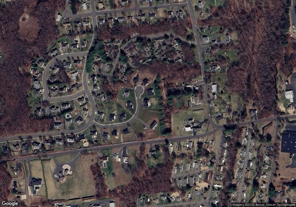
Map
Nearby Homes
- 189 Redstone Hill Rd Unit 7
- 16 Brookside Dr
- 581 Village St
- 595 Village St
- 27 Brookside Dr
- 603 Village St
- 575 Village St
- 568 Village St
- 519 Village St
- 25 Zack Ln
- 26 Skyline Dr
- 132 Hollyberry Ln
- 452 East St
- 180 S Washington St Unit 12
- 429 Redstone Hill Rd
- 1985 West St Unit 11
- 1985 West St Unit 9
- 7 Meadow Rd
- 138 Butler Ave
- 309 East St Unit 10
- 85 Field Rock Rd
- 25 Field Rock Rd
- 108 Field Rock Rd
- 50 Field Rock Rd
- 75 Field Rock Rd
- 41 Field Rock Rd
- 460 Village St
- 23 Chimney Crest Ln
- 61 Field Rock Rd
- 74 Field Rock Rd
- 111 Field Rock Rd
- 120 Field Rock Rd
- 121 Field Rock Rd
- 203 Redstone Hill Rd
- 199 Red Stone Hill
- 197 Red Stone Hill
- 195 Red Stone Hill
- 11 Town Line Rd
- 325 Village St