Estimated Value: $229,000 - $248,000
4
Beds
1
Bath
1,637
Sq Ft
$146/Sq Ft
Est. Value
About This Home
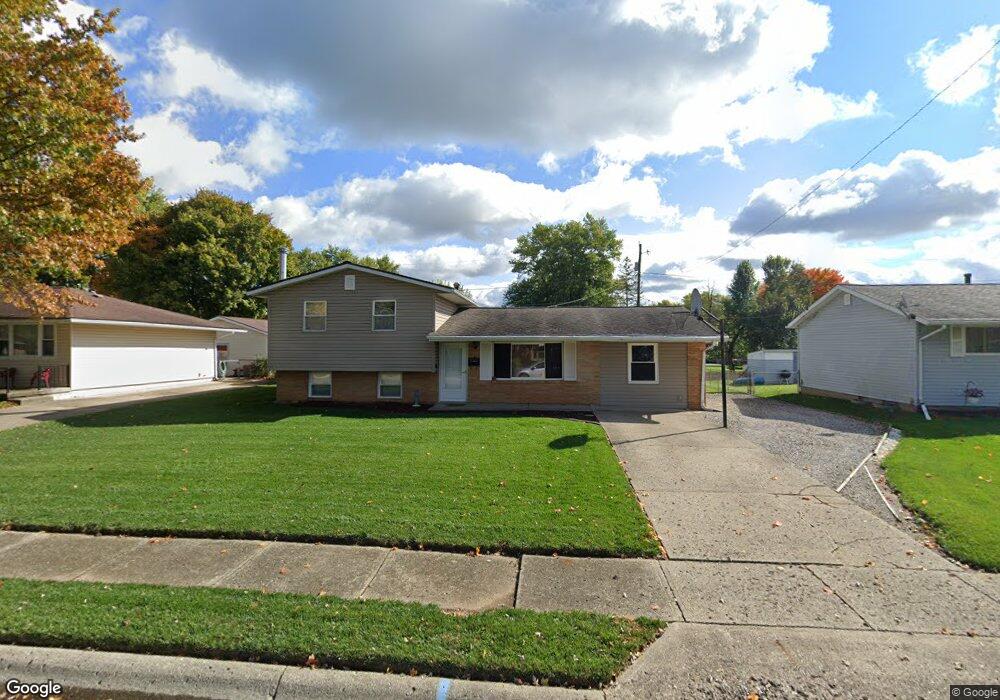
This home is located at 64 Fieldpoint Rd, Heath, OH 43056 and is currently estimated at $238,247, approximately $145 per square foot. 64 Fieldpoint Rd is a home located in Licking County with nearby schools including Garfield Elementary School, Stevenson Elementary School, and Heath Middle School.
Ownership History
Date
Name
Owned For
Owner Type
Purchase Details
Closed on
Nov 19, 2018
Sold by
Sullivan Jarrod S and Sullivan Dianne M
Bought by
Sullivan Jarrod S
Current Estimated Value
Home Financials for this Owner
Home Financials are based on the most recent Mortgage that was taken out on this home.
Original Mortgage
$111,111
Interest Rate
4.87%
Mortgage Type
FHA
Purchase Details
Closed on
Jul 9, 2010
Sold by
Sullivan Jarred S and Sullivan Dianne M
Bought by
Sullivan Jarrod S and Sullivan Dianne M
Create a Home Valuation Report for This Property
The Home Valuation Report is an in-depth analysis detailing your home's value as well as a comparison with similar homes in the area
Home Values in the Area
Average Home Value in this Area
Purchase History
| Date | Buyer | Sale Price | Title Company |
|---|---|---|---|
| Sullivan Jarrod S | -- | First Ohio Title Insurance B | |
| Sullivan Jarrod S | -- | Attorney |
Source: Public Records
Mortgage History
| Date | Status | Borrower | Loan Amount |
|---|---|---|---|
| Closed | Sullivan Jarrod S | $111,111 |
Source: Public Records
Tax History
| Year | Tax Paid | Tax Assessment Tax Assessment Total Assessment is a certain percentage of the fair market value that is determined by local assessors to be the total taxable value of land and additions on the property. | Land | Improvement |
|---|---|---|---|---|
| 2024 | $2,701 | $62,760 | $17,290 | $45,470 |
| 2023 | $2,988 | $62,760 | $17,290 | $45,470 |
| 2022 | $2,654 | $48,970 | $9,450 | $39,520 |
| 2021 | $2,708 | $48,970 | $9,450 | $39,520 |
| 2020 | $2,726 | $48,970 | $9,450 | $39,520 |
| 2019 | $2,245 | $41,060 | $11,800 | $29,260 |
| 2018 | $2,270 | $0 | $0 | $0 |
| 2017 | $2,016 | $0 | $0 | $0 |
| 2016 | $1,734 | $0 | $0 | $0 |
| 2015 | $1,763 | $0 | $0 | $0 |
| 2014 | $1,239 | $0 | $0 | $0 |
| 2013 | $5,522 | $0 | $0 | $0 |
Source: Public Records
Map
Nearby Homes
- 514 S 30th St
- 91 Fieldpoint Rd
- 101 Fieldpoint Rd
- 18 Swainford Dr
- 224 Walden Rd
- 231 Fieldpoint Rd
- 95 Carey Ln
- 243 Fieldpoint Rd
- 39 S 25th St
- 915 W Main St
- 25 S 24th St
- 67 N 31st St
- 645 Kensington Dr Unit 645
- 944 Fieldson Dr
- 233 Wildwood Ct Unit 233C
- 164 Licking View Dr
- 119 Hillview Ct
- 61 N 24th St
- 172 S Williams St
- 132 Cambria St
- 66 Fieldpoint Rd
- 497 Partridge Rd
- 68 Fieldpoint Rd
- 503 Partridge Rd
- 491 Partridge Rd
- 60 Fieldpoint Rd
- 509 Partridge Rd
- 59 Fieldpoint Rd
- 61 Fieldpoint Rd
- 483 Partridge Rd
- 63 Fieldpoint Rd
- 57 Fieldpoint Rd
- 515 Partridge Rd
- 58 Fieldpoint Rd
- 65 Fieldpoint Rd
- 72 Fieldpoint Rd
- 477 Partridge Rd
- 56 Fieldpoint Rd
- 500 Partridge Rd
- 494 Partridge Rd
Your Personal Tour Guide
Ask me questions while you tour the home.