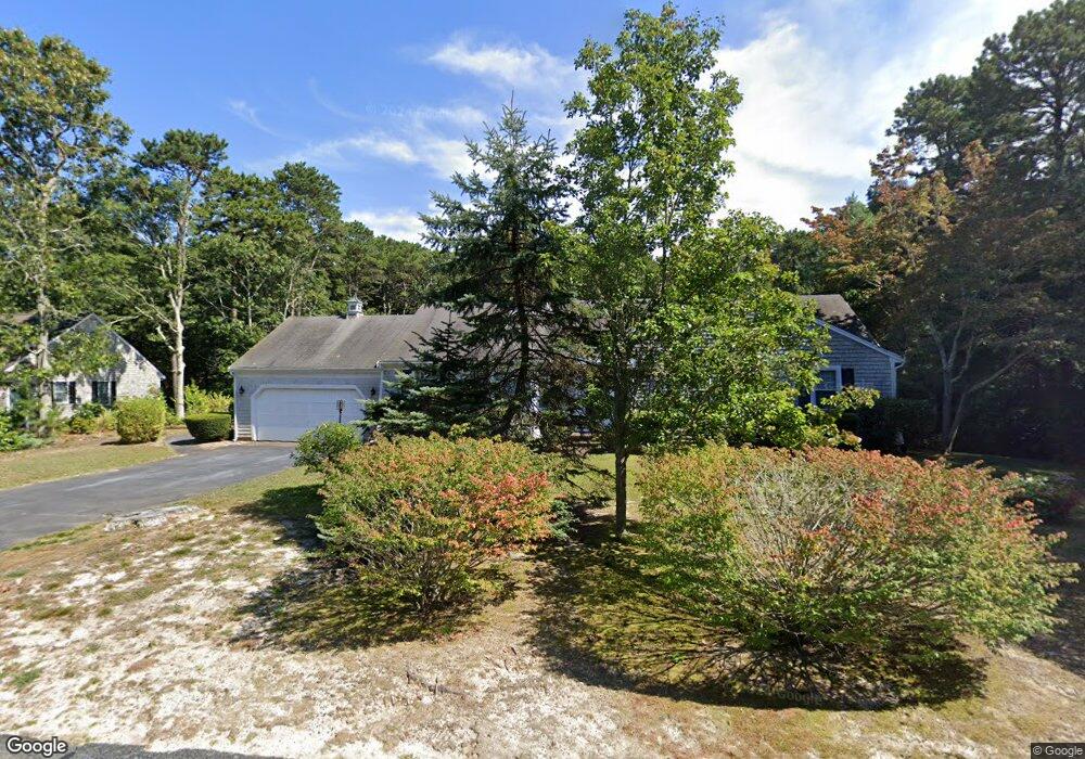
64 Greenland Cir Yarmouth Port, MA 02675
Yarmouth Port NeighborhoodEstimated Value: $780,000 - $853,000
4
Beds
3
Baths
2,201
Sq Ft
$367/Sq Ft
Est. Value
About This Home
This home is located at 64 Greenland Cir, Yarmouth Port, MA 02675 and is currently estimated at $808,788, approximately $367 per square foot. 64 Greenland Cir is a home located in Barnstable County with nearby schools including Dennis-Yarmouth Regional High School.
Ownership History
Date
Name
Owned For
Owner Type
Purchase Details
Closed on
Sep 28, 2001
Sold by
Ahern James D and Ahern Michelle A
Bought by
Maher Joseph L
Current Estimated Value
Home Financials for this Owner
Home Financials are based on the most recent Mortgage that was taken out on this home.
Original Mortgage
$182,500
Outstanding Balance
$71,541
Interest Rate
6.91%
Mortgage Type
Purchase Money Mortgage
Estimated Equity
$737,247
Purchase Details
Closed on
Jul 14, 1999
Sold by
Zita C Ahern T and Ahern Zita C
Bought by
Ahern James D and Ahern Michelle A
Home Financials for this Owner
Home Financials are based on the most recent Mortgage that was taken out on this home.
Original Mortgage
$175,000
Interest Rate
7.39%
Mortgage Type
Purchase Money Mortgage
Create a Home Valuation Report for This Property
The Home Valuation Report is an in-depth analysis detailing your home's value as well as a comparison with similar homes in the area
Home Values in the Area
Average Home Value in this Area
Purchase History
| Date | Buyer | Sale Price | Title Company |
|---|---|---|---|
| Maher Joseph L | $282,500 | -- | |
| Ahern James D | $195,000 | -- |
Source: Public Records
Mortgage History
| Date | Status | Borrower | Loan Amount |
|---|---|---|---|
| Open | Maher Joseph L | $182,500 | |
| Previous Owner | Ahern James D | $175,000 |
Source: Public Records
Tax History Compared to Growth
Tax History
| Year | Tax Paid | Tax Assessment Tax Assessment Total Assessment is a certain percentage of the fair market value that is determined by local assessors to be the total taxable value of land and additions on the property. | Land | Improvement |
|---|---|---|---|---|
| 2025 | $5,258 | $742,600 | $169,000 | $573,600 |
| 2024 | $4,976 | $674,200 | $147,000 | $527,200 |
| 2023 | $4,887 | $602,600 | $133,600 | $469,000 |
| 2022 | $4,603 | $501,400 | $127,500 | $373,900 |
| 2021 | $4,252 | $444,800 | $127,500 | $317,300 |
| 2020 | $4,181 | $418,100 | $134,800 | $283,300 |
| 2019 | $3,811 | $377,300 | $134,800 | $242,500 |
| 2018 | $3,652 | $354,900 | $112,400 | $242,500 |
| 2017 | $3,556 | $354,900 | $112,400 | $242,500 |
| 2016 | $3,452 | $345,900 | $103,400 | $242,500 |
| 2015 | $3,257 | $324,400 | $98,900 | $225,500 |
Source: Public Records
Map
Nearby Homes
- 20 Trophy Ln
- 6 Nimble Hill Dr
- 800 Route 6a
- 800 Route 6a
- 21 Boxwood Cir
- 13 Covey Dr
- 64 Kates Path
- 17 Kates Path Unit A
- 15 Follins Pond Rd
- 4208 Heatherwood
- 228 Kates Path
- 28 Oak Glen
- 25 Oak Glen
- 25 Oak Glen Village Unit 25
- 59 Route 6a Unit 29-4
- 19 John Halls Cartpath Village Unit E
- 158 Kates Path
- 19 John Hall Cartway Unit E
- 17 Nottingham Dr
- 42 John Hall Cartway Unit 42
- 70 Greenland Cir
- 58 Greenland Cir
- 65 Greenland Cir
- 59 Greenland Cir
- 73 Greenland Cir
- 76 Greenland Cir
- 53 Greenland Cir
- 29 Greenland Cir
- 56 Greenland Cir
- 123 Wianno Rd
- 113 Wianno Rd
- 117 Wianno Rd
- 80 Greenland Cir
- 121 Wianno Rd
- 125 Wianno Rd
- 0 Wianno Rd
- 0 Wianno Rd
- 135 Wianno Rd
- 105 Wianno Rd
- 120 Wianno Rd