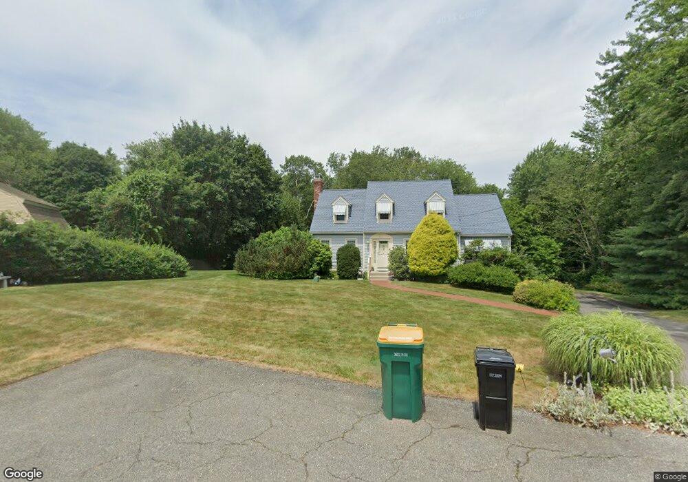
64 Haduk Dr North Attleboro, MA 02760
North Attleboro NeighborhoodEstimated Value: $666,000 - $782,000
4
Beds
2
Baths
2,080
Sq Ft
$345/Sq Ft
Est. Value
About This Home
This home is located at 64 Haduk Dr, North Attleboro, MA 02760 and is currently estimated at $716,678, approximately $344 per square foot. 64 Haduk Dr is a home located in Bristol County with nearby schools including North Attleboro High School, Blackstone Valley Prep Elementary School 1, and Blackstone Valley Prep Elementary School 2.
Ownership History
Date
Name
Owned For
Owner Type
Purchase Details
Closed on
Sep 26, 2022
Sold by
Kessler Laurence and Cains Lynne
Bought by
Cains Kessler Ft
Current Estimated Value
Purchase Details
Closed on
May 21, 1993
Sold by
Vandenbergh Charles J and Vandenbergh Olga
Bought by
Kessler Laurence and Cains Lynne
Home Financials for this Owner
Home Financials are based on the most recent Mortgage that was taken out on this home.
Original Mortgage
$130,000
Interest Rate
7.54%
Mortgage Type
Purchase Money Mortgage
Create a Home Valuation Report for This Property
The Home Valuation Report is an in-depth analysis detailing your home's value as well as a comparison with similar homes in the area
Home Values in the Area
Average Home Value in this Area
Purchase History
| Date | Buyer | Sale Price | Title Company |
|---|---|---|---|
| Cains Kessler Ft | -- | None Available | |
| Kessler Laurence | $177,400 | -- |
Source: Public Records
Mortgage History
| Date | Status | Borrower | Loan Amount |
|---|---|---|---|
| Previous Owner | Kessler Laurence | $130,000 |
Source: Public Records
Tax History Compared to Growth
Tax History
| Year | Tax Paid | Tax Assessment Tax Assessment Total Assessment is a certain percentage of the fair market value that is determined by local assessors to be the total taxable value of land and additions on the property. | Land | Improvement |
|---|---|---|---|---|
| 2025 | $7,618 | $646,100 | $166,400 | $479,700 |
| 2024 | $7,229 | $626,400 | $166,400 | $460,000 |
| 2023 | $7,317 | $572,100 | $166,400 | $405,700 |
| 2022 | $6,769 | $485,900 | $166,400 | $319,500 |
| 2021 | $6,787 | $475,600 | $166,400 | $309,200 |
| 2020 | $6,604 | $460,200 | $166,400 | $293,800 |
| 2019 | $6,341 | $445,300 | $151,500 | $293,800 |
| 2018 | $5,633 | $422,300 | $151,500 | $270,800 |
| 2017 | $5,210 | $394,100 | $151,500 | $242,600 |
| 2016 | $5,377 | $406,700 | $168,400 | $238,300 |
| 2015 | $4,895 | $372,500 | $168,400 | $204,100 |
| 2014 | $4,590 | $346,700 | $147,800 | $198,900 |
Source: Public Records
Map
Nearby Homes
- 1 Frederick a Nittel Dr
- 0 Mendon Rd
- 135 Cumberland Ave
- 48 May St
- 73 Vineyard Ave
- 457 Bryant St
- 543 Newport Ave
- 11 Howarth Ave
- 73 Grandview Dr
- 23 Cumberland Ave
- 23 Carlson Dr
- 370 Bryant St
- 30 Thomas Ave
- 447 Cumberland Ave
- 123 Terrace Ave
- 96 Robinson Ave
- 17 Lockwood Ave
- 163 Woodside Ave
- 143 Carrier Ave
- 276 Newport Ave