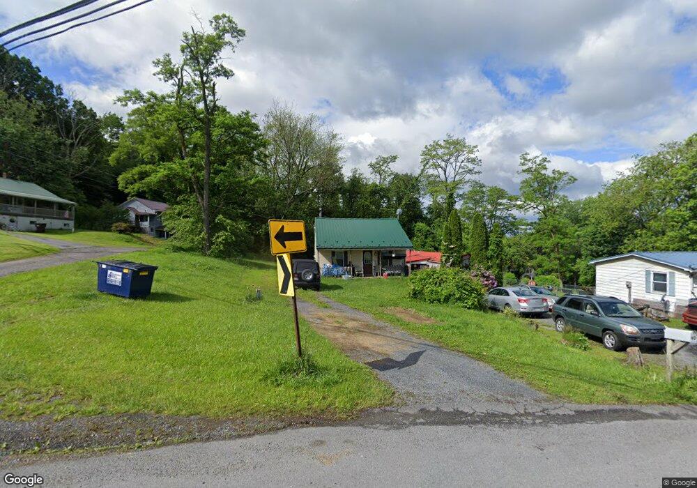
64 Hawstone Rd Lewistown, PA 17044
Estimated Value: $96,572 - $114,000
2
Beds
1
Bath
624
Sq Ft
$166/Sq Ft
Est. Value
About This Home
This home is located at 64 Hawstone Rd, Lewistown, PA 17044 and is currently estimated at $103,643, approximately $166 per square foot. 64 Hawstone Rd is a home with nearby schools including Lewistown Intermediate School, Lewistown Elementary School, and Mifflin County Middle School.
Ownership History
Date
Name
Owned For
Owner Type
Purchase Details
Closed on
Sep 18, 2013
Sold by
Cherry Regina R and Reik Regina R
Bought by
Lightfoot Jason A and Lightfoot Elizabeth A
Current Estimated Value
Home Financials for this Owner
Home Financials are based on the most recent Mortgage that was taken out on this home.
Original Mortgage
$32,800
Outstanding Balance
$8,058
Interest Rate
3.63%
Estimated Equity
$95,585
Purchase Details
Closed on
Oct 8, 2002
Bought by
Reik Regina R
Create a Home Valuation Report for This Property
The Home Valuation Report is an in-depth analysis detailing your home's value as well as a comparison with similar homes in the area
Home Values in the Area
Average Home Value in this Area
Purchase History
| Date | Buyer | Sale Price | Title Company |
|---|---|---|---|
| Lightfoot Jason A | $44,000 | -- | |
| Reik Regina R | $53,000 | -- |
Source: Public Records
Mortgage History
| Date | Status | Borrower | Loan Amount |
|---|---|---|---|
| Open | Lightfoot Jason A | $32,800 |
Source: Public Records
Tax History Compared to Growth
Tax History
| Year | Tax Paid | Tax Assessment Tax Assessment Total Assessment is a certain percentage of the fair market value that is determined by local assessors to be the total taxable value of land and additions on the property. | Land | Improvement |
|---|---|---|---|---|
| 2025 | $1,145 | $18,050 | $7,600 | $10,450 |
| 2023 | $1,145 | $18,050 | $7,600 | $10,450 |
| 2022 | $1,109 | $18,050 | $7,600 | $10,450 |
| 2021 | $1,109 | $18,050 | $7,600 | $10,450 |
| 2020 | $1,109 | $18,050 | $7,600 | $10,450 |
| 2019 | $1,090 | $18,050 | $7,600 | $10,450 |
| 2018 | $1,094 | $18,050 | $7,600 | $10,450 |
| 2017 | $1,094 | $18,050 | $7,600 | $10,450 |
| 2016 | $1,063 | $18,050 | $7,600 | $10,450 |
| 2015 | -- | $18,050 | $7,600 | $10,450 |
| 2012 | -- | $18,050 | $7,600 | $10,450 |
Source: Public Records
Map
Nearby Homes
- 54 Hawstone Rd
- 10 High St
- 20 High St
- 42 Hawstone Rd
- 22 Hawstone Rd
- 39 Goodman Ave
- 30 Hawstone Rd
- 86 Hawstone Rd
- 84 Hawstone Rd
- 90 Hawstone Rd
- 50 High St
- 34 Goodman Ave
- 20 Goodman Ave
- 10 Tower Hill Rd
- 5932 State Route 103 N
- 21 Tower Hill Rd
- 5910 State Route 103 N
- 5924 State Route 103 N
- 24 Tower Hill Rd
- 5928 State Route 103 N