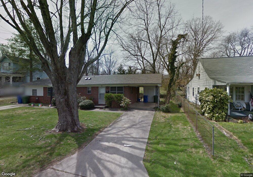
64 Herron Ave Asheville, NC 28806
West Asheville NeighborhoodEstimated Value: $426,168 - $513,000
2
Beds
3
Baths
1,458
Sq Ft
$315/Sq Ft
Est. Value
About This Home
This home is located at 64 Herron Ave, Asheville, NC 28806 and is currently estimated at $459,542, approximately $315 per square foot. 64 Herron Ave is a home located in Buncombe County with nearby schools including Hall Fletcher Elementary, Isaac Dickson Elementary, and Ira B Jones Elementary.
Ownership History
Date
Name
Owned For
Owner Type
Purchase Details
Closed on
Aug 30, 2021
Sold by
Fluharty Joseph R and Fluharty Elizabeth L
Bought by
Winterrowd Troy E
Current Estimated Value
Home Financials for this Owner
Home Financials are based on the most recent Mortgage that was taken out on this home.
Original Mortgage
$284,750
Outstanding Balance
$259,101
Interest Rate
2.8%
Mortgage Type
New Conventional
Estimated Equity
$200,441
Create a Home Valuation Report for This Property
The Home Valuation Report is an in-depth analysis detailing your home's value as well as a comparison with similar homes in the area
Home Values in the Area
Average Home Value in this Area
Purchase History
| Date | Buyer | Sale Price | Title Company |
|---|---|---|---|
| Winterrowd Troy E | $335,000 | None Available |
Source: Public Records
Mortgage History
| Date | Status | Borrower | Loan Amount |
|---|---|---|---|
| Open | Winterrowd Troy E | $284,750 |
Source: Public Records
Tax History Compared to Growth
Tax History
| Year | Tax Paid | Tax Assessment Tax Assessment Total Assessment is a certain percentage of the fair market value that is determined by local assessors to be the total taxable value of land and additions on the property. | Land | Improvement |
|---|---|---|---|---|
| 2025 | $2,674 | $258,800 | $113,300 | $145,500 |
| 2024 | $2,674 | $258,800 | $113,300 | $145,500 |
| 2023 | $2,674 | $255,000 | $113,300 | $141,700 |
| 2022 | $2,549 | $255,600 | $113,300 | $142,300 |
| 2021 | $2,549 | $255,600 | $0 | $0 |
| 2020 | $2,420 | $224,500 | $0 | $0 |
| 2019 | $2,420 | $224,500 | $0 | $0 |
| 2018 | $2,420 | $224,500 | $0 | $0 |
| 2017 | $2,442 | $136,100 | $0 | $0 |
| 2016 | $1,673 | $136,100 | $0 | $0 |
| 2015 | $1,673 | $136,100 | $0 | $0 |
| 2014 | $1,652 | $136,100 | $0 | $0 |
Source: Public Records
Map
Nearby Homes
- 55 Herron Ave
- 31 Oakwood St
- 54 Louisiana Ave
- 18 Sand Hill Rd
- 18 Jarrett St
- 30 Sand Hill Rd
- 197 Brucemont Cir
- 20 Cloyes St
- 5 Orrinel Way
- 141 Louisiana Ave
- 60 Dorchester Ave
- 74 Brucemont Cir
- 56 Brevard Rd
- 27 Mauricet Ln
- 7 Mauricet Ln
- 123 Brucemont Cir
- 75 Nevada Ave
- 32 Harnett St
- 68 1/2 Nevada Ave
- 99 Nevada Ave
- 62 Herron Ave
- 58 Herron Ave
- 72 Herron Ave
- 54 Herron Ave
- 41 Mildred Ave
- 41 Mildred Ave Unit 2
- 41 Mildred Ave Unit 1
- 59 Herron Ave
- 57 Herron Ave
- 43 Mildred Ave
- 39 Mildred Ave
- 21 Greenwood Ave
- 50 Herron Ave
- 49 Mildred Ave
- 61 Herron Ave
- 82 Herron Ave
- 15 Greenwood Ave
- 51 Mildred Ave
- 53 Herron Ave
- 46 Herron Ave