64 High Rock Rd Sandy Hook, CT 06482
Estimated Value: $879,498 - $1,169,000
4
Beds
3
Baths
3,335
Sq Ft
$287/Sq Ft
Est. Value
About This Home
This home is located at 64 High Rock Rd, Sandy Hook, CT 06482 and is currently estimated at $957,625, approximately $287 per square foot. 64 High Rock Rd is a home located in Fairfield County with nearby schools including Middle Gate Elementary School, Reed Intermediate School, and Newtown Middle School.
Ownership History
Date
Name
Owned For
Owner Type
Purchase Details
Closed on
Feb 25, 2002
Sold by
Prestige Bldrs Llc
Bought by
Falkowitz Alice
Current Estimated Value
Create a Home Valuation Report for This Property
The Home Valuation Report is an in-depth analysis detailing your home's value as well as a comparison with similar homes in the area
Home Values in the Area
Average Home Value in this Area
Purchase History
| Date | Buyer | Sale Price | Title Company |
|---|---|---|---|
| Falkowitz Alice | $547,000 | -- | |
| Falkowitz Alice | $547,000 | -- |
Source: Public Records
Mortgage History
| Date | Status | Borrower | Loan Amount |
|---|---|---|---|
| Open | Falkowitz Alice | $383,500 | |
| Closed | Falkowitz Alice | $403,000 | |
| Closed | Falkowitz Alice | $414,000 |
Source: Public Records
Tax History Compared to Growth
Tax History
| Year | Tax Paid | Tax Assessment Tax Assessment Total Assessment is a certain percentage of the fair market value that is determined by local assessors to be the total taxable value of land and additions on the property. | Land | Improvement |
|---|---|---|---|---|
| 2025 | $13,804 | $480,300 | $86,560 | $393,740 |
| 2024 | $12,954 | $480,300 | $86,560 | $393,740 |
| 2023 | $12,603 | $480,300 | $86,560 | $393,740 |
| 2022 | $12,197 | $351,790 | $73,810 | $277,980 |
| 2021 | $12,190 | $351,790 | $73,810 | $277,980 |
| 2020 | $12,228 | $351,790 | $73,810 | $277,980 |
| 2019 | $12,232 | $351,790 | $73,810 | $277,980 |
| 2018 | $12,045 | $351,790 | $73,810 | $277,980 |
| 2017 | $13,046 | $385,180 | $83,530 | $301,650 |
| 2016 | $12,942 | $385,180 | $83,530 | $301,650 |
| 2015 | $12,738 | $385,180 | $83,530 | $301,650 |
| 2014 | $12,830 | $385,180 | $83,530 | $301,650 |
Source: Public Records
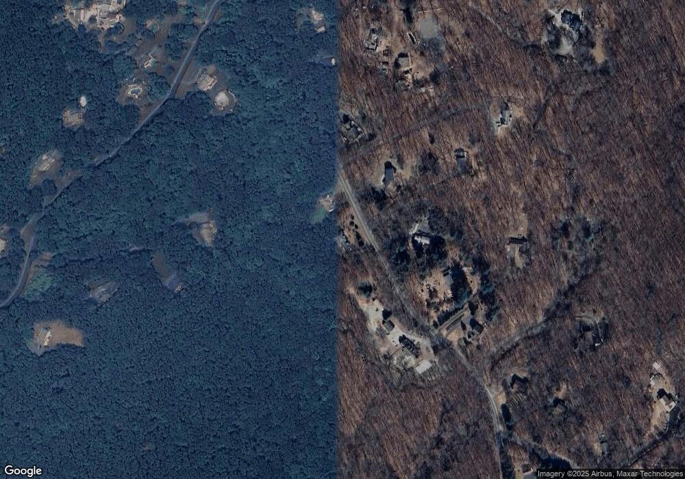
Map
Nearby Homes
- 61 High Rock Rd
- 42 Great Ring Rd
- 40 Great Ring Rd
- 49 Great Ring Rd
- 4 Rowledge Pond Rd
- 59 Great Ring Rd
- 66 Marlin Rd
- 3 Rowledge Pond Rd
- 491 Hammertown Rd
- 602 Fan Hill Rd
- 8 Holly Ln
- 167 Toddy Hill Rd
- 58 Botsford Hill Rd
- 238 Berkshire Rd
- 13 Jordan Hill Rd
- 18 Osborne Hill Rd
- 7 Deerfield Dr
- 124 Bagburn Rd
- 53 A Toddy Hill Rd
- 238 Turkey Roost Rd