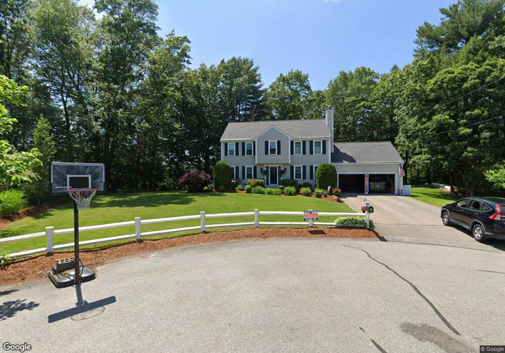
64 Hitching Post Dr Walpole, MA 02081
Estimated Value: $864,362 - $904,000
4
Beds
3
Baths
2,040
Sq Ft
$437/Sq Ft
Est. Value
About This Home
This home is located at 64 Hitching Post Dr, Walpole, MA 02081 and is currently estimated at $891,091, approximately $436 per square foot. 64 Hitching Post Dr is a home located in Norfolk County with nearby schools including Elm Street School, Eleanor N. Johnson Middle School, and Walpole High School.
Ownership History
Date
Name
Owned For
Owner Type
Purchase Details
Closed on
Apr 30, 2007
Sold by
Solo Realty Llc
Bought by
Ward Michael J and Ward Maureen E
Current Estimated Value
Purchase Details
Closed on
Jan 8, 2007
Sold by
Pierre-Louis James R
Bought by
Solo Realty Llc
Purchase Details
Closed on
Mar 4, 1999
Sold by
Ronca Bldg & Dev Inc
Bought by
Pierre-Louis James R
Create a Home Valuation Report for This Property
The Home Valuation Report is an in-depth analysis detailing your home's value as well as a comparison with similar homes in the area
Home Values in the Area
Average Home Value in this Area
Purchase History
| Date | Buyer | Sale Price | Title Company |
|---|---|---|---|
| Ward Michael J | $459,900 | -- | |
| Solo Realty Llc | $401,000 | -- | |
| Pierre-Louis James R | $272,900 | -- |
Source: Public Records
Mortgage History
| Date | Status | Borrower | Loan Amount |
|---|---|---|---|
| Open | Pierre-Louis James R | $346,000 | |
| Closed | Pierre-Louis James R | $357,000 |
Source: Public Records
Tax History
| Year | Tax Paid | Tax Assessment Tax Assessment Total Assessment is a certain percentage of the fair market value that is determined by local assessors to be the total taxable value of land and additions on the property. | Land | Improvement |
|---|---|---|---|---|
| 2025 | $10,070 | $784,900 | $346,400 | $438,500 |
| 2024 | $9,743 | $737,000 | $332,900 | $404,100 |
| 2023 | $8,992 | $647,400 | $289,500 | $357,900 |
| 2022 | $8,184 | $566,000 | $268,100 | $297,900 |
| 2021 | $8,037 | $541,600 | $253,000 | $288,600 |
| 2020 | $7,811 | $521,100 | $238,500 | $282,600 |
| 2019 | $7,521 | $498,100 | $229,200 | $268,900 |
| 2018 | $7,246 | $474,500 | $220,900 | $253,600 |
| 2017 | $7,038 | $459,100 | $212,300 | $246,800 |
| 2016 | $6,713 | $431,400 | $195,800 | $235,600 |
| 2015 | $6,395 | $407,300 | $178,500 | $228,800 |
| 2014 | $6,102 | $387,200 | $178,500 | $208,700 |
Source: Public Records
Map
Nearby Homes
- 10 Weathervane Dr Unit 20
- 3 Weathervane Dr Unit 1
- 9 Pearl St
- 25 Sandtrap Cir Unit 8
- 29 Sandtrap Cir Unit 6
- 27 Sandtrap Cir Unit 7
- 21 Sandtrap Cir Unit 10
- 23 Sandtrap Cir Unit 9
- 27 Sandtrip Cir Unit 7
- 13 Sandtrap Cir Unit 14
- 11 Sandtrap Cir Unit 15
- 20 Sandtrap Cir Unit 4
- 19 Sandtrap Cir Unit 11
- 14 Weathervane Dr Unit 22
- 18 Sandtrap Cir Unit 3
- 17 Sandtrap Cir Unit 12
- 15 Sandtrap Cir Unit 13
- 10 Sandtrap Cir Unit 2
- 20 Forrest Rd
- 31 Sandtrap Cir Unit 500
- 63 Hitching Post Dr
- 60 Hitching Post Dr
- 2 Bucket Mill Ln
- 56 Hitching Post Dr
- 6 Bucket Mill Ln
- 3 Bucket Mill Ln
- 52 Hitching Post Dr
- 55 Hitching Post Dr
- 34 Clarkson Dr
- 32 Clarkson Dr
- 48 Hitching Post Dr
- 51 Hitching Post Dr
- 30 Clarkson Dr
- 44 Hitching Post Dr
- 28 Clarkson Dr
- 33 Clarkson Dr
- 47 Hitching Post Dr
- 31 Clarkson Dr
- 29 Clarkson Dr
- 26 Clarkson Dr
Your Personal Tour Guide
Ask me questions while you tour the home.