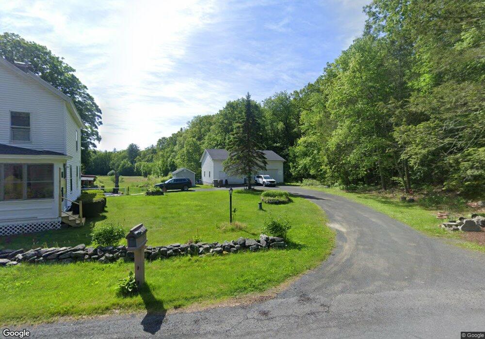
64 Honey Pot Rd Westfield, MA 01085
Estimated Value: $317,000 - $395,000
3
Beds
2
Baths
1,456
Sq Ft
$250/Sq Ft
Est. Value
About This Home
This home is located at 64 Honey Pot Rd, Westfield, MA 01085 and is currently estimated at $363,370, approximately $249 per square foot. 64 Honey Pot Rd is a home located in Hampden County with nearby schools including Westfield High School.
Ownership History
Date
Name
Owned For
Owner Type
Purchase Details
Closed on
Aug 27, 2003
Sold by
Pitoniak Catherine J and Pitoniak Elizabeth A
Bought by
Nadeau Donald R
Current Estimated Value
Home Financials for this Owner
Home Financials are based on the most recent Mortgage that was taken out on this home.
Original Mortgage
$129,600
Outstanding Balance
$57,838
Interest Rate
5.69%
Mortgage Type
Purchase Money Mortgage
Estimated Equity
$305,532
Create a Home Valuation Report for This Property
The Home Valuation Report is an in-depth analysis detailing your home's value as well as a comparison with similar homes in the area
Home Values in the Area
Average Home Value in this Area
Purchase History
| Date | Buyer | Sale Price | Title Company |
|---|---|---|---|
| Nadeau Donald R | $144,000 | -- |
Source: Public Records
Mortgage History
| Date | Status | Borrower | Loan Amount |
|---|---|---|---|
| Open | Nadeau Donald R | $129,600 |
Source: Public Records
Tax History Compared to Growth
Tax History
| Year | Tax Paid | Tax Assessment Tax Assessment Total Assessment is a certain percentage of the fair market value that is determined by local assessors to be the total taxable value of land and additions on the property. | Land | Improvement |
|---|---|---|---|---|
| 2025 | $4,719 | $310,900 | $128,000 | $182,900 |
| 2024 | $4,566 | $285,900 | $116,700 | $169,200 |
| 2023 | $4,279 | $261,300 | $111,000 | $150,300 |
| 2022 | $4,279 | $231,400 | $98,800 | $132,600 |
| 2021 | $4,135 | $219,000 | $93,200 | $125,800 |
| 2020 | $4,050 | $210,400 | $93,200 | $117,200 |
| 2019 | $3,952 | $200,900 | $88,800 | $112,100 |
| 2018 | $3,889 | $200,900 | $88,800 | $112,100 |
| 2017 | $3,861 | $198,800 | $90,100 | $108,700 |
| 2016 | $3,865 | $198,800 | $90,100 | $108,700 |
| 2015 | $3,686 | $198,800 | $90,100 | $108,700 |
| 2014 | $2,756 | $198,800 | $90,100 | $108,700 |
Source: Public Records
Map
Nearby Homes
- 156 Honey Pot Rd
- 162 Honey Pot Rd
- 197 Loomis Rg
- 444 Loomis St
- 3 Angelica Dr
- 126 Western Cir
- 40 Heritage Ln
- 508 Granville Rd
- 53 Yankee Cir
- 0 Fox Hill Dr
- 110 Kensington Ave
- 555 Russell Rd Unit U A3
- 555 Russell Rd Unit D18
- 66 Stoney Ln
- 549 Russell Rd Unit 6B
- 324 Russell Rd Unit 204
- 16 Spruce St
- 11 Highland Cir
- 78 Granville Rd Unit 11
- 386 Hillside Rd
- 65 Honey Pot Rd
- 55 Honey Pot Rd
- 100 Honey Pot Rd
- 95 Honey Pot Rd
- 36 Honey Pot Rd
- 29 Honey Pot Rd
- 24 Honey Pot Rd
- 21 Honey Pot Rd
- 20 Honey Pot Rd
- 120 Honey Pot Rd
- 11R Honey Pot Rd
- 1140 Granville Rd
- 1130 Granville Rd
- 123 Honey Pot Rd
- 1164 Granville Rd
- 1176 Granville Rd
- 1188 Granville Rd
- 1152 Granville Rd
- 1175 Granville Rd
- 0 Honey Pot Rd