64 Hornbine Rd Rehoboth, MA 02769
Estimated Value: $780,284 - $972,000
4
Beds
4
Baths
3,842
Sq Ft
$232/Sq Ft
Est. Value
About This Home
This home is located at 64 Hornbine Rd, Rehoboth, MA 02769 and is currently estimated at $890,821, approximately $231 per square foot. 64 Hornbine Rd is a home located in Bristol County with nearby schools including Dighton-Rehoboth Regional High School.
Ownership History
Date
Name
Owned For
Owner Type
Purchase Details
Closed on
Apr 29, 2016
Sold by
Felides Dean W and Felides Colleen F
Bought by
Bliss Edward J
Current Estimated Value
Home Financials for this Owner
Home Financials are based on the most recent Mortgage that was taken out on this home.
Original Mortgage
$150,000
Outstanding Balance
$66,678
Interest Rate
3.73%
Mortgage Type
New Conventional
Estimated Equity
$824,143
Purchase Details
Closed on
Aug 1, 1980
Bought by
Felides Dean W and Felides Colleen F
Create a Home Valuation Report for This Property
The Home Valuation Report is an in-depth analysis detailing your home's value as well as a comparison with similar homes in the area
Home Values in the Area
Average Home Value in this Area
Purchase History
| Date | Buyer | Sale Price | Title Company |
|---|---|---|---|
| Bliss Edward J | $450,000 | -- | |
| Felides Dean W | -- | -- |
Source: Public Records
Mortgage History
| Date | Status | Borrower | Loan Amount |
|---|---|---|---|
| Open | Bliss Edward J | $150,000 | |
| Previous Owner | Felides Dean W | $50,000 | |
| Previous Owner | Felides Dean W | $59,690 | |
| Previous Owner | Felides Dean W | $77,000 |
Source: Public Records
Tax History Compared to Growth
Tax History
| Year | Tax Paid | Tax Assessment Tax Assessment Total Assessment is a certain percentage of the fair market value that is determined by local assessors to be the total taxable value of land and additions on the property. | Land | Improvement |
|---|---|---|---|---|
| 2025 | $67 | $601,400 | $223,800 | $377,600 |
| 2024 | $6,865 | $604,300 | $223,800 | $380,500 |
| 2023 | $6,467 | $558,500 | $219,800 | $338,700 |
| 2022 | $6,344 | $500,700 | $211,400 | $289,300 |
| 2021 | $6,145 | $464,100 | $195,100 | $269,000 |
| 2020 | $6,140 | $468,000 | $195,100 | $272,900 |
| 2018 | $5,296 | $442,400 | $187,300 | $255,100 |
| 2017 | $5,192 | $413,400 | $187,300 | $226,100 |
| 2016 | $5,023 | $413,400 | $187,300 | $226,100 |
| 2015 | $4,536 | $368,500 | $180,100 | $188,400 |
| 2014 | $4,410 | $354,500 | $172,900 | $181,600 |
Source: Public Records
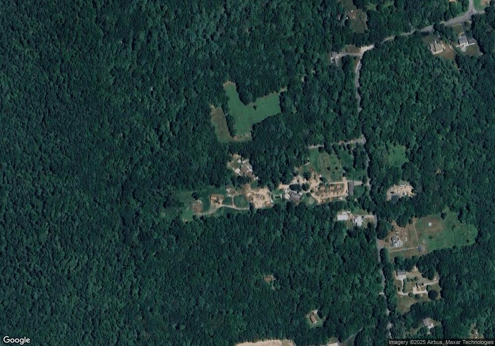
Map
Nearby Homes
- 64 Hornbine Rd Unit 2
- 68 Hornbine Rd
- 78 Hornbine Rd
- 72 Hornbine Rd
- 54 Hornbine Rd
- 71 Hornbine Rd
- 82 Hornbine Rd
- 73 Hornbine Rd
- 79 Hornbine Rd
- 52 Hornbine Rd
- 45 Hornbine Rd
- 90 Hornbine Rd
- 85 Hornbine Rd
- 41 Hornbine Rd
- 89 Hornbine Rd
- 37 Hornbine Rd
- 95 Hornbine Rd
- 33 Hornbine Rd
- 149 Simmons St
- 99 Hornbine Rd