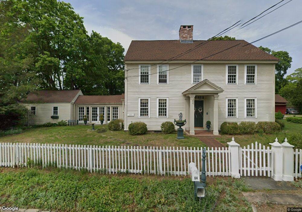
64 Hurlbutt Rd Gales Ferry, CT 06335
Gales Ferry NeighborhoodEstimated Value: $487,000 - $571,091
4
Beds
2
Baths
2,062
Sq Ft
$265/Sq Ft
Est. Value
About This Home
This home is located at 64 Hurlbutt Rd, Gales Ferry, CT 06335 and is currently estimated at $545,523, approximately $264 per square foot. 64 Hurlbutt Rd is a home located in New London County with nearby schools including Ledyard Middle School, Ledyard High School, and Academy Of St Therese.
Ownership History
Date
Name
Owned For
Owner Type
Purchase Details
Closed on
Sep 14, 2009
Sold by
White Susan D
Bought by
Sanz-Rovira David and Tilley-Rovira Bryon
Current Estimated Value
Home Financials for this Owner
Home Financials are based on the most recent Mortgage that was taken out on this home.
Original Mortgage
$287,000
Interest Rate
5.36%
Purchase Details
Closed on
Oct 18, 1983
Bought by
Robbins John H and Robbins Charlotte
Create a Home Valuation Report for This Property
The Home Valuation Report is an in-depth analysis detailing your home's value as well as a comparison with similar homes in the area
Home Values in the Area
Average Home Value in this Area
Purchase History
| Date | Buyer | Sale Price | Title Company |
|---|---|---|---|
| Sanz-Rovira David | $410,000 | -- | |
| Robbins John H | -- | -- |
Source: Public Records
Mortgage History
| Date | Status | Borrower | Loan Amount |
|---|---|---|---|
| Open | Robbins John H | $405,728 | |
| Closed | Robbins John H | $15,000 | |
| Closed | Robbins John H | $287,000 |
Source: Public Records
Tax History Compared to Growth
Tax History
| Year | Tax Paid | Tax Assessment Tax Assessment Total Assessment is a certain percentage of the fair market value that is determined by local assessors to be the total taxable value of land and additions on the property. | Land | Improvement |
|---|---|---|---|---|
| 2025 | $10,130 | $272,749 | $145,279 | $127,470 |
| 2024 | $9,603 | $272,749 | $145,279 | $127,470 |
| 2023 | $9,426 | $272,749 | $145,279 | $127,470 |
| 2022 | $9,224 | $272,749 | $145,279 | $127,470 |
| 2021 | $9,164 | $272,749 | $145,279 | $127,470 |
| 2020 | $9,155 | $261,800 | $110,810 | $150,990 |
| 2019 | $9,179 | $261,800 | $110,810 | $150,990 |
| 2018 | $8,977 | $261,800 | $110,810 | $150,990 |
| 2017 | $8,519 | $261,800 | $110,810 | $150,990 |
| 2016 | $8,351 | $261,800 | $110,810 | $150,990 |
| 2015 | $7,959 | $261,800 | $110,810 | $150,990 |
| 2014 | $11,359 | $379,890 | $220,220 | $159,670 |
Source: Public Records
Map
Nearby Homes
- 7 Harvard Rd
- 170 Depot Rd
- 36 Depot Rd
- 47 Norman Dr
- 14 Woodland Ln
- 2 Garden Ct
- 197 Norwich-New London Turnpike
- 31 Richard Rd
- 3 Marguy St
- 421 Kitemaug Rd
- 932 Long Cove Rd Unit TRLR 4
- 17 Inchcliffe Dr
- 205 Old Norwich Rd
- 0 Clarks Falls Unit 24089817
- 1513 Connecticut 12
- 165 Massapeag Rd
- 127 Massapeag Rd
- 176 Old Norwich Rd
- 123A Whalehead Rd
- 1010 Long Cove Rd
- 66 Hurlbutt Rd
- 62 Hurlbutt Rd
- 63 Hurlbutt Rd
- 60 Hurlbutt Rd
- 3 Riverside Place
- 59 Hurlbutt Rd
- 5 Riverside Place
- 68 Hurlbutt Rd
- 56 Hurlbutt Rd
- 57 Hurlbutt Rd
- 58 Hurlbutt Rd
- 54 Hurlbutt Rd
- 55 Hurlbutt Rd
- 6 Riverside Place
- 52 Hurlbutt Rd
- 53 Hurlbutt Rd
- 7 Riverside Place
- 8 Riverside Place
- 2 West Dr
- 2 West Dr