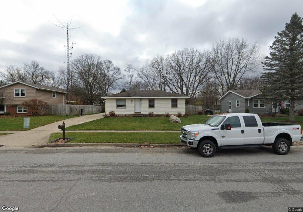
64 James St Rockford, MI 49341
Estimated Value: $282,000 - $308,000
3
Beds
1
Bath
1,013
Sq Ft
$293/Sq Ft
Est. Value
About This Home
This home is located at 64 James St, Rockford, MI 49341 and is currently estimated at $296,632, approximately $292 per square foot. 64 James St is a home located in Kent County with nearby schools including Meadow Ridge Elementary School, North Rockford Middle School, and Rockford High School.
Ownership History
Date
Name
Owned For
Owner Type
Purchase Details
Closed on
Feb 27, 2001
Sold by
Norwest Bank Minnesota Na
Bought by
Jensen Lauritz E
Current Estimated Value
Home Financials for this Owner
Home Financials are based on the most recent Mortgage that was taken out on this home.
Original Mortgage
$78,200
Outstanding Balance
$28,816
Interest Rate
7.18%
Estimated Equity
$267,816
Purchase Details
Closed on
May 18, 2000
Bought by
Norwest Bank Minnesota N A and Jensen Lauritz E
Create a Home Valuation Report for This Property
The Home Valuation Report is an in-depth analysis detailing your home's value as well as a comparison with similar homes in the area
Home Values in the Area
Average Home Value in this Area
Purchase History
| Date | Buyer | Sale Price | Title Company |
|---|---|---|---|
| Jensen Lauritz E | $89,000 | -- | |
| Norwest Bank Minnesota N A | $71,800 | -- |
Source: Public Records
Mortgage History
| Date | Status | Borrower | Loan Amount |
|---|---|---|---|
| Open | Jensen Lauritz E | $78,200 |
Source: Public Records
Tax History Compared to Growth
Tax History
| Year | Tax Paid | Tax Assessment Tax Assessment Total Assessment is a certain percentage of the fair market value that is determined by local assessors to be the total taxable value of land and additions on the property. | Land | Improvement |
|---|---|---|---|---|
| 2025 | $2,563 | $134,700 | $0 | $0 |
| 2024 | $2,563 | $132,700 | $0 | $0 |
| 2023 | $2,448 | $111,200 | $0 | $0 |
| 2022 | $2,833 | $101,800 | $0 | $0 |
| 2021 | $2,755 | $96,300 | $0 | $0 |
| 2020 | $2,244 | $89,600 | $0 | $0 |
| 2019 | $2,684 | $81,600 | $0 | $0 |
| 2018 | $2,690 | $74,700 | $0 | $0 |
| 2017 | $2,622 | $61,500 | $0 | $0 |
| 2016 | $2,335 | $55,300 | $0 | $0 |
| 2015 | -- | $55,300 | $0 | $0 |
| 2013 | -- | $49,600 | $0 | $0 |
Source: Public Records
Map
Nearby Homes
- 4286 Millpond Dr NE
- 8035 Jericho Ave NE
- 134 Gaylord Dr
- 175 S Main St
- 205 Hunters Ln NE Unit 23
- 171 Hunters Ln NE Unit 43
- 126 S Main St
- 131 S Monroe St NE
- 107 S Main St
- 142 E Division St NE
- 8246 Autumn Acres Dr
- 7878 Northland Dr NE
- 116 Kara Ct
- 150 Glencarin Dr NE
- 126 N Monroe St
- 4777 Windcliff Dr NE
- 179 Tamarack Ln NE
- 165 Hawthorne Ct NE
- 4985 Tiamo Ln NE
- 273 Summit Ave NE
- 70 James St
- 58 James St
- 52 James St
- 76 James St
- 61 James St
- 67 James St
- 82 James St
- 268 Helen Dr
- 73 James St
- 4363 Millpond Dr NE Unit 8
- 4367 Millpond Dr NE Unit 7
- 4359 Millpond Dr NE Unit 9
- 4355 Millpond Dr NE Unit 10
- 262 Helen Dr
- 40 James St
- 263 Helen Dr
- 4371 Millpond Dr NE
- 4373 Millpond Dr NE
- 271 Longview Dr
- 79 James St