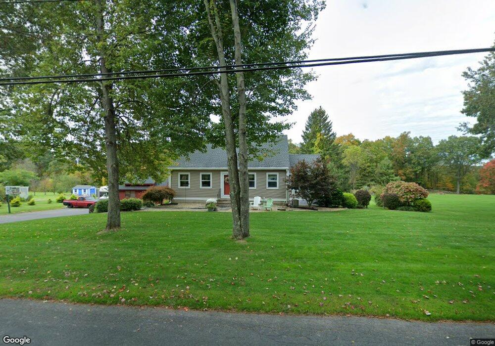
64 Kibbe Rd Ellington, CT 06029
Estimated Value: $414,562 - $471,000
4
Beds
2
Baths
1,806
Sq Ft
$244/Sq Ft
Est. Value
About This Home
This home is located at 64 Kibbe Rd, Ellington, CT 06029 and is currently estimated at $440,391, approximately $243 per square foot. 64 Kibbe Rd is a home located in Tolland County with nearby schools including Ellington High School.
Ownership History
Date
Name
Owned For
Owner Type
Purchase Details
Closed on
May 23, 1997
Sold by
Odonnell Mark and Odonnell Martha
Bought by
Daniel James and Crockett Sharon
Current Estimated Value
Purchase Details
Closed on
Nov 23, 1992
Sold by
Griffin Gregory and Griffin John
Bought by
Odonnell Mark and Odonnell Martha
Purchase Details
Closed on
Nov 10, 1988
Sold by
Bergamini Lee
Bought by
Griffin Gregory
Create a Home Valuation Report for This Property
The Home Valuation Report is an in-depth analysis detailing your home's value as well as a comparison with similar homes in the area
Home Values in the Area
Average Home Value in this Area
Purchase History
| Date | Buyer | Sale Price | Title Company |
|---|---|---|---|
| Daniel James | $136,000 | -- | |
| Odonnell Mark | $144,000 | -- | |
| Griffin Gregory | $181,900 | -- |
Source: Public Records
Mortgage History
| Date | Status | Borrower | Loan Amount |
|---|---|---|---|
| Open | Griffin Gregory | $20,001 | |
| Closed | Griffin Gregory | $234,000 | |
| Closed | Griffin Gregory | $238,000 |
Source: Public Records
Tax History Compared to Growth
Tax History
| Year | Tax Paid | Tax Assessment Tax Assessment Total Assessment is a certain percentage of the fair market value that is determined by local assessors to be the total taxable value of land and additions on the property. | Land | Improvement |
|---|---|---|---|---|
| 2025 | $6,308 | $170,020 | $58,570 | $111,450 |
| 2024 | $6,121 | $170,020 | $58,570 | $111,450 |
| 2023 | $5,832 | $170,020 | $58,570 | $111,450 |
| 2022 | $5,526 | $170,020 | $58,570 | $111,450 |
| 2021 | $5,373 | $170,020 | $58,570 | $111,450 |
| 2020 | $5,535 | $169,770 | $62,370 | $107,400 |
| 2019 | $5,535 | $169,770 | $62,370 | $107,400 |
| 2016 | $5,178 | $169,770 | $62,370 | $107,400 |
| 2015 | $5,178 | $176,530 | $62,370 | $114,160 |
| 2014 | $5,066 | $176,530 | $62,370 | $114,160 |
Source: Public Records
Map
Nearby Homes
- 437 Somers Rd
- 0 Porter Rd
- 14 Cherrywood Dr
- 5 Cranberry Ln
- 41 Hoffman Rd
- 178 Crystal Lake Rd
- 1 Maple St Unit 21
- 31 Gail Dr
- 0000 Webster Rd
- 58 Maple St
- 89 Maple St
- 2 Pease Farm Rd
- 89 Crystal Lake Rd Unit T7
- 310 South Rd
- 24 Bonair Hill Rd
- 2 Setting Sun Trail
- 7 Sunset Rd
- 222 Mountain Rd
- 7 Gulf Rd
- 12 Burbank Rd