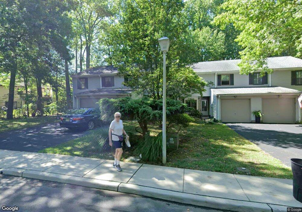
64 Kimberly Way Oceanport, NJ 07757
Estimated Value: $568,283 - $688,000
--
Bed
--
Bath
1,531
Sq Ft
$401/Sq Ft
Est. Value
About This Home
This home is located at 64 Kimberly Way, Oceanport, NJ 07757 and is currently estimated at $614,071, approximately $401 per square foot. 64 Kimberly Way is a home located in Monmouth County with nearby schools including Wolf Hill Elementary School, Maple Place Elementary and Middle School, and Shore Regional High School.
Ownership History
Date
Name
Owned For
Owner Type
Purchase Details
Closed on
Nov 2, 2007
Sold by
Siedlecki Pamela
Bought by
Elliott M Irene
Current Estimated Value
Home Financials for this Owner
Home Financials are based on the most recent Mortgage that was taken out on this home.
Original Mortgage
$209,500
Outstanding Balance
$132,826
Interest Rate
6.42%
Mortgage Type
Purchase Money Mortgage
Estimated Equity
$481,245
Purchase Details
Closed on
May 22, 1997
Sold by
Moss Florence
Bought by
Siedlecki Pamela
Home Financials for this Owner
Home Financials are based on the most recent Mortgage that was taken out on this home.
Original Mortgage
$112,000
Interest Rate
8.09%
Create a Home Valuation Report for This Property
The Home Valuation Report is an in-depth analysis detailing your home's value as well as a comparison with similar homes in the area
Home Values in the Area
Average Home Value in this Area
Purchase History
| Date | Buyer | Sale Price | Title Company |
|---|---|---|---|
| Elliott M Irene | $362,500 | Chicago Title Insurance Comp | |
| Siedlecki Pamela | $145,500 | -- |
Source: Public Records
Mortgage History
| Date | Status | Borrower | Loan Amount |
|---|---|---|---|
| Open | Elliott M Irene | $209,500 | |
| Previous Owner | Siedlecki Pamela | $112,000 |
Source: Public Records
Tax History Compared to Growth
Tax History
| Year | Tax Paid | Tax Assessment Tax Assessment Total Assessment is a certain percentage of the fair market value that is determined by local assessors to be the total taxable value of land and additions on the property. | Land | Improvement |
|---|---|---|---|---|
| 2025 | $7,590 | $525,000 | $335,000 | $190,000 |
| 2024 | $6,849 | $480,700 | $299,000 | $181,700 |
| 2023 | $6,849 | $411,600 | $239,000 | $172,600 |
| 2022 | $6,527 | $375,000 | $223,000 | $152,000 |
| 2021 | $6,527 | $349,500 | $192,000 | $157,500 |
| 2020 | $6,029 | $329,800 | $175,000 | $154,800 |
| 2019 | $5,662 | $314,400 | $165,000 | $149,400 |
| 2018 | $5,592 | $312,600 | $165,000 | $147,600 |
| 2017 | $5,716 | $265,000 | $125,000 | $140,000 |
Source: Public Records
Map
Nearby Homes
- 65 Kimberly Way
- 66 Kimberly Way
- 59 Hunters Run
- 60 Hunters Run
- 61 Hunters Run
- 62 Hunters Run
- 69 Horseshoe Ct
- 68 Horseshoe Ct
- 70 Horseshoe Ct
- 63 Kimberly Way
- 111 Carriage Ln
- 14 Hunters Run
- 13 Hunters Run
- 11 Hunters Run
- 9 Hunters Run
- 112 Carriage Ln
- 71 Horseshoe Ct
- 71 Horseshoe Ct Unit 151
- 18 Oceanport Ave
- 113 Carriage Ln