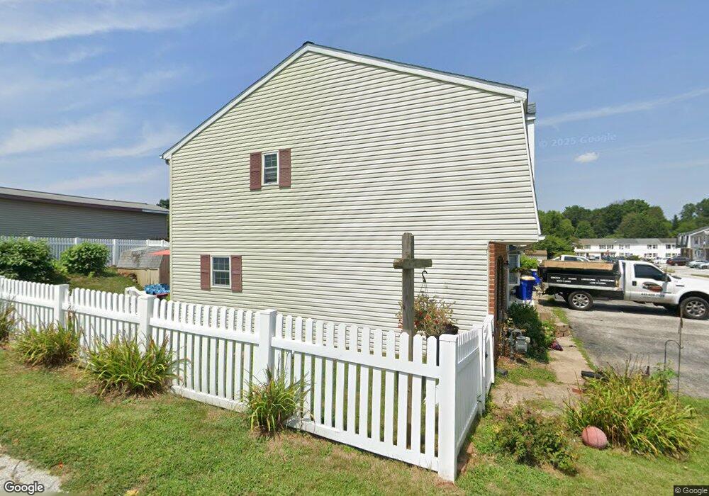
64 Kings Way Stewartstown, PA 17363
Estimated Value: $194,000 - $223,000
3
Beds
1
Bath
--
Sq Ft
3,920
Sq Ft Lot
About This Home
This home is located at 64 Kings Way, Stewartstown, PA 17363 and is currently estimated at $209,571. 64 Kings Way is a home located in York County with nearby schools including South Eastern Intermediate School, South Eastern Middle School, and Kennard-Dale High School.
Ownership History
Date
Name
Owned For
Owner Type
Purchase Details
Closed on
Sep 17, 2009
Sold by
Howell David C and Howell Joy L
Bought by
Shanahan Denise S
Current Estimated Value
Home Financials for this Owner
Home Financials are based on the most recent Mortgage that was taken out on this home.
Original Mortgage
$136,482
Outstanding Balance
$89,666
Interest Rate
5.28%
Mortgage Type
FHA
Estimated Equity
$119,905
Purchase Details
Closed on
Jul 28, 2000
Sold by
Johnson Vernon L and Johnson Lisa L
Bought by
Furman Robert J
Home Financials for this Owner
Home Financials are based on the most recent Mortgage that was taken out on this home.
Original Mortgage
$79,246
Interest Rate
8.13%
Mortgage Type
FHA
Create a Home Valuation Report for This Property
The Home Valuation Report is an in-depth analysis detailing your home's value as well as a comparison with similar homes in the area
Home Values in the Area
Average Home Value in this Area
Purchase History
| Date | Buyer | Sale Price | Title Company |
|---|---|---|---|
| Shanahan Denise S | $139,000 | None Available | |
| Furman Robert J | $79,900 | First American Title Ins Co |
Source: Public Records
Mortgage History
| Date | Status | Borrower | Loan Amount |
|---|---|---|---|
| Open | Shanahan Denise S | $136,482 | |
| Previous Owner | Furman Robert J | $79,246 |
Source: Public Records
Tax History Compared to Growth
Tax History
| Year | Tax Paid | Tax Assessment Tax Assessment Total Assessment is a certain percentage of the fair market value that is determined by local assessors to be the total taxable value of land and additions on the property. | Land | Improvement |
|---|---|---|---|---|
| 2025 | $3,048 | $95,260 | $24,380 | $70,880 |
| 2024 | $3,048 | $95,260 | $24,380 | $70,880 |
| 2023 | $3,048 | $95,260 | $24,380 | $70,880 |
| 2022 | $3,048 | $95,260 | $24,380 | $70,880 |
| 2021 | $2,953 | $95,260 | $24,380 | $70,880 |
| 2020 | $2,953 | $95,260 | $24,380 | $70,880 |
| 2019 | $2,944 | $95,260 | $24,380 | $70,880 |
| 2018 | $2,944 | $95,260 | $24,380 | $70,880 |
| 2017 | $2,944 | $95,260 | $24,380 | $70,880 |
| 2016 | $0 | $95,260 | $24,380 | $70,880 |
| 2015 | -- | $95,260 | $24,380 | $70,880 |
| 2014 | -- | $95,260 | $24,380 | $70,880 |
Source: Public Records
Map
Nearby Homes
- 2 S Main St
- 13 Baneberry St
- 1208 Crestview Ln Unit 1208
- 231 Cool Spring Ln
- 140 Lantern Ln
- 4341 Forbes Dr
- 120 Charles Ave
- 4287 Forbes Dr
- 24 Scarborough Fare
- 210 Runningboard Rd
- 17756 Barrens Rd N
- 10 Black Oak Ct
- 150 Patterson Dr Unit 47
- 160 Patterson Dr Unit 48
- 18010 Dave Anne Cir
- 170 Patterson Dr Unit 49
- 180 Patterson Dr Unit 50
- 200 Patterson Dr Unit 52
- 119 Edie Cir
- 515 Log House Rd Unit 119