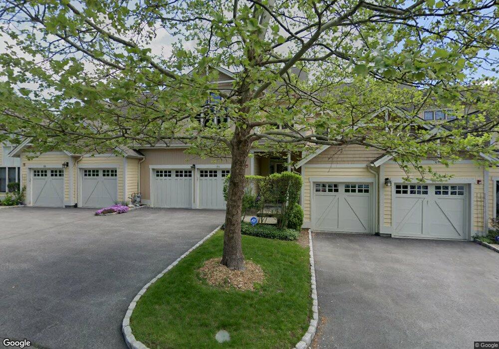
64 Landing Dr Dobbs Ferry, NY 10522
Estimated Value: $1,597,202 - $1,646,000
3
Beds
4
Baths
2,800
Sq Ft
$579/Sq Ft
Est. Value
About This Home
This home is located at 64 Landing Dr, Dobbs Ferry, NY 10522 and is currently estimated at $1,619,801, approximately $578 per square foot. 64 Landing Dr is a home located in Westchester County with nearby schools including Springhurst Elementary School, Dobbs Ferry High School, and The Masters School.
Ownership History
Date
Name
Owned For
Owner Type
Purchase Details
Closed on
Sep 9, 2011
Sold by
Perdue Dale and Perdue Rosesharon
Bought by
Schumacher John F and Schumacher Berit N
Current Estimated Value
Purchase Details
Closed on
Aug 9, 2005
Sold by
Bark Yeungser and Bark Wonhee
Bought by
Peroue Dale C and Peroue Rose Sharon
Purchase Details
Closed on
Oct 11, 2002
Sold by
Summit Landing Llc
Bought by
Bark Yeungser and Bark Wonhee
Create a Home Valuation Report for This Property
The Home Valuation Report is an in-depth analysis detailing your home's value as well as a comparison with similar homes in the area
Home Values in the Area
Average Home Value in this Area
Purchase History
| Date | Buyer | Sale Price | Title Company |
|---|---|---|---|
| Schumacher John F | $737,500 | Judicial Title Insurance | |
| Peroue Dale C | $934,000 | -- | |
| Bark Yeungser | $749,519 | -- |
Source: Public Records
Tax History Compared to Growth
Tax History
| Year | Tax Paid | Tax Assessment Tax Assessment Total Assessment is a certain percentage of the fair market value that is determined by local assessors to be the total taxable value of land and additions on the property. | Land | Improvement |
|---|---|---|---|---|
| 2024 | $18,517 | $790,000 | $217,500 | $572,500 |
| 2023 | $15,219 | $725,100 | $217,500 | $507,600 |
| 2022 | $18,208 | $605,900 | $50,000 | $555,900 |
| 2021 | $20,999 | $995,100 | $518,700 | $476,400 |
| 2020 | $774,938 | $1,004,000 | $403,900 | $600,100 |
| 2019 | $32,332 | $1,004,000 | $403,900 | $600,100 |
| 2018 | $3,782 | $975,600 | $403,900 | $571,700 |
| 2017 | $3,788 | $956,600 | $403,900 | $552,700 |
| 2016 | $774,938 | $947,200 | $403,900 | $543,300 |
| 2015 | -- | $22,000 | $1,600 | $20,400 |
| 2014 | -- | $22,000 | $1,600 | $20,400 |
| 2013 | $19,022 | $22,000 | $1,600 | $20,400 |
Source: Public Records
Map
Nearby Homes
- 31 Hudson Dr
- 100 Cedar St Unit B33
- 50 Chestnut St Unit 1
- 89 Main St
- 23 Seneca St
- 100 W Ardsley Ave Unit 2G
- 40 Main St
- 50 Belden Ave
- 1 Roland Rd
- 15 Hudson Rd E
- 15 Rayson Ln
- 38 Oliphant Ave Unit 6
- 0 Sherman Ave Unit KEY841006
- 33 Livingston Ave
- 13 English Ln Unit B
- 18 English Ln
- 84 Bellewood Ave
- 164 Washington Ave
- 30 Half Moon Ln
- 70 Washington Ave