Estimated Value: $110,393 - $152,000
Studio
1
Bath
1,211
Sq Ft
$112/Sq Ft
Est. Value
About This Home
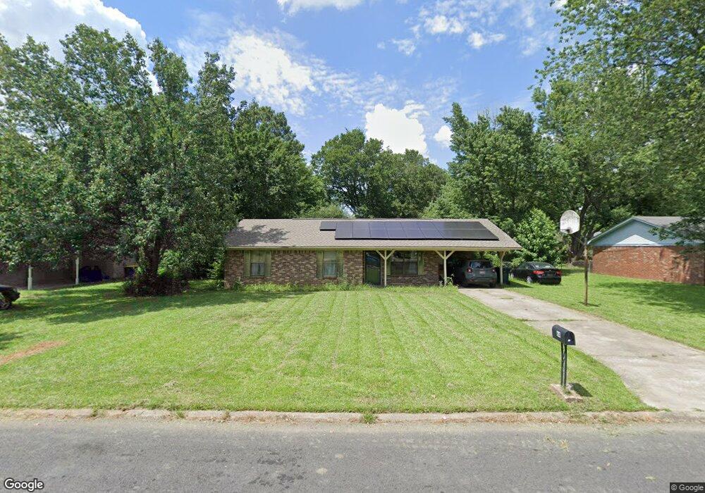
This home is located at 64 Liberty Ln, Cabot, AR 72023 and is currently estimated at $135,098, approximately $111 per square foot. 64 Liberty Ln is a home located in Lonoke County with nearby schools including Central Elementary School, Cabot Junior High South, and Cabot Middle School South.
Ownership History
Date
Name
Owned For
Owner Type
Purchase Details
Closed on
Sep 5, 1997
Bought by
Taylor and Taylor Wife
Current Estimated Value
Purchase Details
Closed on
Sep 21, 1994
Bought by
Fletcher and Wife Angela
Purchase Details
Closed on
Sep 9, 1988
Bought by
Marshall
Purchase Details
Closed on
Nov 12, 1987
Bought by
Hud
Purchase Details
Closed on
Nov 3, 1987
Bought by
Bright Mtg
Purchase Details
Closed on
Aug 15, 1984
Bought by
Osborne
Purchase Details
Closed on
Jun 17, 1982
Bought by
Vazquez
Purchase Details
Closed on
Mar 16, 1982
Bought by
George
Create a Home Valuation Report for This Property
The Home Valuation Report is an in-depth analysis detailing your home's value as well as a comparison with similar homes in the area
Purchase History
| Date | Buyer | Sale Price | Title Company |
|---|---|---|---|
| Taylor | $58,000 | -- | |
| Taylor | $58,000 | -- | |
| Fletcher | $53,000 | -- | |
| Marshall | $15,000 | -- | |
| Hud | -- | -- | |
| Bright Mtg | -- | -- | |
| Osborne | $42,600 | -- | |
| Vazquez | $41,000 | -- | |
| George | $7,000 | -- |
Source: Public Records
Tax History
| Year | Tax Paid | Tax Assessment Tax Assessment Total Assessment is a certain percentage of the fair market value that is determined by local assessors to be the total taxable value of land and additions on the property. | Land | Improvement |
|---|---|---|---|---|
| 2025 | $269 | $13,640 | $2,000 | $11,640 |
| 2024 | $269 | $13,640 | $2,000 | $11,640 |
| 2023 | $269 | $13,640 | $2,000 | $11,640 |
| 2022 | $319 | $13,640 | $2,000 | $11,640 |
| 2021 | $319 | $13,640 | $2,000 | $11,640 |
| 2020 | $301 | $13,280 | $2,000 | $11,280 |
| 2019 | $301 | $13,280 | $2,000 | $11,280 |
| 2018 | $306 | $13,280 | $2,000 | $11,280 |
| 2017 | $610 | $13,280 | $2,000 | $11,280 |
| 2016 | $306 | $13,280 | $2,000 | $11,280 |
| 2015 | $646 | $14,070 | $2,000 | $12,070 |
| 2014 | $345 | $14,070 | $2,000 | $12,070 |
Source: Public Records
Map
Nearby Homes
- 57 Meadowlark Dr
- 51 Meadowlark Dr
- 16 Meadowlark Dr
- 49 Oak Meadows Dr
- 92 Sycamore Cir
- 37 Pond St
- 40 Bent Tree Dr
- 34 Bent Tree Dr
- 23 Robinson St
- 19 Sycamore St
- 509 E Myrtle St
- 00 Plaza Blvd
- 00 Kerr Station Rd
- 113 Walnut St
- 110 N Monroe St
- 109 Pin Oak Dr
- 20 Paige Ave
- 211 N Jackson St
- 20 Lillie St
- 28 Pheasant Run Dr
Your Personal Tour Guide
Ask me questions while you tour the home.