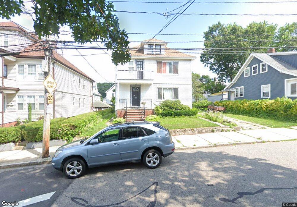
64 Lorna Rd Mattapan, MA 02126
Southern Mattapan NeighborhoodEstimated Value: $698,622 - $903,000
4
Beds
2
Baths
2,236
Sq Ft
$352/Sq Ft
Est. Value
About This Home
This home is located at 64 Lorna Rd, Mattapan, MA 02126 and is currently estimated at $787,406, approximately $352 per square foot. 64 Lorna Rd is a home located in Suffolk County with nearby schools including KIPP Academy Boston Charter School and Berea Seventh-day Adventist Academy.
Ownership History
Date
Name
Owned For
Owner Type
Purchase Details
Closed on
Jul 16, 2008
Sold by
Peters La-Connia
Bought by
Peters Robert R
Current Estimated Value
Create a Home Valuation Report for This Property
The Home Valuation Report is an in-depth analysis detailing your home's value as well as a comparison with similar homes in the area
Home Values in the Area
Average Home Value in this Area
Purchase History
| Date | Buyer | Sale Price | Title Company |
|---|---|---|---|
| Peters Robert R | -- | -- |
Source: Public Records
Tax History Compared to Growth
Tax History
| Year | Tax Paid | Tax Assessment Tax Assessment Total Assessment is a certain percentage of the fair market value that is determined by local assessors to be the total taxable value of land and additions on the property. | Land | Improvement |
|---|---|---|---|---|
| 2025 | $7,006 | $605,000 | $190,400 | $414,600 |
| 2024 | $6,312 | $579,100 | $169,300 | $409,800 |
| 2023 | $5,603 | $521,700 | $156,800 | $364,900 |
| 2022 | $5,676 | $521,700 | $156,800 | $364,900 |
| 2021 | $5,252 | $492,200 | $147,900 | $344,300 |
| 2020 | $4,008 | $379,500 | $126,000 | $253,500 |
| 2019 | $3,572 | $338,900 | $95,400 | $243,500 |
| 2018 | $3,349 | $319,600 | $95,400 | $224,200 |
| 2017 | $3,254 | $307,300 | $95,400 | $211,900 |
| 2016 | $3,159 | $287,200 | $95,400 | $191,800 |
| 2015 | $3,191 | $263,500 | $100,200 | $163,300 |
| 2014 | $2,959 | $235,200 | $100,200 | $135,000 |
Source: Public Records
Map
Nearby Homes
- 68 Lorna Rd
- 60 Lorna Rd
- 25 Stow Rd
- 21 Stow Rd Unit 23
- 72 Lorna Rd Unit 74
- 31 Stow Rd Unit 33
- 31 Stow Rd Unit 1
- 17 Stow Rd Unit 19
- 17-19 Stow Rd
- 37 Stow Rd
- 65 Lorna Rd
- 65 Lorna Rd Unit 2
- 59 Lorna Rd Unit 1
- 59 Lorna Rd Unit 61
- 61 Lorna Rd Unit 1
- 59 Lorna Rd
- 61 Lorna Rd
- 59 Lorna Rd Unit 2
- 76 Lorna Rd Unit 78
- 45 Stow Rd