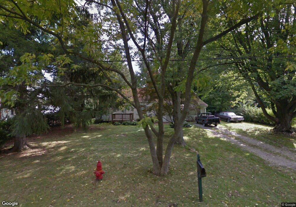
64 Lyndale Dr Painesville, OH 44077
Estimated Value: $187,637 - $218,000
3
Beds
1
Bath
1,299
Sq Ft
$161/Sq Ft
Est. Value
About This Home
This home is located at 64 Lyndale Dr, Painesville, OH 44077 and is currently estimated at $208,659, approximately $160 per square foot. 64 Lyndale Dr is a home located in Lake County with nearby schools including Henry F. Lamuth Middle School, Riverside Junior/Senior High School, and Summit Academy Community School - Painesville.
Ownership History
Date
Name
Owned For
Owner Type
Purchase Details
Closed on
Jul 1, 1996
Sold by
Buehner Shirley A
Bought by
Mcgraw Shawn J
Current Estimated Value
Home Financials for this Owner
Home Financials are based on the most recent Mortgage that was taken out on this home.
Original Mortgage
$74,949
Outstanding Balance
$5,366
Interest Rate
8.13%
Mortgage Type
FHA
Estimated Equity
$203,293
Create a Home Valuation Report for This Property
The Home Valuation Report is an in-depth analysis detailing your home's value as well as a comparison with similar homes in the area
Home Values in the Area
Average Home Value in this Area
Purchase History
| Date | Buyer | Sale Price | Title Company |
|---|---|---|---|
| Mcgraw Shawn J | $75,000 | -- |
Source: Public Records
Mortgage History
| Date | Status | Borrower | Loan Amount |
|---|---|---|---|
| Open | Mcgraw Shawn J | $74,949 |
Source: Public Records
Tax History Compared to Growth
Tax History
| Year | Tax Paid | Tax Assessment Tax Assessment Total Assessment is a certain percentage of the fair market value that is determined by local assessors to be the total taxable value of land and additions on the property. | Land | Improvement |
|---|---|---|---|---|
| 2024 | -- | $50,500 | $14,050 | $36,450 |
| 2023 | $3,764 | $34,540 | $10,190 | $24,350 |
| 2022 | $2,271 | $32,210 | $10,190 | $22,020 |
| 2021 | $2,250 | $32,210 | $10,190 | $22,020 |
| 2020 | $2,201 | $28,010 | $8,860 | $19,150 |
| 2019 | $1,934 | $28,010 | $8,860 | $19,150 |
| 2018 | $2,096 | $29,560 | $8,840 | $20,720 |
| 2017 | $2,257 | $29,560 | $8,840 | $20,720 |
| 2016 | $2,012 | $29,560 | $8,840 | $20,720 |
| 2015 | $1,692 | $29,560 | $8,840 | $20,720 |
| 2014 | $1,720 | $29,560 | $8,840 | $20,720 |
| 2013 | $1,681 | $29,560 | $8,840 | $20,720 |
Source: Public Records
Map
Nearby Homes
- 108 Birch Dr
- 269 Hale Rd
- 808 N Creek Dr
- 1787 Muirfield Ln
- 634 N Creek Dr
- 720 N Creek Dr
- 1809 Muirfield Ln
- 1978 Marsh Ln Unit 1978
- 1865 Marsh Ln Unit 1865
- 4505 Lane Rd
- 0 N Ridge Rd Unit 5110949
- 525 Morgan Dr
- 1806 Muirfield Ln
- 500 Park Rd
- 751 Bacon Rd
- 1791 Muirfield Ln
- 1788 Kirtstone Terrace
- 4300 Florida St
- V/L Morgan Dr
- 547 Greenside Dr