64 Martha Way Thomaston, CT 06787
Estimated Value: $549,531 - $660,000
3
Beds
3
Baths
2,720
Sq Ft
$227/Sq Ft
Est. Value
About This Home
This home is located at 64 Martha Way, Thomaston, CT 06787 and is currently estimated at $617,133, approximately $226 per square foot. 64 Martha Way is a home located in Litchfield County with nearby schools including Black Rock School, Thomaston Center School, and Thomaston High School.
Ownership History
Date
Name
Owned For
Owner Type
Purchase Details
Closed on
Mar 1, 2007
Sold by
Touponse 3Rd George and Touponse Susan
Bought by
Saunders Robert and Saunders Lisa
Current Estimated Value
Home Financials for this Owner
Home Financials are based on the most recent Mortgage that was taken out on this home.
Original Mortgage
$324,000
Interest Rate
6.27%
Create a Home Valuation Report for This Property
The Home Valuation Report is an in-depth analysis detailing your home's value as well as a comparison with similar homes in the area
Home Values in the Area
Average Home Value in this Area
Purchase History
| Date | Buyer | Sale Price | Title Company |
|---|---|---|---|
| Saunders Robert | $405,000 | -- |
Source: Public Records
Mortgage History
| Date | Status | Borrower | Loan Amount |
|---|---|---|---|
| Open | Saunders Robert | $296,500 | |
| Closed | Saunders Robert | $312,632 | |
| Closed | Saunders Robert | $26,000 | |
| Closed | Saunders Robert | $324,000 |
Source: Public Records
Tax History Compared to Growth
Tax History
| Year | Tax Paid | Tax Assessment Tax Assessment Total Assessment is a certain percentage of the fair market value that is determined by local assessors to be the total taxable value of land and additions on the property. | Land | Improvement |
|---|---|---|---|---|
| 2025 | $8,931 | $249,410 | $66,430 | $182,980 |
| 2024 | $8,570 | $249,410 | $66,430 | $182,980 |
| 2023 | $8,388 | $249,410 | $66,430 | $182,980 |
| 2022 | $8,009 | $249,410 | $66,430 | $182,980 |
| 2021 | $8,318 | $230,230 | $63,280 | $166,950 |
| 2020 | $8,318 | $230,230 | $63,280 | $166,950 |
| 2019 | $8,410 | $230,230 | $63,280 | $166,950 |
| 2018 | $8,240 | $230,230 | $63,280 | $166,950 |
| 2017 | $8,070 | $230,230 | $63,280 | $166,950 |
| 2016 | $7,839 | $230,090 | $66,080 | $164,010 |
| 2015 | $7,738 | $230,090 | $66,080 | $164,010 |
| 2014 | $7,738 | $230,090 | $66,080 | $164,010 |
Source: Public Records
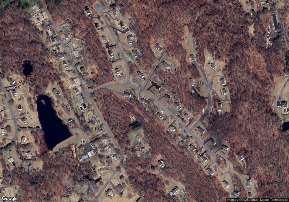
Map
Nearby Homes