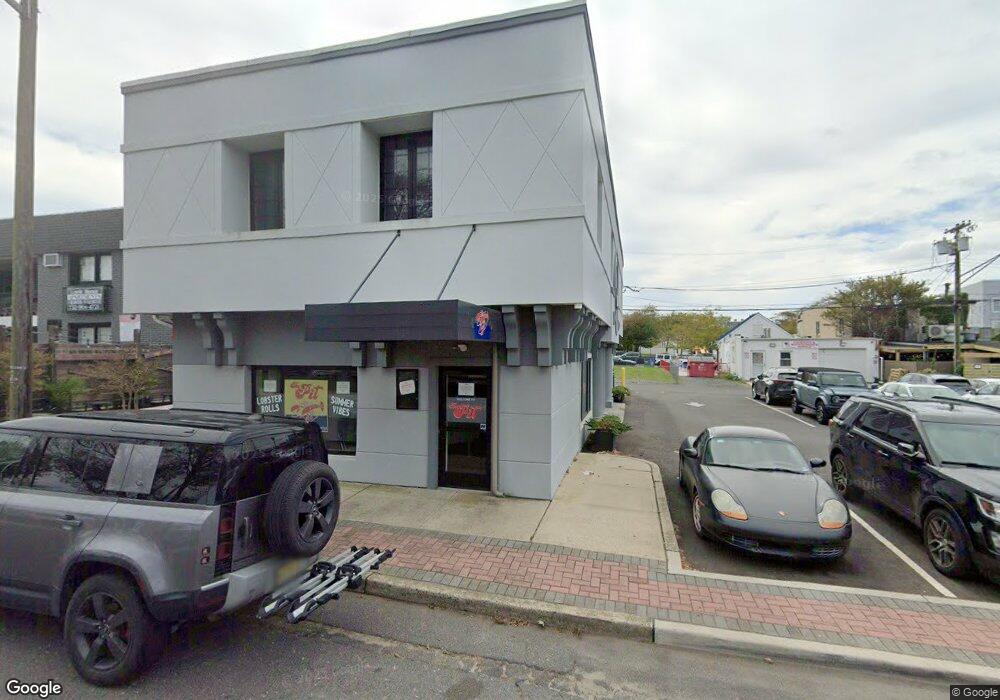
64 Montgomery Ave Long Branch, NJ 07740
Estimated Value: $1,191,430
--
Bed
--
Bath
650
Sq Ft
$1,833/Sq Ft
Est. Value
About This Home
This home is located at 64 Montgomery Ave, Long Branch, NJ 07740 and is currently estimated at $1,191,430, approximately $1,832 per square foot. 64 Montgomery Ave is a home located in Monmouth County with nearby schools including Long Branch High School, Holy Trinity School, and Bet Yaakov of the Jersey Shore.
Ownership History
Date
Name
Owned For
Owner Type
Purchase Details
Closed on
Dec 14, 2017
Sold by
Gary D Katz
Bought by
Montgomery 64 Llc
Current Estimated Value
Home Financials for this Owner
Home Financials are based on the most recent Mortgage that was taken out on this home.
Original Mortgage
$495,000
Outstanding Balance
$416,854
Interest Rate
3.95%
Mortgage Type
New Conventional
Estimated Equity
$774,576
Purchase Details
Closed on
Sep 3, 1996
Sold by
Clover Leaf Dev Corp
Bought by
Katz Lawrence
Create a Home Valuation Report for This Property
The Home Valuation Report is an in-depth analysis detailing your home's value as well as a comparison with similar homes in the area
Home Values in the Area
Average Home Value in this Area
Purchase History
| Date | Buyer | Sale Price | Title Company |
|---|---|---|---|
| Montgomery 64 Llc | $600,000 | None Available | |
| Katz Lawrence | $90,000 | -- |
Source: Public Records
Mortgage History
| Date | Status | Borrower | Loan Amount |
|---|---|---|---|
| Open | Montgomery 64 Llc | $495,000 |
Source: Public Records
Tax History Compared to Growth
Tax History
| Year | Tax Paid | Tax Assessment Tax Assessment Total Assessment is a certain percentage of the fair market value that is determined by local assessors to be the total taxable value of land and additions on the property. | Land | Improvement |
|---|---|---|---|---|
| 2025 | $12,723 | $843,700 | $410,400 | $433,300 |
| 2024 | $11,888 | $827,800 | $392,400 | $435,400 |
| 2023 | $11,888 | $765,500 | $378,900 | $386,600 |
| 2022 | $12,646 | $662,300 | $357,500 | $304,800 |
| 2021 | $12,646 | $632,000 | $342,200 | $289,800 |
| 2020 | $12,672 | $606,300 | $339,500 | $266,800 |
| 2019 | $12,324 | $586,300 | $339,500 | $246,800 |
| 2018 | $11,957 | $565,600 | $318,800 | $246,800 |
| 2017 | $11,583 | $562,000 | $315,200 | $246,800 |
| 2016 | $11,394 | $563,800 | $317,000 | $246,800 |
| 2015 | $11,583 | $520,100 | $285,800 | $234,300 |
| 2014 | $11,816 | $559,200 | $324,900 | $234,300 |
Source: Public Records
Map
Nearby Homes
- 107 W End Ave
- 21 Riviera Dr
- 665 2nd Ave Unit 309
- 665 2nd Ave Unit 202
- 665 2nd Ave Unit 310
- 665 2nd Ave Unit 303
- 665 2nd Ave Unit 201
- 675 Ocean Ave Unit 9F
- 675 Ocean Ave Unit 5J
- 675 Ocean Ave Unit 4I
- 717 Ocean Ave Unit 705
- 510 Ocean Ave N Unit 10
- 119 Avery Ave Unit H21
- 65 Cedar Ave Unit C11
- 480 Ocean Ave Unit 2K
- 35 Sternberger Ave Unit P
- 464 2nd Ave
- 735 Greens Ave Unit 18A
- 631 Hoey Ave
- 787 Ocean Ave Unit 608
- 64 Montgomery Ave Unit 4
- 64 Montgomery Ave Unit 2B
- 63 Brighton Ave
- 63 Brighton Ave
- 57-61 Brighton Ave Unit 403
- 57-61 Brighton Ave Unit 304
- 57-61 Brighton Ave Unit 401
- 57-61 Brighton Ave Unit 204
- 57-61 Brighton Ave Unit 402
- 57-61 Brighton Ave Unit 301
- 57 Brighton Ave Unit 204
- 57 Brighton Ave Unit 404
- 57 Brighton Ave Unit 201
- 57 Brighton Ave Unit 402
- 57 Brighton Ave Unit 403
- 57 Brighton Ave Unit 401
- 57 Brighton Ave Unit 304
- 57 Brighton Ave Unit 301
- 57 Brighton Ave
- 61 Brighton Ave