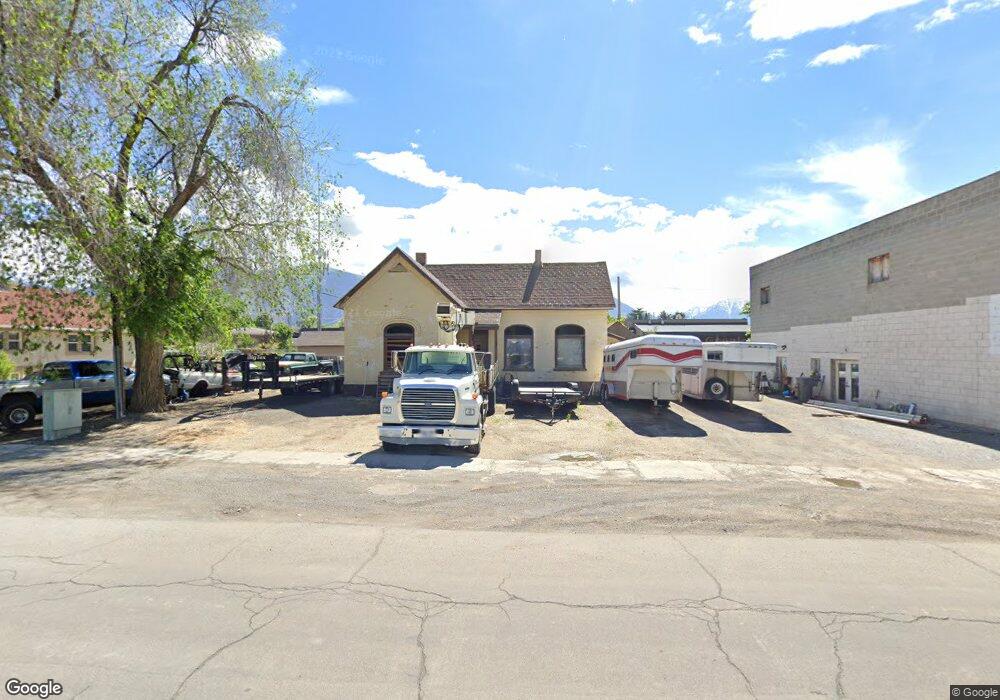
64 N 100 W American Fork, UT 84003
Estimated Value: $369,000 - $440,000
2
Beds
1
Bath
995
Sq Ft
$403/Sq Ft
Est. Value
About This Home
This home is located at 64 N 100 W, American Fork, UT 84003 and is currently estimated at $400,992, approximately $403 per square foot. 64 N 100 W is a home located in Utah County with nearby schools including American Fork Junior High School, American Fork High School, and Athenian eAcademy.
Ownership History
Date
Name
Owned For
Owner Type
Purchase Details
Closed on
Jun 27, 2007
Sold by
Mitchell Dixie H and Estate Of Richard P Mitchell
Bought by
Mitchell Dixie H and Dixie H Mitchell Trust
Current Estimated Value
Purchase Details
Closed on
Apr 21, 2006
Sold by
Pace Ramie S
Bought by
Mitchell Dixie H and Estate Of Richard P Mitchell
Purchase Details
Closed on
Apr 4, 2001
Sold by
Morrill Troy C
Bought by
Pace Ramie S
Create a Home Valuation Report for This Property
The Home Valuation Report is an in-depth analysis detailing your home's value as well as a comparison with similar homes in the area
Home Values in the Area
Average Home Value in this Area
Purchase History
| Date | Buyer | Sale Price | Title Company |
|---|---|---|---|
| Mitchell Dixie H | -- | None Available | |
| Mitchell Dixie H | -- | First American Title Agency | |
| Pace Ramie S | -- | First American Title Insuran |
Source: Public Records
Tax History Compared to Growth
Tax History
| Year | Tax Paid | Tax Assessment Tax Assessment Total Assessment is a certain percentage of the fair market value that is determined by local assessors to be the total taxable value of land and additions on the property. | Land | Improvement |
|---|---|---|---|---|
| 2025 | $2,264 | $274,300 | $199,200 | $75,100 |
| 2024 | $2,264 | $251,500 | $0 | $0 |
| 2023 | $2,103 | $247,700 | $0 | $0 |
| 2022 | $2,158 | $250,900 | $200,100 | $50,800 |
| 2021 | $1,813 | $181,100 | $142,900 | $38,200 |
| 2020 | $1,679 | $162,600 | $127,600 | $35,000 |
| 2019 | $1,102 | $200,700 | $109,400 | $91,300 |
| 2018 | $1,021 | $177,800 | $98,400 | $79,400 |
| 2017 | $973 | $91,465 | $0 | $0 |
| 2016 | $911 | $79,530 | $0 | $0 |
| 2015 | $960 | $79,530 | $0 | $0 |
| 2014 | $948 | $77,495 | $0 | $0 |
Source: Public Records
Map
Nearby Homes
- 129 W Pacific Dr
- 105 N 100 W
- 148 N 100 E
- 161 N Grant Ave
- 146 N Grant Ave
- 171 S Center St
- 195 S Center St
- 946 S 290 W
- 365 N 100 W
- 351 Washington Ave
- 120 N 350 W Unit 133
- 120 N 350 W Unit 130
- 370 W Pacific Dr Unit 1
- 374 N Center St
- 82 S Lincoln Ave
- 429 W 90 N
- 399 W Pacific Dr
- 217 W Main St
- 55 Roosevelt Ave
- 396 N 100 E