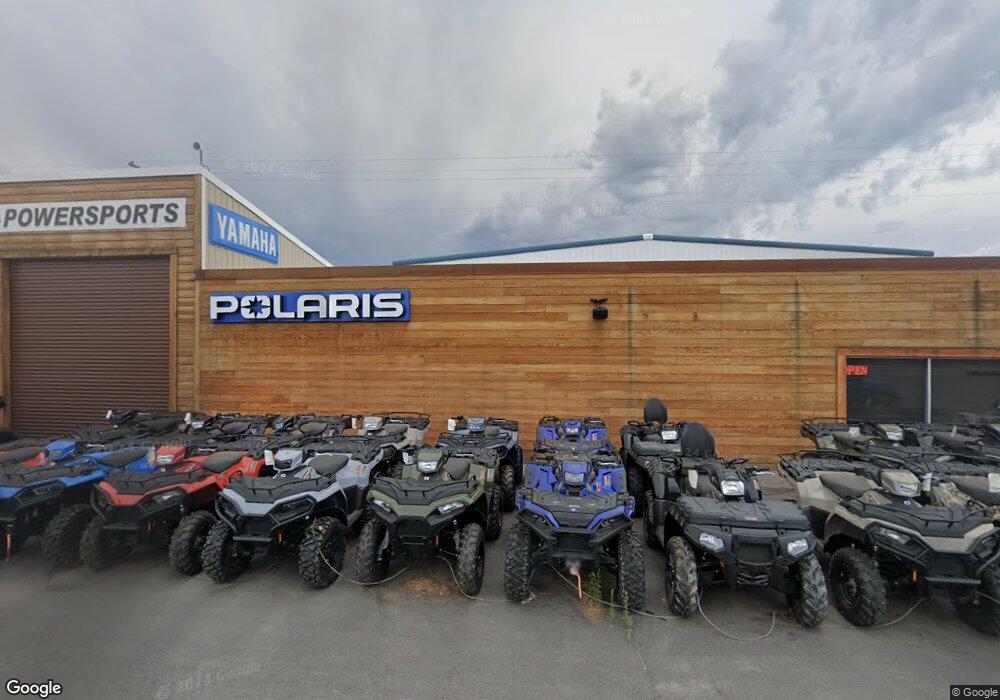
64 N Highway 20 Ashton, ID 83420
--
Bed
--
Bath
--
Sq Ft
0.5
Acres
About This Home
This home is located at 64 N Highway 20, Ashton, ID 83420. 64 N Highway 20 is a home located in Fremont County with nearby schools including Ashton Elementary School and North Fremont Junior/Senior High School.
Ownership History
Date
Name
Owned For
Owner Type
Purchase Details
Closed on
Jul 28, 2021
Sold by
Fronk Family Rentals Llc
Bought by
Powersports Properties Idaho Llc
Home Financials for this Owner
Home Financials are based on the most recent Mortgage that was taken out on this home.
Original Mortgage
$501,000
Outstanding Balance
$456,243
Interest Rate
3%
Mortgage Type
Commercial
Purchase Details
Closed on
Aug 29, 2008
Sold by
Lyford Eugene and Lyford Phyllis
Bought by
Cbr Llc
Create a Home Valuation Report for This Property
The Home Valuation Report is an in-depth analysis detailing your home's value as well as a comparison with similar homes in the area
Home Values in the Area
Average Home Value in this Area
Purchase History
| Date | Buyer | Sale Price | Title Company |
|---|---|---|---|
| Powersports Properties Idaho Llc | -- | Old Republic Title | |
| Cbr Llc | -- | -- |
Source: Public Records
Mortgage History
| Date | Status | Borrower | Loan Amount |
|---|---|---|---|
| Open | Powersports Properties Idaho Llc | $501,000 |
Source: Public Records
Tax History Compared to Growth
Tax History
| Year | Tax Paid | Tax Assessment Tax Assessment Total Assessment is a certain percentage of the fair market value that is determined by local assessors to be the total taxable value of land and additions on the property. | Land | Improvement |
|---|---|---|---|---|
| 2025 | $3,105 | $280,190 | $49,790 | $230,400 |
| 2024 | $3,105 | $280,190 | $49,790 | $230,400 |
| 2023 | $2,437 | $208,766 | $49,790 | $158,976 |
| 2022 | $1,854 | $105,690 | $49,790 | $55,900 |
| 2021 | $1,833 | $81,381 | $38,338 | $43,043 |
| 2020 | $1,875 | $81,381 | $38,338 | $43,043 |
| 2019 | $1,849 | $81,381 | $38,338 | $43,043 |
| 2018 | $1,893 | $81,381 | $38,338 | $43,043 |
| 2017 | $21 | $81,381 | $38,338 | $43,043 |
| 2016 | $2,025 | $81,381 | $38,338 | $43,043 |
| 2015 | $2,184 | $81,381 | $0 | $0 |
| 2014 | $1,696 | $81,381 | $0 | $0 |
| 2013 | $1,696 | $81,381 | $0 | $0 |
Source: Public Records
Map
Nearby Homes
- L2 BLK 1 E 1300 Rd N
- 417 Main St
- 137 Spruce St
- 1189 N Sunflower Ln
- 511 Id-47
- 641 Fremont St
- 540 N 4th St Unit 4
- 540 N 4th St Unit 3
- 540 N 4th St Unit 2
- 268 10th St
- LOTS 1-3 E 1300 Rd N
- 1413 U S 20
- 3660 E 1312 N
- TBD Annies Landing
- 1331 N 3687 E
- 3706 E 1300 Rd N
- 1387 Cedar Lake Ln
- 3660 E 1100 N
- 3656 Fishermans Dr
- TBD Fishermans Dr
- 64 U S 20
- 000 Hwy 20-26
- 20.76 Ac Hwy 20 26
- TBD Highway 20-26
- TBD Us Hwy 20-26
- 0 Us Hwy 20-26 & Conway Unit 98369797
- 26 N Hwy 20
- 3495 E 1300 N
- 1311 U S 20
- 1311 Highway 20
- 3300 E E 1300 Rd N
- 3415 E 1300 Rd N
- LOTS 1-4 E 1300 Rd N
- L4 BLK 1 E 1300 Rd N
- 57.12 Ac E 1300 Rd N
- 134 AC E 1300 Rd N
- 72 Acres E 1300 Rd N
- 1.60 E 1300 Rd N
- 71 Acres E 1300 Rd N
- 65 Acres E 1300 Rd N