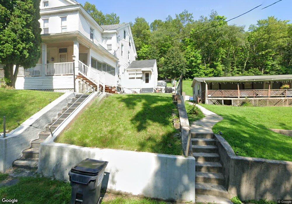
64 New Mines Rd Pottsville, PA 17901
Estimated Value: $74,000 - $142,000
3
Beds
1
Bath
1,975
Sq Ft
$56/Sq Ft
Est. Value
About This Home
This home is located at 64 New Mines Rd, Pottsville, PA 17901 and is currently estimated at $110,755, approximately $56 per square foot. 64 New Mines Rd is a home with nearby schools including Saint Clair Area Elementary/Middle School, Gillingham Charter School, and ASSUMPTION BVM SCHOOL.
Ownership History
Date
Name
Owned For
Owner Type
Purchase Details
Closed on
Jun 14, 2022
Sold by
George Vincent
Bought by
Kattner William John and Kattner Rachael Jewel
Current Estimated Value
Home Financials for this Owner
Home Financials are based on the most recent Mortgage that was taken out on this home.
Original Mortgage
$50,127
Outstanding Balance
$47,625
Interest Rate
5.1%
Mortgage Type
VA
Estimated Equity
$63,130
Purchase Details
Closed on
Jun 18, 2010
Sold by
Groody Joseph G
Bought by
Deutsche Bank National Trust Co
Create a Home Valuation Report for This Property
The Home Valuation Report is an in-depth analysis detailing your home's value as well as a comparison with similar homes in the area
Home Values in the Area
Average Home Value in this Area
Purchase History
| Date | Buyer | Sale Price | Title Company |
|---|---|---|---|
| Kattner William John | $49,000 | None Listed On Document | |
| Deutsche Bank National Trust Co | $1,113 | None Available |
Source: Public Records
Mortgage History
| Date | Status | Borrower | Loan Amount |
|---|---|---|---|
| Open | Kattner William John | $50,127 |
Source: Public Records
Tax History Compared to Growth
Tax History
| Year | Tax Paid | Tax Assessment Tax Assessment Total Assessment is a certain percentage of the fair market value that is determined by local assessors to be the total taxable value of land and additions on the property. | Land | Improvement |
|---|---|---|---|---|
| 2025 | $1,371 | $18,180 | $1,750 | $16,430 |
| 2024 | $1,285 | $18,180 | $1,750 | $16,430 |
| 2023 | $1,239 | $18,180 | $1,750 | $16,430 |
| 2022 | $1,185 | $18,180 | $1,750 | $16,430 |
| 2021 | $1,164 | $18,180 | $1,750 | $16,430 |
| 2020 | $1,164 | $18,180 | $1,750 | $16,430 |
| 2018 | $1,164 | $18,180 | $1,750 | $16,430 |
| 2017 | $1,182 | $18,180 | $1,750 | $16,430 |
| 2015 | -- | $18,180 | $1,750 | $16,430 |
| 2011 | -- | $18,180 | $0 | $0 |
Source: Public Records
Map
Nearby Homes
- 438 S Front St
- 219 S 3rd St
- 320 S Mill St
- 122 S 3rd St
- 101 S 2nd St
- 20 S 2nd St
- 32 S Front St
- 108 Cherry St
- 48 N 2nd St
- 225 Cherry St
- 702 & 698 Port Carbon St Clair Hwy
- 212 Broad St
- 0 Caroline Ave Unit PASK2022658
- 665 Port Carbon Saint Clair Hwy
- 145 Chamberlaine Ave
- 311 Broad St
- 144 N Mill St
- 309 Chestnut St
- Lot 30 Elmwood Ct
- 0 - Lot 10 Elmwood Ct Unit 10