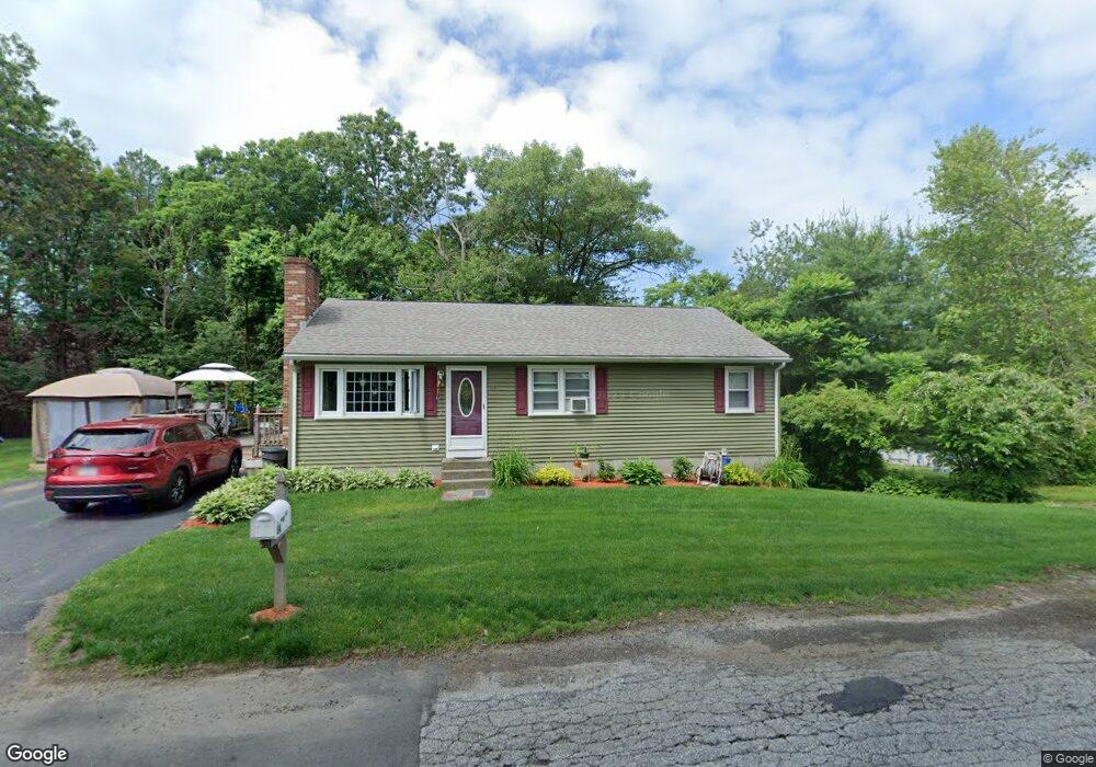
64 Oak Pond Ave Millbury, MA 01527
Estimated Value: $445,125 - $513,000
3
Beds
1
Bath
1,176
Sq Ft
$408/Sq Ft
Est. Value
About This Home
This home is located at 64 Oak Pond Ave, Millbury, MA 01527 and is currently estimated at $479,531, approximately $407 per square foot. 64 Oak Pond Ave is a home located in Worcester County with nearby schools including Elmwood Street Elementary School, Raymond E. Shaw Elementary School, and Millbury Junior/Senior High School.
Ownership History
Date
Name
Owned For
Owner Type
Purchase Details
Closed on
Sep 1, 1992
Sold by
Beatty Mark P and Beatty Wanda
Bought by
King Paul M and King Barbara
Current Estimated Value
Home Financials for this Owner
Home Financials are based on the most recent Mortgage that was taken out on this home.
Original Mortgage
$87,500
Interest Rate
8.09%
Mortgage Type
Purchase Money Mortgage
Create a Home Valuation Report for This Property
The Home Valuation Report is an in-depth analysis detailing your home's value as well as a comparison with similar homes in the area
Home Values in the Area
Average Home Value in this Area
Purchase History
| Date | Buyer | Sale Price | Title Company |
|---|---|---|---|
| King Paul M | $97,000 | -- | |
| King Paul M | $97,000 | -- |
Source: Public Records
Mortgage History
| Date | Status | Borrower | Loan Amount |
|---|---|---|---|
| Closed | King Paul M | $87,500 |
Source: Public Records
Tax History Compared to Growth
Tax History
| Year | Tax Paid | Tax Assessment Tax Assessment Total Assessment is a certain percentage of the fair market value that is determined by local assessors to be the total taxable value of land and additions on the property. | Land | Improvement |
|---|---|---|---|---|
| 2025 | $5,256 | $392,500 | $117,900 | $274,600 |
| 2024 | $4,820 | $364,300 | $109,100 | $255,200 |
| 2023 | $4,360 | $301,700 | $76,400 | $225,300 |
| 2022 | $4,223 | $281,500 | $76,400 | $205,100 |
| 2021 | $10,279 | $268,000 | $76,400 | $191,600 |
| 2020 | $4,032 | $263,000 | $76,400 | $186,600 |
| 2019 | $3,871 | $244,200 | $69,400 | $174,800 |
| 2018 | $9,563 | $222,300 | $69,400 | $152,900 |
| 2017 | $3,486 | $212,200 | $69,400 | $142,800 |
| 2016 | $3,381 | $205,400 | $69,400 | $136,000 |
| 2015 | $3,401 | $206,600 | $74,000 | $132,600 |
| 2014 | $3,217 | $188,100 | $74,000 | $114,100 |
Source: Public Records
Map
Nearby Homes
- 11 Westview Ave
- 2 Diane St
- 1 Pineland Ave
- 86 Wheelock Ave
- 12 Irene Ct
- 3 May St
- 1 Broadmeadow Ave
- 330 Millbury Ave
- 12 Alstead Path
- 497 Massasoit Rd
- 90 Macarthur Dr
- 27 A-B Grafton St
- 232 Weatherstone Dr
- 76 Weatherstone Dr
- 11 Maplewood Rd
- 3 Stidsen Way
- 1203 Grafton St Unit 38
- 1201 Grafton St Unit 73
- 1195 Grafton St Unit 3
- 11 Margin St
- 62 Oak Pond Ave
- 63 Oak Pond Ave
- 65 Oak Pond Ave
- 2 Oak Pond Ave
- 59 Oak Pond Ave Unit 61
- 3 Westview Ave
- 5 Westview Ave
- 1 Westview Ave
- 1 Westview Ave Unit 1
- 1 Westview Ave
- 9 Westview Ave
- 57 Oak Pond Ave Unit A
- 57-A B Oak Pond Ave
- 21 Rindge St
- 52 Oak Pond Ave
- 19 Rindge St
- 55 Oak Pond Ave
- 2 Westview Ave
- 4 Westview Ave
- 6 Westview Ave