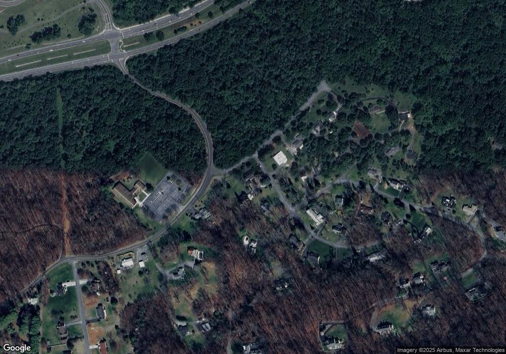
64 Old Browntown Rd Front Royal, VA 22630
Estimated Value: $635,000 - $773,000
3
Beds
2
Baths
3,608
Sq Ft
$204/Sq Ft
Est. Value
About This Home
This home is located at 64 Old Browntown Rd, Front Royal, VA 22630 and is currently estimated at $735,727, approximately $203 per square foot. 64 Old Browntown Rd is a home located in Warren County with nearby schools including Ressie Jeffries Elementary School, Warren County High School, and Mountain Laurel Montessori School.
Ownership History
Date
Name
Owned For
Owner Type
Purchase Details
Closed on
Jun 25, 2010
Sold by
Biggs Kathy S and Biggs William J
Bought by
Biggs William J
Current Estimated Value
Home Financials for this Owner
Home Financials are based on the most recent Mortgage that was taken out on this home.
Original Mortgage
$217,650
Interest Rate
7%
Mortgage Type
New Conventional
Create a Home Valuation Report for This Property
The Home Valuation Report is an in-depth analysis detailing your home's value as well as a comparison with similar homes in the area
Home Values in the Area
Average Home Value in this Area
Purchase History
| Date | Buyer | Sale Price | Title Company |
|---|---|---|---|
| Biggs William J | -- | -- |
Source: Public Records
Mortgage History
| Date | Status | Borrower | Loan Amount |
|---|---|---|---|
| Closed | Biggs William J | $217,650 |
Source: Public Records
Tax History Compared to Growth
Tax History
| Year | Tax Paid | Tax Assessment Tax Assessment Total Assessment is a certain percentage of the fair market value that is determined by local assessors to be the total taxable value of land and additions on the property. | Land | Improvement |
|---|---|---|---|---|
| 2025 | $4,353 | $908,740 | $105,800 | $802,940 |
| 2024 | $4,244 | $800,800 | $115,000 | $685,800 |
| 2023 | $3,924 | $800,800 | $115,000 | $685,800 |
| 2022 | $4,169 | $636,500 | $100,000 | $536,500 |
| 2021 | $95 | $636,500 | $100,000 | $536,500 |
| 2020 | $4,169 | $636,500 | $100,000 | $536,500 |
| 2019 | $4,169 | $636,500 | $100,000 | $536,500 |
| 2018 | $3,825 | $579,500 | $100,000 | $479,500 |
| 2017 | $3,767 | $579,500 | $100,000 | $479,500 |
| 2016 | $3,593 | $579,500 | $100,000 | $479,500 |
| 2015 | -- | $579,500 | $100,000 | $479,500 |
| 2014 | -- | $470,800 | $67,300 | $403,500 |
Source: Public Records
Map
Nearby Homes
- 0 Greystone Dr Unit VAWR2012148
- 10358 Stonewall Jackson Hwy
- 704 Parkview Dr
- 427 Hill St
- 211 Laurel St
- 409 Duncan Ave
- 217 Laurel St
- 360 Cloud St
- 403 Kerfoot Ave
- 214 Lee St
- 305 Prospect St
- 0 Old Cave Rd
- 334 Cherrydale Ave
- 512 Short St
- 166 Kerfoot Ave
- 0 Orchard St
- 0 Hatcher Dr Unit VAWR2012842
- 308 W Main St
- 20 Blue Ridge Ave
- 404 Viscose Ave
- 89 Browntown Rd
- 9 Browntown
- 54 Walnut Dr
- 8 Browntown Rd
- 130 Old Browntown Rd Unit 1
- 130 Old Browntown Rd
- 7162 Browntown Rd
- 361 Walnut Dr
- 60 Scarlet Oak Ct
- 160 Old Browntown Rd
- 97 Walnut Dr
- 102 Walnut Dr
- 348 Walnut Dr
- 25 Sweetbrier Ct
- 0 Sweetbrier Ct Unit WR9973522
- 0 Sweetbrier Ct Unit VAWR2008648
- 0 Sweetbrier Ct Unit VAWR139072
- 0 Sweetbrier Ct Unit VAWR137082
- 145 Walnut Dr
- 186 Old Browntown Rd
