64 Par Ln Tewksbury, MA 01876
Estimated Value: $562,000 - $601,000
2
Beds
2
Baths
1,488
Sq Ft
$391/Sq Ft
Est. Value
About This Home
This home is located at 64 Par Ln, Tewksbury, MA 01876 and is currently estimated at $581,301, approximately $390 per square foot. 64 Par Ln is a home located in Middlesex County with nearby schools including John W. Wynn Middle School, John F. Ryan Elementary School, and Tewksbury Memorial High School.
Ownership History
Date
Name
Owned For
Owner Type
Purchase Details
Closed on
Nov 22, 2013
Sold by
Maggio Barbara A
Bought by
Maggio Paul J
Current Estimated Value
Purchase Details
Closed on
Mar 26, 2008
Sold by
Maggio Barbara A and Maggio Paul J
Bought by
Paul & Barbara Maggio Rt
Purchase Details
Closed on
Jan 4, 1999
Sold by
Eagles Point Dev Corp
Bought by
Maggio Paul J and Maggio Barbara A
Home Financials for this Owner
Home Financials are based on the most recent Mortgage that was taken out on this home.
Original Mortgage
$130,000
Interest Rate
6.84%
Mortgage Type
Purchase Money Mortgage
Create a Home Valuation Report for This Property
The Home Valuation Report is an in-depth analysis detailing your home's value as well as a comparison with similar homes in the area
Home Values in the Area
Average Home Value in this Area
Purchase History
| Date | Buyer | Sale Price | Title Company |
|---|---|---|---|
| Maggio Paul J | -- | -- | |
| Paul & Barbara Maggio Rt | -- | -- | |
| Maggio Paul J | $174,900 | -- |
Source: Public Records
Mortgage History
| Date | Status | Borrower | Loan Amount |
|---|---|---|---|
| Previous Owner | Maggio Paul J | $75,000 | |
| Previous Owner | Maggio Paul J | $130,000 |
Source: Public Records
Tax History Compared to Growth
Tax History
| Year | Tax Paid | Tax Assessment Tax Assessment Total Assessment is a certain percentage of the fair market value that is determined by local assessors to be the total taxable value of land and additions on the property. | Land | Improvement |
|---|---|---|---|---|
| 2025 | $6,537 | $494,500 | $0 | $494,500 |
| 2024 | $6,382 | $476,600 | $0 | $476,600 |
| 2023 | $6,114 | $433,600 | $0 | $433,600 |
| 2022 | $6,244 | $410,800 | $0 | $410,800 |
| 2021 | $6,351 | $404,000 | $0 | $404,000 |
| 2020 | $6,308 | $395,000 | $0 | $395,000 |
| 2019 | $5,655 | $357,000 | $0 | $357,000 |
| 2018 | $5,407 | $335,200 | $0 | $335,200 |
| 2017 | $5,138 | $315,000 | $0 | $315,000 |
| 2016 | $4,879 | $298,400 | $0 | $298,400 |
| 2015 | $4,687 | $286,300 | $0 | $286,300 |
| 2014 | $4,466 | $277,200 | $0 | $277,200 |
Source: Public Records
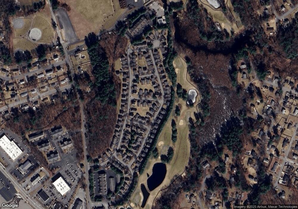
Map
Nearby Homes
- 107 Eagle Dr Unit 107
- 93 Fairway Dr
- 127 Caddy Ct
- 16 Eagle Dr
- 261 Apache Way
- 14 Hinckley Rd
- 6 Stonebury Way Unit 6
- 177 Apache Way Unit 177
- 71 Apache Way Unit 71
- 109 Apache Way
- 32 Decarolis Dr
- 142 Patrick Rd
- 70 Ronald Dr
- 1455 Main St Unit 4
- 1455 Main St Unit 10
- 1455 Main St Unit 8
- 1418 Main St Unit 201
- 40 Nichols St
- 61 Patrick Rd
- 20 Oakland Ave