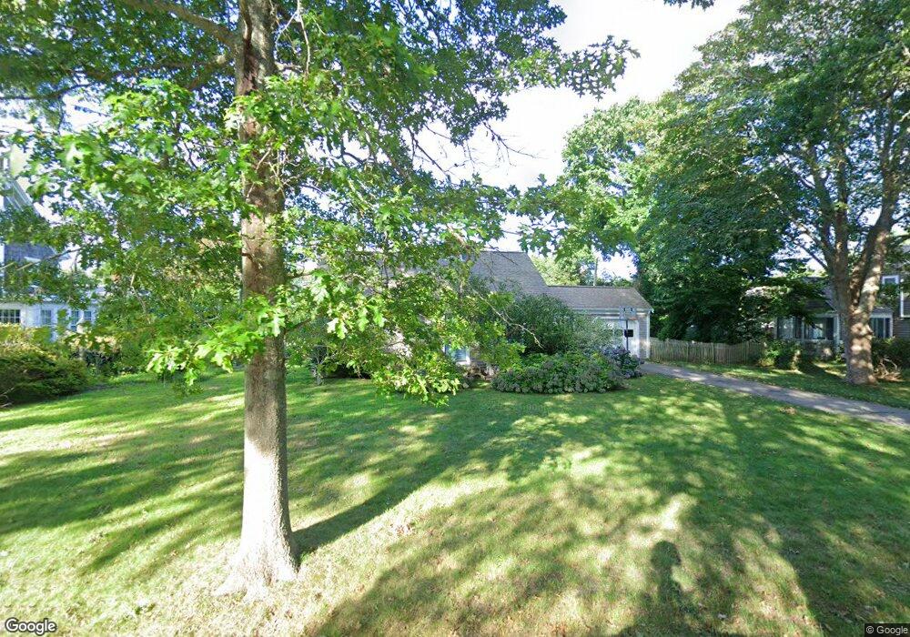
64 Pin Oak Way Falmouth, MA 02540
Falmouth Village NeighborhoodEstimated Value: $857,001 - $1,424,000
2
Beds
1
Bath
936
Sq Ft
$1,176/Sq Ft
Est. Value
About This Home
This home is located at 64 Pin Oak Way, Falmouth, MA 02540 and is currently estimated at $1,100,750, approximately $1,176 per square foot. 64 Pin Oak Way is a home located in Barnstable County with nearby schools including Mullen-Hall School, Lawrence School, and Morse Pond School.
Ownership History
Date
Name
Owned For
Owner Type
Purchase Details
Closed on
Apr 29, 2011
Sold by
King Jonathan D
Bought by
King Jonathan D and King Roxanne M
Current Estimated Value
Purchase Details
Closed on
Jul 24, 1985
Bought by
King Jonathan D and King Roxanne M
Create a Home Valuation Report for This Property
The Home Valuation Report is an in-depth analysis detailing your home's value as well as a comparison with similar homes in the area
Home Values in the Area
Average Home Value in this Area
Purchase History
| Date | Buyer | Sale Price | Title Company |
|---|---|---|---|
| King Jonathan D | -- | -- | |
| King Jonathan D | -- | -- | |
| King Jonathan D | -- | -- | |
| King Jonathan D | -- | -- |
Source: Public Records
Mortgage History
| Date | Status | Borrower | Loan Amount |
|---|---|---|---|
| Previous Owner | King Jonathan D | $148,000 | |
| Previous Owner | King Jonathan D | $150,000 | |
| Previous Owner | King Jonathan D | $75,000 |
Source: Public Records
Tax History Compared to Growth
Tax History
| Year | Tax Paid | Tax Assessment Tax Assessment Total Assessment is a certain percentage of the fair market value that is determined by local assessors to be the total taxable value of land and additions on the property. | Land | Improvement |
|---|---|---|---|---|
| 2025 | $4,793 | $816,500 | $476,700 | $339,800 |
| 2024 | $4,677 | $744,700 | $433,300 | $311,400 |
| 2023 | $4,344 | $627,800 | $358,600 | $269,200 |
| 2022 | $4,269 | $530,300 | $315,300 | $215,000 |
| 2021 | $4,298 | $505,600 | $315,300 | $190,300 |
| 2020 | $4,097 | $476,900 | $286,600 | $190,300 |
| 2019 | $4,045 | $472,500 | $286,600 | $185,900 |
| 2018 | $3,962 | $460,700 | $286,600 | $174,100 |
| 2017 | $3,868 | $453,400 | $286,600 | $166,800 |
| 2016 | $3,460 | $413,400 | $286,600 | $126,800 |
| 2015 | $3,386 | $413,400 | $286,600 | $126,800 |
| 2014 | $3,364 | $412,700 | $286,500 | $126,200 |
Source: Public Records
Map
Nearby Homes
- 71 Main St
- 98 Main St
- 98 Main St Unit 1
- 65 Walker St
- 30 Katherine Lee Bates Rd
- 15 Hedge Ln
- 33 Oakwood Ave
- 480 Main St Unit 1
- 110 Dillingham Ave Unit 322
- 38 Landfall Unit 38
- 38 Landfall
- 253 Scranton Ave
- 354 Gifford St Unit 5
- 354 Gifford St Unit 2
- 354 Gifford St Unit 6
- 87 Oyster Pond Rd
- 9 Fairmount Ave Unit 1
- 9 Fairmount Ave
- 55 Jericho Path
- 22 Alma Rd
- 76 Pin Oak Way
- 58 Pin Oak Way
- 170 Siders Pond Rd
- 166 Siders Pond Rd
- 71 Pin Oak Way
- 55 Pin Oak Way
- 184 Siders Pond Rd
- 86 Pin Oak Way
- 152 Siders Pond Rd
- 46 Pin Oak Way
- 6 Siders Pond Rd
- 85 Pin Oak Way
- 43 Pin Oak Way
- 196 Siders Pond Rd
- 144 Siders Pond Rd
- 165 Siders Pond Rd
- 177 Siders Pond Rd
- 96 Pin Oak Way
- 96 Pin Oak Way Unit B
- 96 Pin Oak Way Unit A