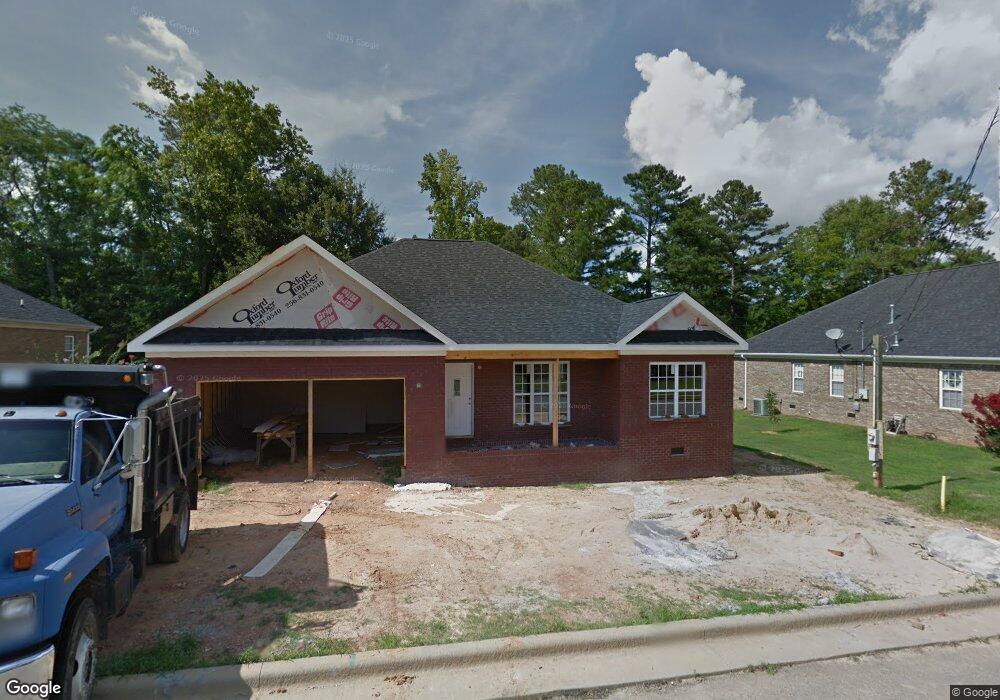
64 Right Fork Ln Unit 10 Oxford, AL 36203
Estimated Value: $243,000 - $274,104
3
Beds
2
Baths
1,630
Sq Ft
$158/Sq Ft
Est. Value
About This Home
This home is located at 64 Right Fork Ln Unit 10, Oxford, AL 36203 and is currently estimated at $258,026, approximately $158 per square foot. 64 Right Fork Ln Unit 10 is a home located in Talladega County with nearby schools including Oxford Middle School and Oxford High School.
Ownership History
Date
Name
Owned For
Owner Type
Purchase Details
Closed on
Aug 28, 2020
Sold by
Darnell Thomas Avery and Darnell Taleah
Bought by
Hutto Margie Roxannie
Current Estimated Value
Home Financials for this Owner
Home Financials are based on the most recent Mortgage that was taken out on this home.
Original Mortgage
$183,514
Outstanding Balance
$162,857
Interest Rate
2.9%
Mortgage Type
FHA
Estimated Equity
$95,169
Create a Home Valuation Report for This Property
The Home Valuation Report is an in-depth analysis detailing your home's value as well as a comparison with similar homes in the area
Home Values in the Area
Average Home Value in this Area
Purchase History
| Date | Buyer | Sale Price | Title Company |
|---|---|---|---|
| Hutto Margie Roxannie | $186,900 | Young Wollstein Jackson & Whit |
Source: Public Records
Mortgage History
| Date | Status | Borrower | Loan Amount |
|---|---|---|---|
| Open | Hutto Margie Roxannie | $183,514 | |
| Closed | Hutto Margie Roxannie | $183,514 |
Source: Public Records
Tax History Compared to Growth
Tax History
| Year | Tax Paid | Tax Assessment Tax Assessment Total Assessment is a certain percentage of the fair market value that is determined by local assessors to be the total taxable value of land and additions on the property. | Land | Improvement |
|---|---|---|---|---|
| 2024 | $969 | $26,290 | $2,730 | $23,560 |
| 2023 | $969 | $24,950 | $2,730 | $22,220 |
| 2022 | $772 | $44,980 | $7,440 | $37,540 |
| 2021 | $1,434 | $36,780 | $4,960 | $31,820 |
| 2020 | $598 | $16,480 | $0 | $0 |
| 2019 | $598 | $16,480 | $0 | $0 |
| 2018 | $541 | $15,020 | $0 | $0 |
| 2017 | $541 | $15,020 | $0 | $0 |
| 2016 | $541 | $15,020 | $0 | $0 |
| 2015 | $541 | $15,020 | $0 | $0 |
| 2014 | $723 | $31,560 | $0 | $0 |
| 2013 | -- | $0 | $0 | $0 |
Source: Public Records
Map
Nearby Homes
- 0 Drummond Ave Unit Lot 1 21414577
- 1911 Glen Davis Ln
- 2189 Friendship Rd
- 2102 Peek Dr
- 1604 Parker Ln
- 12 Hidden Oaks Dr
- 1601 Parker Ln
- 90 Lindy Ln
- 112 Lindy Ln
- 83 Bentbrook Cir
- 18 Martin Bailey Ln
- 34 Yellowstone Dr
- 72 Victoria Place
- 296 Victoria Place
- 2120 Deborah Ln
- 5039 Red Oak Dr
- 5040 Red Oak Dr
- 0 Ridge Crest Dr Unit 14
- 3001 Snow Ln
- 2071 Little John Dr
- 64 Right Fork Ln
- 80 Right Fork Ln
- 48 Right Fork Ln
- 65 Right Fork Ln
- 94 Right Fork Ln
- 53 Right Fork Ln
- 83 Right Fork Ln
- 40 Right Fork Ln
- 62 Center Ln Unit 26
- 62 Center Ln
- 99 Right Fork Ln Unit 21
- 99 Right Fork Ln
- 120 Right Fork Ln
- 138 Right Fork Ln
- 106 Right Fork Ln
- 15 Right Fork Ln
- 36 Right Fork Ln
- 36 Right Fork Ln Unit 7
- 74 Center Ln Unit 27
- 74 Center Ln