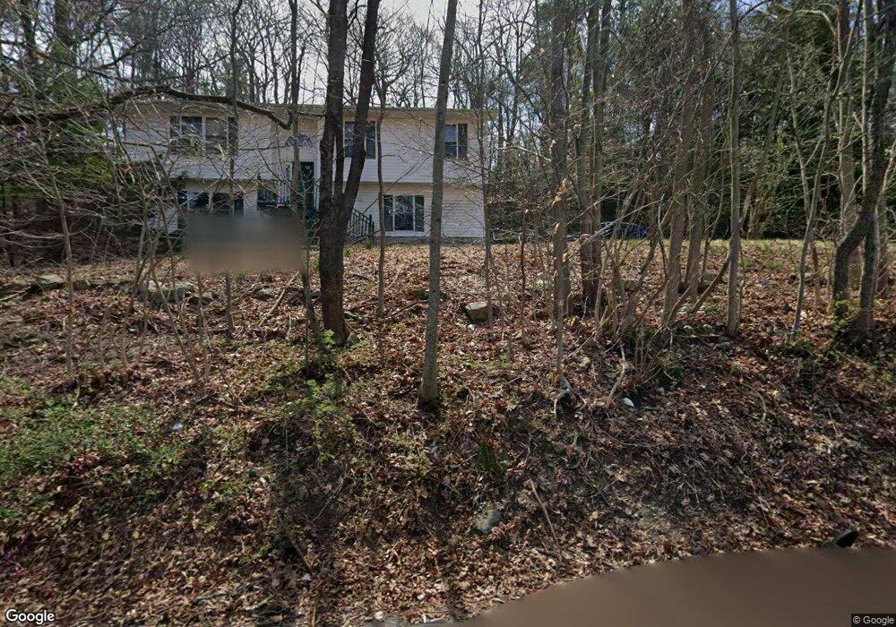
64 Riverside Rd Hewitt, NJ 07421
Estimated Value: $365,000 - $510,000
--
Bed
--
Bath
1,778
Sq Ft
$252/Sq Ft
Est. Value
About This Home
This home is located at 64 Riverside Rd, Hewitt, NJ 07421 and is currently estimated at $447,592, approximately $251 per square foot. 64 Riverside Rd is a home located in Passaic County with nearby schools including Macopin Middle School and West Milford High School.
Ownership History
Date
Name
Owned For
Owner Type
Purchase Details
Closed on
Aug 16, 2004
Sold by
Mccallum Dave
Bought by
Mccarthy Tim and Mccarthy Rosanne
Current Estimated Value
Home Financials for this Owner
Home Financials are based on the most recent Mortgage that was taken out on this home.
Original Mortgage
$150,000
Outstanding Balance
$74,531
Interest Rate
6.03%
Estimated Equity
$373,061
Purchase Details
Closed on
Feb 27, 1998
Sold by
George Reenstra & Edward Vaneeuwen Inc
Bought by
Mccallum David R and Mccallum Angela C
Home Financials for this Owner
Home Financials are based on the most recent Mortgage that was taken out on this home.
Original Mortgage
$150,500
Interest Rate
7.08%
Create a Home Valuation Report for This Property
The Home Valuation Report is an in-depth analysis detailing your home's value as well as a comparison with similar homes in the area
Home Values in the Area
Average Home Value in this Area
Purchase History
| Date | Buyer | Sale Price | Title Company |
|---|---|---|---|
| Mccarthy Tim | $310,000 | -- | |
| Mccallum David R | $158,500 | -- |
Source: Public Records
Mortgage History
| Date | Status | Borrower | Loan Amount |
|---|---|---|---|
| Open | Mccarthy Tim | $150,000 | |
| Previous Owner | Mccallum David R | $150,500 |
Source: Public Records
Tax History Compared to Growth
Tax History
| Year | Tax Paid | Tax Assessment Tax Assessment Total Assessment is a certain percentage of the fair market value that is determined by local assessors to be the total taxable value of land and additions on the property. | Land | Improvement |
|---|---|---|---|---|
| 2025 | $9,109 | $224,700 | $78,600 | $146,100 |
| 2024 | $9,157 | $224,700 | $78,600 | $146,100 |
| 2022 | $8,691 | $224,700 | $78,600 | $146,100 |
| 2021 | $8,505 | $224,700 | $78,600 | $146,100 |
| 2020 | $8,415 | $224,700 | $78,600 | $146,100 |
| 2019 | $8,303 | $224,700 | $78,600 | $146,100 |
| 2018 | $8,282 | $224,700 | $78,600 | $146,100 |
| 2017 | $8,321 | $224,700 | $78,600 | $146,100 |
| 2016 | $8,334 | $224,700 | $78,600 | $146,100 |
| 2015 | $8,238 | $224,700 | $78,600 | $146,100 |
| 2014 | $8,038 | $224,700 | $78,600 | $146,100 |
Source: Public Records
Map
Nearby Homes
- 74 Riverside Rd
- 36 Morsemere Rd
- 7 Chatham Rd
- 360 Lake Shore Dr
- 40 Kingsland Rd
- 3 Riverside Rd
- 96 Papscoe Rd
- 00 Linwood Rd
- 424 Lake Shore Dr
- 16 Hampton Rd
- 0 Gladstone Rd
- 43 Hampton Rd
- 40 Upper Greenwood Lake Rd
- 40 Upper Greenwood Rd
- 147 Papscoe Rd
- 5 Fanwood Ct
- 00 Fairlawn Dr
- 0 Kresson Rd
- 109 Fairlawn Dr
- 00 Jenkins Rd
- 0 Riverside Rd Unit 3646884
- 0 Riverside Rd
- 70 Riverside Rd
- 149 Upper Greenwood Lake Rd
- 149 Upper Greenwood Rd
- 54 Riverside Rd
- 136 Upper Greenwood
- 144 Upper Greenwood
- 144 Upper Greenwood Lake Rd
- 21 Newfield Rd
- 136 Upper Greenwood Lake Rd
- 151 Upper Greenwood Lake Rd
- 50 Riverside Rd
- 19 Newfield Rd
- 9 Newfield Rd
- 40 Morsemere Rd
- 157 Upper Greenwood Lake Rd
- 84 Riverside Rd
- 161 Upper Greenwood Lake Rd
- 26 Newfield Rd