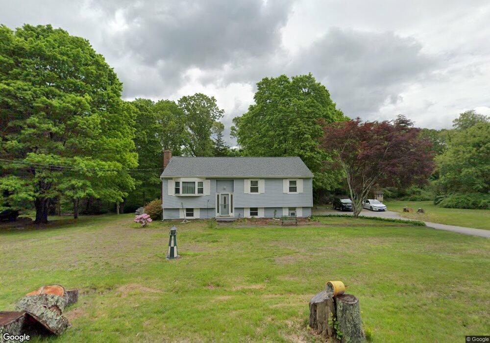
64 Ross Rd Preston, CT 06365
Estimated Value: $338,534 - $407,000
2
Beds
2
Baths
1,087
Sq Ft
$344/Sq Ft
Est. Value
About This Home
This home is located at 64 Ross Rd, Preston, CT 06365 and is currently estimated at $373,634, approximately $343 per square foot. 64 Ross Rd is a home located in New London County.
Ownership History
Date
Name
Owned For
Owner Type
Purchase Details
Closed on
Dec 28, 2020
Sold by
Cynthia L Cummins Lt and Cummins
Bought by
Cummins Cynthia L and Cummins
Current Estimated Value
Home Financials for this Owner
Home Financials are based on the most recent Mortgage that was taken out on this home.
Original Mortgage
$180,000
Interest Rate
2.7%
Mortgage Type
New Conventional
Purchase Details
Closed on
Jul 19, 2019
Sold by
Cummins Cynthia L
Bought by
Cynthia L Cummins Lt
Create a Home Valuation Report for This Property
The Home Valuation Report is an in-depth analysis detailing your home's value as well as a comparison with similar homes in the area
Home Values in the Area
Average Home Value in this Area
Purchase History
| Date | Buyer | Sale Price | Title Company |
|---|---|---|---|
| Cummins Cynthia L | -- | None Available | |
| Cynthia L Cummins Lt | -- | None Available | |
| Cummins Cynthia L | -- | None Available | |
| Cynthia L Cummins Lt | -- | -- | |
| Cynthia L Cummins Lt | -- | -- |
Source: Public Records
Mortgage History
| Date | Status | Borrower | Loan Amount |
|---|---|---|---|
| Previous Owner | Cummins Cynthia L | $180,000 |
Source: Public Records
Tax History Compared to Growth
Tax History
| Year | Tax Paid | Tax Assessment Tax Assessment Total Assessment is a certain percentage of the fair market value that is determined by local assessors to be the total taxable value of land and additions on the property. | Land | Improvement |
|---|---|---|---|---|
| 2025 | $4,171 | $166,110 | $48,580 | $117,530 |
| 2024 | $3,882 | $166,110 | $48,580 | $117,530 |
| 2023 | $3,812 | $166,110 | $48,580 | $117,530 |
| 2022 | $3,153 | $113,100 | $42,200 | $70,900 |
| 2021 | $3,047 | $113,100 | $42,200 | $70,900 |
| 2020 | $3,042 | $113,100 | $42,200 | $70,900 |
| 2019 | $2,989 | $113,100 | $42,200 | $70,900 |
| 2018 | $2,944 | $113,100 | $42,200 | $70,900 |
| 2017 | $2,767 | $115,300 | $42,200 | $73,100 |
| 2016 | $2,738 | $115,300 | $42,200 | $73,100 |
| 2015 | $2,652 | $115,300 | $42,200 | $73,100 |
| 2014 | $2,668 | $115,300 | $42,200 | $73,100 |
Source: Public Records
Map
Nearby Homes
- 39 Doolittle Rd
- 381 Route 2
- 5 Mattern Rd
- 118 Branch Hill Rd
- 15 Paster Rd
- 6 Lake of Isles Rd
- 14 Abbey Rd
- 16 Abbey Rd
- 146 Route 2
- 97 Thomas Rd
- 3 Webster Dr
- 6 Route 117
- 104 Route 2a
- 5 School House Rd
- 57 NW Corner Rd
- 11 Wicklow Turn
- 5 Arrowhead Dr
- 6 Arrowhead Dr
- 7 Barn Rd
- 0 Lake of Isles Rd Unit 170371521