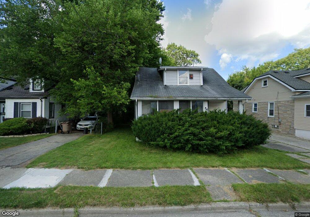
64 S Anderson Ave Pontiac, MI 48342
Estimated Value: $94,000 - $143,000
3
Beds
1
Bath
1,038
Sq Ft
$122/Sq Ft
Est. Value
About This Home
This home is located at 64 S Anderson Ave, Pontiac, MI 48342 and is currently estimated at $126,644, approximately $122 per square foot. 64 S Anderson Ave is a home located in Oakland County with nearby schools including Walt Whitman Elementary School, Pontiac Middle School, and Pontiac High School.
Ownership History
Date
Name
Owned For
Owner Type
Purchase Details
Closed on
Feb 23, 2011
Sold by
Secretary Of Housing & Urban Development
Bought by
Buckner Cleinte
Current Estimated Value
Purchase Details
Closed on
Apr 7, 2010
Sold by
Flagstar Fsb
Bought by
The Secretary Of Housing & Urban Develop
Purchase Details
Closed on
Oct 7, 2009
Sold by
Mortgage Electronic Registration Systems
Bought by
Flagstar Fsb
Purchase Details
Closed on
Oct 6, 2009
Sold by
Wynns Derek A and Wynns Nakia
Bought by
Mortgage Electronic Registration Systems
Purchase Details
Closed on
May 8, 1996
Sold by
Mccloud Ricardo A
Bought by
Wynns Derek
Create a Home Valuation Report for This Property
The Home Valuation Report is an in-depth analysis detailing your home's value as well as a comparison with similar homes in the area
Home Values in the Area
Average Home Value in this Area
Purchase History
| Date | Buyer | Sale Price | Title Company |
|---|---|---|---|
| Buckner Cleinte | $7,650 | None Available | |
| The Secretary Of Housing & Urban Develop | -- | None Available | |
| Flagstar Fsb | -- | None Available | |
| Mortgage Electronic Registration Systems | $77,278 | None Available | |
| Wynns Derek | $34,000 | -- |
Source: Public Records
Mortgage History
| Date | Status | Borrower | Loan Amount |
|---|---|---|---|
| Closed | Wynns Derek | -- |
Source: Public Records
Tax History Compared to Growth
Tax History
| Year | Tax Paid | Tax Assessment Tax Assessment Total Assessment is a certain percentage of the fair market value that is determined by local assessors to be the total taxable value of land and additions on the property. | Land | Improvement |
|---|---|---|---|---|
| 2024 | $986 | $35,770 | $0 | $0 |
| 2023 | $940 | $31,590 | $0 | $0 |
| 2022 | $1,070 | $27,700 | $0 | $0 |
| 2021 | $1,041 | $26,360 | $0 | $0 |
| 2020 | $854 | $23,520 | $0 | $0 |
| 2019 | $907 | $20,750 | $0 | $0 |
| 2018 | $870 | $19,200 | $0 | $0 |
| 2017 | $4,785 | $18,520 | $0 | $0 |
| 2016 | $861 | $17,960 | $0 | $0 |
| 2015 | -- | $16,500 | $0 | $0 |
| 2014 | -- | $14,250 | $0 | $0 |
| 2011 | -- | $19,570 | $0 | $0 |
Source: Public Records
Map
Nearby Homes
- 28 S Marshall St
- 505 Auburn Ave
- 511 E Pike St
- 46 N Anderson Ave
- 176 S Francis Ave
- 33 S Tasmania St
- 717 E Pike St
- 291 Michigan Ave
- 18 S Shirley St
- 88 N Astor St
- 53 N Midland Dr
- 328 Whittemore St
- 53 N Roselawn St
- 55 N Roselawn St
- 57 N Roselawn St
- 70 N Roselawn St
- 389 Osmun St
- 97 N Roselawn St
- 187 Wall St
- 59 Bellevue St
- 69 S Anderson Ave
- 75 S Anderson Ave
- 64 S Marshall St
- 70 S Marshall St
- 51 S Anderson Ave
- 79 S Anderson Ave
- 60 S Marshall St
- 54 S Marshall St
- 68 S Anderson Ave
- 74 S Anderson Ave
- 72 S Marshall St
- 50 S Marshall St
- 78 S Marshall St
- 80 S Marshall St
- 52 S Anderson Ave
- 78 S Anderson Ave
- 41 S Anderson Ave
- 63 S Edith St
- 59 S Edith St
- 67 S Edith St