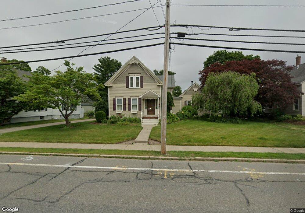
64 S Main St Mansfield, MA 02048
Estimated Value: $660,481
--
Bed
1
Bath
--
Sq Ft
1.1
Acres
About This Home
This home is located at 64 S Main St, Mansfield, MA 02048 and is currently estimated at $660,481. 64 S Main St is a home located in Bristol County with nearby schools including Everett W. Robinson Elementary School, Jordan/Jackson Elementary School, and Harold L. Qualters Middle School.
Ownership History
Date
Name
Owned For
Owner Type
Purchase Details
Closed on
Dec 31, 1993
Sold by
Mostue Patricia M and Marcussen Marcus J
Bought by
Mangano Michael C and Brown Karen L
Current Estimated Value
Home Financials for this Owner
Home Financials are based on the most recent Mortgage that was taken out on this home.
Original Mortgage
$126,000
Interest Rate
7%
Mortgage Type
Commercial
Create a Home Valuation Report for This Property
The Home Valuation Report is an in-depth analysis detailing your home's value as well as a comparison with similar homes in the area
Home Values in the Area
Average Home Value in this Area
Purchase History
| Date | Buyer | Sale Price | Title Company |
|---|---|---|---|
| Mangano Michael C | $157,500 | -- |
Source: Public Records
Mortgage History
| Date | Status | Borrower | Loan Amount |
|---|---|---|---|
| Open | Mangano Michael C | $115,000 | |
| Closed | Mangano Michael C | $111,300 | |
| Closed | Mangano Michael C | $126,000 |
Source: Public Records
Tax History Compared to Growth
Tax History
| Year | Tax Paid | Tax Assessment Tax Assessment Total Assessment is a certain percentage of the fair market value that is determined by local assessors to be the total taxable value of land and additions on the property. | Land | Improvement |
|---|---|---|---|---|
| 2025 | -- | $625,700 | $254,600 | $371,100 |
| 2024 | -- | $611,500 | $254,600 | $356,900 |
| 2023 | $0 | $570,800 | $254,600 | $316,200 |
| 2022 | $0 | $528,100 | $235,900 | $292,200 |
| 2021 | $3,248 | $478,000 | $206,300 | $271,700 |
| 2020 | $7,034 | $438,300 | $196,500 | $241,800 |
| 2019 | $3,023 | $431,500 | $163,800 | $267,700 |
| 2018 | $0 | $414,200 | $156,400 | $257,800 |
| 2017 | $0 | $405,900 | $152,100 | $253,800 |
| 2016 | -- | $356,100 | $144,600 | $211,500 |
| 2015 | -- | $340,200 | $144,600 | $195,600 |
Source: Public Records
Map
Nearby Homes
- 12 Wilson Place
- 21 East St Unit 1D
- 16 East St Unit 2
- 38 Court St
- 28 Court St
- 28 Court St Unit 4
- 72 Court St Unit B
- 72 Court St Unit A
- 76 Samoset Ave
- 14 School St
- 241-243 N Main St
- 150 Rumford Ave Unit 222
- 99 Pleasant St
- 22 Pleasant St Unit B
- 22 Pleasant St Unit A
- 82 Brook St
- 34 Warren Ave
- 245 Willow St
- 442 Ware St
- 460 Ware St
- 0 Confidential St Unit 71299106
- LOT Fruit St
- 00 L-3 Stearns Ave
- 0 Confidential St Unit 71299099
- LOT Roy Rd
- lot 6 Paul Jodice Way
- lot 1 Paul Jodice Way
- 0 0 Unit 2 71242751
- 70 S Main St
- 76 S Main St
- 24 Wilson Place
- 60 S Main St
- 28 Wilson Place
- 13 Wilson Place
- 3 Wilson Place
- 54 S Main St
- 25 Wilson Place
- 29 Webb Place Unit D
- 29 Webb Place Unit C
- 29 Webb Place Unit A