64 S Shore Rd Salisbury, CT 06068
Estimated Value: $1,078,000 - $1,716,000
5
Beds
2
Baths
2,140
Sq Ft
$608/Sq Ft
Est. Value
About This Home
This home is located at 64 S Shore Rd, Salisbury, CT 06068 and is currently estimated at $1,300,596, approximately $607 per square foot. 64 S Shore Rd is a home located in Litchfield County with nearby schools including Housatonic Valley Regional High School and Salisbury School.
Ownership History
Date
Name
Owned For
Owner Type
Purchase Details
Closed on
Feb 6, 2013
Sold by
Putnam Lucia R and Putnam Nelson B
Bought by
Flint Elizabeth P and Ahmann Robin P
Current Estimated Value
Purchase Details
Closed on
Apr 17, 1996
Sold by
Sexton Fred and Sexton Lisa
Bought by
Mongar Chris and Mongar Julie
Home Financials for this Owner
Home Financials are based on the most recent Mortgage that was taken out on this home.
Original Mortgage
$207,000
Interest Rate
7.34%
Mortgage Type
Unknown
Create a Home Valuation Report for This Property
The Home Valuation Report is an in-depth analysis detailing your home's value as well as a comparison with similar homes in the area
Home Values in the Area
Average Home Value in this Area
Purchase History
| Date | Buyer | Sale Price | Title Company |
|---|---|---|---|
| Flint Elizabeth P | -- | -- | |
| Flint Elizabeth P | -- | -- | |
| Mongar Chris | $259,000 | -- | |
| Mongar Chris | $259,000 | -- |
Source: Public Records
Mortgage History
| Date | Status | Borrower | Loan Amount |
|---|---|---|---|
| Previous Owner | Mongar Chris | $207,000 |
Source: Public Records
Tax History
| Year | Tax Paid | Tax Assessment Tax Assessment Total Assessment is a certain percentage of the fair market value that is determined by local assessors to be the total taxable value of land and additions on the property. | Land | Improvement |
|---|---|---|---|---|
| 2025 | $8,159 | $741,700 | $678,500 | $63,200 |
| 2024 | $8,159 | $741,700 | $678,500 | $63,200 |
| 2023 | $8,159 | $741,700 | $678,500 | $63,200 |
| 2022 | $8,159 | $741,700 | $678,500 | $63,200 |
| 2021 | $8,159 | $741,700 | $678,500 | $63,200 |
| 2020 | $7,503 | $646,800 | $564,500 | $82,300 |
| 2019 | $7,503 | $646,800 | $564,500 | $82,300 |
| 2018 | $7,309 | $646,800 | $564,500 | $82,300 |
| 2017 | $7,179 | $646,800 | $564,500 | $82,300 |
| 2016 | $6,921 | $646,800 | $564,500 | $82,300 |
| 2015 | $6,847 | $639,900 | $564,500 | $75,400 |
| 2014 | $7,098 | $676,000 | $564,500 | $111,500 |
Source: Public Records
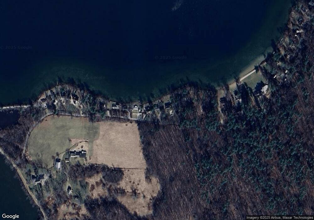
Map
Nearby Homes
- 102 S Shore Rd
- 118 Washinee Heights Rd
- 48 Preston Ln
- 552 Twin Lakes Rd
- 77 Beaver Dam Rd
- 9 Prospect Mountain Rd
- 5 Prospect Mountain Rd
- 182 Church St
- 000 Under Mountain Rd
- 100 Belden St
- 41 Prospect St
- 00 N Elm St
- 246 Ashley Falls Rd
- 47 E Main St
- 277 Ashley Falls Rd
- 72 N Elm St Unit 2A
- 24 E Main St
- 25 Fowler St
- 0 Under Mountain Rd
- 1786 S Undermountain Rd
- 60 S Shore Rd
- 68 S Shore Rd
- 56 S Shore Rd
- 76 S Shore Rd
- 52 S Shore Rd
- 82 S Shore Rd
- 46 S Shore Rd
- 42 S Shore Rd
- 88 S Shore Rd
- 36 S Shore Rd
- 94 S Shore Rd
- 32 S Shore Rd
- 28 S Shore Rd
- 111 Between the Lakes Rd Unit 115
- 00 S Shore Rd
- 26 S Shore Rd
- 112 S Shore Rd
- 116 S Shore Rd
- 147 Between the Lakes Rd
- 128 S Shore Rd