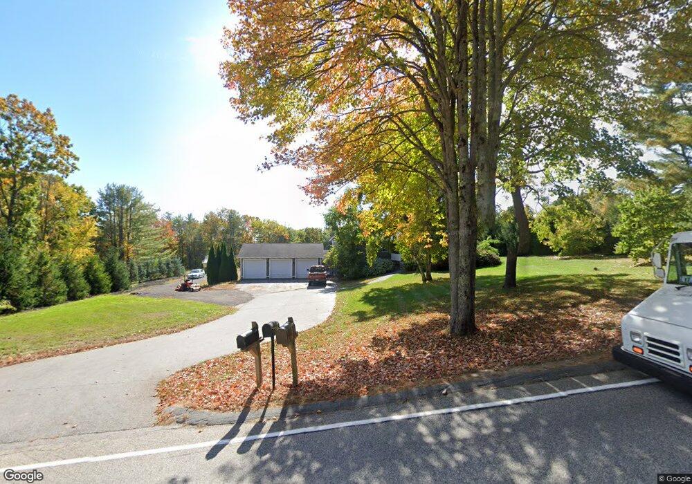
64 Scottow Hill Rd Scarborough, ME 04074
Estimated Value: $646,000 - $736,000
3
Beds
2
Baths
2,368
Sq Ft
$298/Sq Ft
Est. Value
About This Home
This home is located at 64 Scottow Hill Rd, Scarborough, ME 04074 and is currently estimated at $706,497, approximately $298 per square foot. 64 Scottow Hill Rd is a home located in Cumberland County with nearby schools including Scarborough High School and Cornerstone Baptist Academy.
Ownership History
Date
Name
Owned For
Owner Type
Purchase Details
Closed on
May 11, 2012
Sold by
Higgins Mary E and Dellolio Michael J
Bought by
Jarry Donald D
Current Estimated Value
Home Financials for this Owner
Home Financials are based on the most recent Mortgage that was taken out on this home.
Original Mortgage
$275,000
Outstanding Balance
$190,073
Interest Rate
4%
Mortgage Type
Commercial
Estimated Equity
$516,424
Create a Home Valuation Report for This Property
The Home Valuation Report is an in-depth analysis detailing your home's value as well as a comparison with similar homes in the area
Home Values in the Area
Average Home Value in this Area
Purchase History
| Date | Buyer | Sale Price | Title Company |
|---|---|---|---|
| Jarry Donald D | -- | -- |
Source: Public Records
Mortgage History
| Date | Status | Borrower | Loan Amount |
|---|---|---|---|
| Open | Jarry Donald D | $275,000 |
Source: Public Records
Tax History Compared to Growth
Tax History
| Year | Tax Paid | Tax Assessment Tax Assessment Total Assessment is a certain percentage of the fair market value that is determined by local assessors to be the total taxable value of land and additions on the property. | Land | Improvement |
|---|---|---|---|---|
| 2025 | $6,541 | $577,300 | $173,400 | $403,900 |
| 2024 | $6,310 | $577,300 | $173,400 | $403,900 |
| 2023 | $6,104 | $382,200 | $124,300 | $257,900 |
| 2022 | $5,882 | $382,200 | $124,300 | $257,900 |
| 2021 | $5,741 | $382,200 | $124,300 | $257,900 |
| 2020 | $5,679 | $382,200 | $124,300 | $257,900 |
| 2019 | $5,618 | $382,200 | $124,300 | $257,900 |
| 2017 | $4,850 | $294,100 | $157,400 | $136,700 |
| 2016 | $4,682 | $294,100 | $157,400 | $136,700 |
| 2015 | $4,556 | $294,100 | $157,400 | $136,700 |
| 2014 | $4,441 | $294,100 | $157,400 | $136,700 |
| 2013 | -- | $294,100 | $157,400 | $136,700 |
Source: Public Records
Map
Nearby Homes
- 46 Two Rod Rd
- 29-31 Haigis Pkwy
- 2 Bunker Hill Terrace
- 93 Two Rod Rd
- 44 Two Rod Rd
- 6 Rose Hill Way
- 156 Scarborough Downs Rd Unit 330
- 18 Millbrook Rd
- 00 Payne Rd
- 255 Payne Rd
- 19 Millbrook Rd
- 9 Evergreen Farms Rd
- 1 Cross St Unit 103
- 1 Cross St Unit 214
- 1 Cross St Unit 437
- 1 Cross St Unit 213
- 1 Cross St Unit 108
- 1 Cross St Unit 105
- 1 Cross St Unit 211
- 1 Cross St Unit 110
- 62 Scottow Hill Rd
- 0 Scottow Hill Rd
- 66 Scottow Hill Rd
- 5 Sunrise Dr
- 53 Scottow Hill Rd
- 11 Plantation Dr
- 61 Scottow Hill Rd
- 1 Plantation Dr
- 67 Scottow Hill Rd
- 15 Plantation Dr
- 74 Scottow Hill Rd
- 8 Plantation Dr
- 6 Plantation Dr
- 17 Plantation Dr
- 1 Two Rod Rd
- 4 Plantation Dr
- 59 Scottow Hill Rd
- 19 Plantation Dr
- 2 Two Rod Rd
- 2 Two Rod Rd