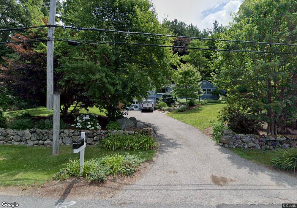
64 Shady Hill Rd Weston, MA 02493
Estimated Value: $1,865,799 - $2,294,000
4
Beds
4
Baths
2,695
Sq Ft
$761/Sq Ft
Est. Value
About This Home
This home is located at 64 Shady Hill Rd, Weston, MA 02493 and is currently estimated at $2,051,450, approximately $761 per square foot. 64 Shady Hill Rd is a home located in Middlesex County with nearby schools including Country Elementary School, Woodland Elementary School, and Weston Middle School.
Ownership History
Date
Name
Owned For
Owner Type
Purchase Details
Closed on
Mar 11, 2016
Sold by
Ganitsky David and Black-Ganitsky Heather
Bought by
Clymer Brian and Clymer Elizabeth A
Current Estimated Value
Home Financials for this Owner
Home Financials are based on the most recent Mortgage that was taken out on this home.
Original Mortgage
$980,000
Outstanding Balance
$779,256
Interest Rate
3.79%
Mortgage Type
Purchase Money Mortgage
Estimated Equity
$1,272,194
Purchase Details
Closed on
May 1, 2014
Sold by
Kenney Anthony V and Kenney Judith A
Bought by
Ganitsky David and Ganitsky Heather B
Home Financials for this Owner
Home Financials are based on the most recent Mortgage that was taken out on this home.
Original Mortgage
$980,000
Interest Rate
3%
Mortgage Type
Purchase Money Mortgage
Purchase Details
Closed on
Dec 20, 1989
Sold by
Drakopoulos Charles
Bought by
Kenney Anthony
Create a Home Valuation Report for This Property
The Home Valuation Report is an in-depth analysis detailing your home's value as well as a comparison with similar homes in the area
Home Values in the Area
Average Home Value in this Area
Purchase History
| Date | Buyer | Sale Price | Title Company |
|---|---|---|---|
| Clymer Brian | $1,225,000 | -- | |
| Ganitsky David | $1,225,000 | -- | |
| Kenney Anthony | $375,000 | -- |
Source: Public Records
Mortgage History
| Date | Status | Borrower | Loan Amount |
|---|---|---|---|
| Open | Clymer Brian | $980,000 | |
| Previous Owner | Ganitsky David | $980,000 | |
| Previous Owner | Kenney Anthony | $412,000 | |
| Previous Owner | Kenney Anthony | $417,000 |
Source: Public Records
Tax History Compared to Growth
Tax History
| Year | Tax Paid | Tax Assessment Tax Assessment Total Assessment is a certain percentage of the fair market value that is determined by local assessors to be the total taxable value of land and additions on the property. | Land | Improvement |
|---|---|---|---|---|
| 2025 | $17,096 | $1,540,200 | $824,900 | $715,300 |
| 2024 | $16,051 | $1,443,400 | $824,900 | $618,500 |
| 2023 | $15,457 | $1,305,500 | $824,900 | $480,600 |
| 2022 | $15,225 | $1,188,500 | $773,700 | $414,800 |
| 2021 | $22,341 | $1,132,200 | $736,900 | $395,300 |
| 2020 | $22,494 | $1,105,900 | $736,900 | $369,000 |
| 2019 | $13,184 | $1,047,200 | $682,500 | $364,700 |
| 2018 | $2,670 | $1,036,800 | $682,500 | $354,300 |
| 2017 | $12,856 | $1,036,800 | $682,500 | $354,300 |
| 2016 | $11,867 | $975,900 | $682,500 | $293,400 |
| 2015 | $11,477 | $934,600 | $650,100 | $284,500 |
Source: Public Records
Map
Nearby Homes
- 72 Shady Hill Rd
- 48 Shady Hill Rd
- 59 Shady Hill Rd
- 76 Shady Hill Rd
- 53 Shady Hill Rd
- 67 Shady Hill Rd
- 45 Shady Hill Rd
- 71 Westcliff Rd
- 40 Shady Hill Rd
- 82 Shady Hill Rd
- 37 Shady Hill Rd
- 112 Woodchester Dr
- 77 Westcliff Rd
- 63 Westcliff Rd
- 75 Scotch Pine Rd
- 75 Scotch Pine Rd
- 75 Scotch Pine Rd
- 87 Shady Hill Rd
- 69 Scotch Pine Rd
- 104 Woodchester Dr