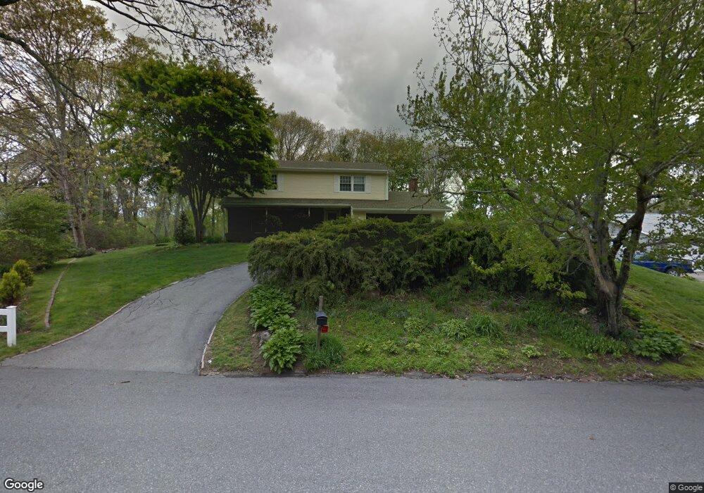
64 Sherwood Dr Westerly, RI 02891
Estimated Value: $567,000 - $710,000
4
Beds
3
Baths
2,188
Sq Ft
$295/Sq Ft
Est. Value
About This Home
This home is located at 64 Sherwood Dr, Westerly, RI 02891 and is currently estimated at $645,501, approximately $295 per square foot. 64 Sherwood Dr is a home located in Washington County with nearby schools including Westerly High School and St. Michael School.
Ownership History
Date
Name
Owned For
Owner Type
Purchase Details
Closed on
Feb 26, 2020
Sold by
Serra Geoffrey P and Serra Elizabeth M
Bought by
Geoffrey & E Serra Irt
Current Estimated Value
Purchase Details
Closed on
Aug 6, 1982
Bought by
Serra Geoffrey P and Serra Elizabeth M
Create a Home Valuation Report for This Property
The Home Valuation Report is an in-depth analysis detailing your home's value as well as a comparison with similar homes in the area
Home Values in the Area
Average Home Value in this Area
Purchase History
| Date | Buyer | Sale Price | Title Company |
|---|---|---|---|
| Geoffrey & E Serra Irt | -- | None Available | |
| Serra Geoffrey P | -- | -- |
Source: Public Records
Mortgage History
| Date | Status | Borrower | Loan Amount |
|---|---|---|---|
| Previous Owner | Serra Geoffrey P | $50,000 | |
| Previous Owner | Serra Geoffrey P | $50,000 |
Source: Public Records
Tax History Compared to Growth
Tax History
| Year | Tax Paid | Tax Assessment Tax Assessment Total Assessment is a certain percentage of the fair market value that is determined by local assessors to be the total taxable value of land and additions on the property. | Land | Improvement |
|---|---|---|---|---|
| 2025 | $4,223 | $594,000 | $232,700 | $361,300 |
| 2024 | $4,328 | $441,200 | $158,900 | $282,300 |
| 2023 | $4,244 | $441,200 | $158,900 | $282,300 |
| 2022 | $4,218 | $441,200 | $158,900 | $282,300 |
| 2021 | $4,252 | $369,100 | $138,500 | $230,600 |
| 2020 | $4,175 | $369,100 | $138,500 | $230,600 |
| 2019 | $4,134 | $369,100 | $138,500 | $230,600 |
| 2018 | $3,721 | $313,200 | $127,700 | $185,500 |
| 2017 | $3,630 | $313,200 | $127,700 | $185,500 |
| 2016 | $3,658 | $313,200 | $127,700 | $185,500 |
| 2015 | $3,588 | $331,600 | $141,300 | $190,300 |
| 2014 | $3,528 | $331,600 | $141,300 | $190,300 |
Source: Public Records
Map
Nearby Homes
- 54 Sherwood Dr
- 17 Plateau Rd
- 33 Stuart St
- 2 Belle Rose Dr Unit A
- 30 Clifford Dr
- 9 Compass Way Unit 201
- 9 Compass Way Unit 202
- 9 Compass Way Unit 101
- 9 Compass Way Unit 102
- 9 Compass Way Unit 103
- 9 Compass Way Unit 203
- 28 Whipple Ave
- 432 Atlantic Ave
- 470 Atlantic Ave
- 9 Cedar Crest Dr
- 35 Pound Rd
- 22 Breach Dr
- 597 Atlantic Ave
- 15 Breach Dr
- 37 Pound Rd
- 66 Sherwood Dr
- 60 Sherwood Dr
- 60 Sherwood Dr & Ct
- 63 Sherwood Dr
- 65 Sherwood Dr
- 4 Sablemont Ct
- 68 Sherwood Dr
- 2 Sablemont Ct
- 58 Sherwood Dr
- 56 Sherwood Dr & Ct
- 67 Sherwood Dr & Ct
- 16 Sherwood Dr
- 18 Sherwood Dr
- 67 Sherwood Dr
- 9 Sablemont Ct
- 56 Sherwood Dr
- 20 Sherwood Dr
- 69 Sherwood Dr & Ct
- 1 Sablemont Ct
- 69 Sherwood Dr